QRStamper GPS Alternatives for Windows

Do you want to find the best QRStamper GPS alternatives for Windows? We have listed 10 Multimedia that are similar to QRStamper GPS. Pick one from this list to be your new QRStamper GPS app on your computers. These apps are ranked by their popularity, so you can use any of the top alternatives to QRStamper GPS on your computers.
Top 10 Software Like QRStamper GPS - Best Picks for 2026
The best free and paid QRStamper GPS alternatives for windows according to actual users and industry experts. Choose one from 10 similar apps like QRStamper GPS 2026.
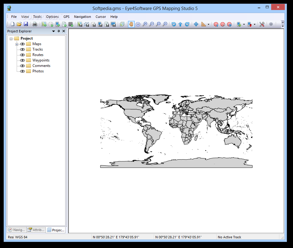
Eye4Software GPS Mapping Studio
A GPS mapping software that allows you to import, export and edit mapsLoading topographic maps, realtime navigation, track recording, managing GPS devices are just some of the features that Eye4Software GPS Mapping Studio offers you.The program supports various map...
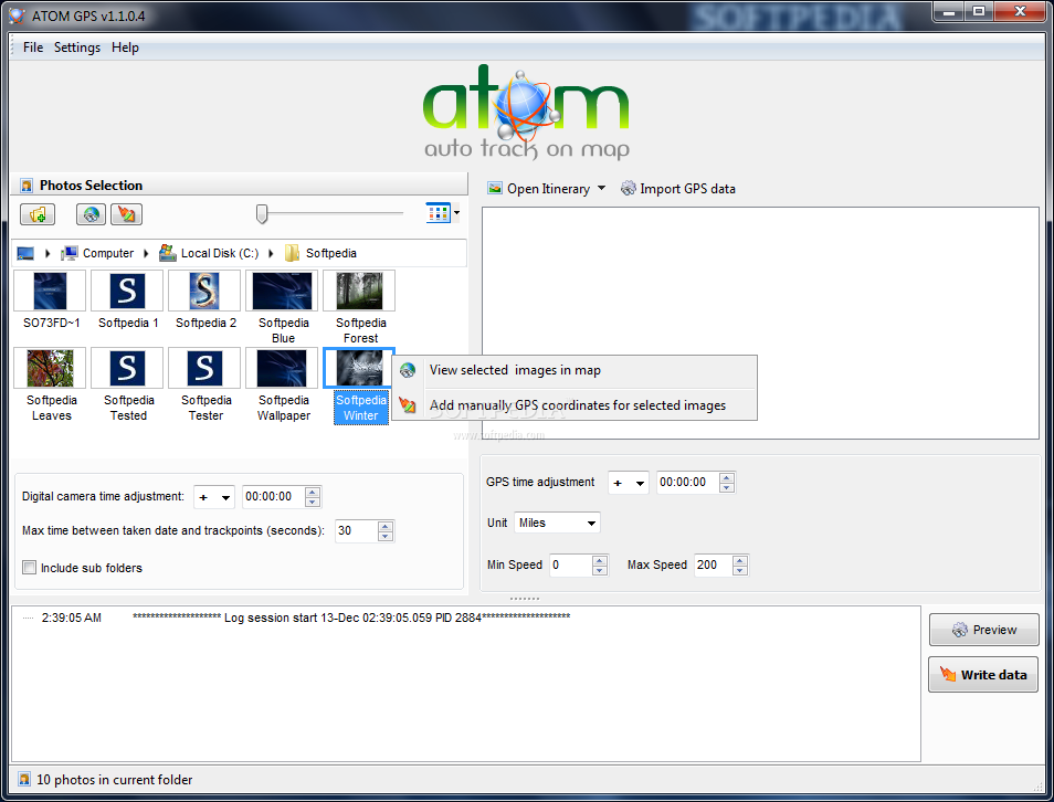
ATOM GPS
Add geotags to your photos automatically or manually using this straightforward application with support for multiple GPS devicesATOM GPS is a straightforward and approachable software application made for adding geotags to your pictures with minimum effort on your behalf.It...
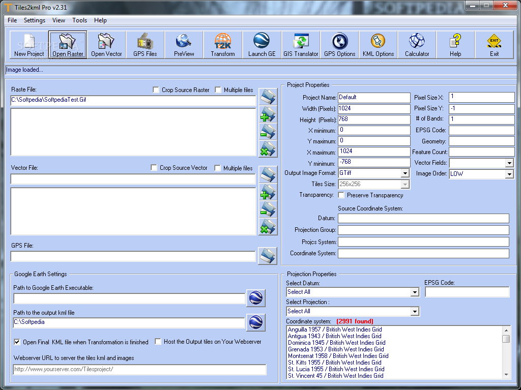
Tiles2kml Pro
Transfer your Geographic information data into Google EarthT2K Pro integrates the rich world of GIS datasets and transfers your Geographic information data into Google Earth. T2K Pro can handle rich data types and access large volumes of geographic data...
Picmeta PhotoTracker
Geolocate any of your images taken with a digital camera by resorting to this lightweight piece of software that can extract data from any GPS deviceSometimes, your memories get all mixed up, but there is always the possibility of...
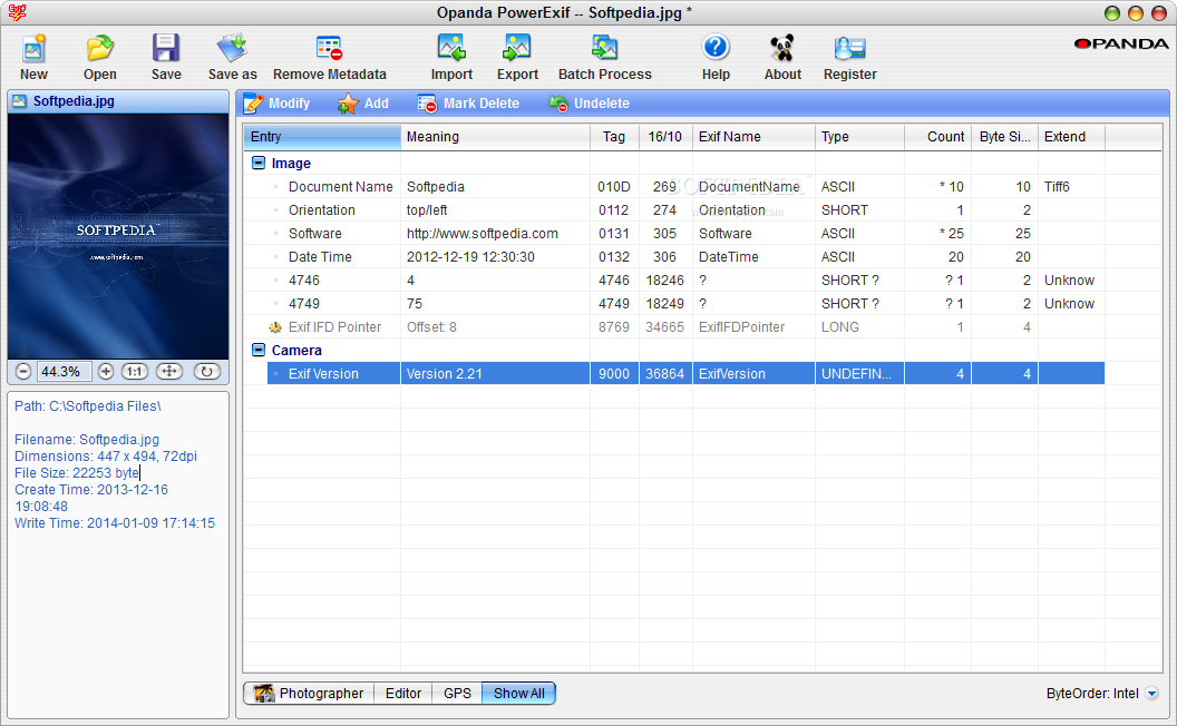
PowerExif Professional
The application allows you to modify, add or remove EXIF data to your images, such as details about the camera, GPS coordinates and copyright What's new in PowerExif Professional 1.2: Added DCF specification Added Interoperability IFD Added Makernote of...
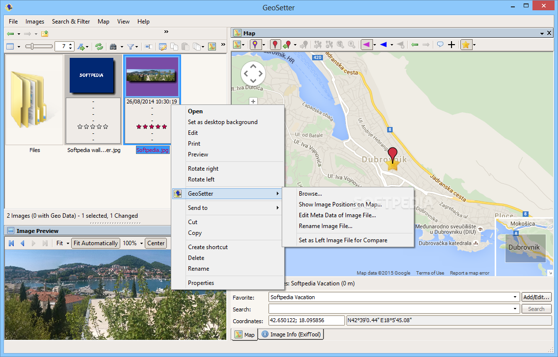
GeoSetter
View digital camera photos and pinpoint them in maps, edit and synchronize geo data, create rules to find, filter or rename files in bulk, and more What's new in GeoSetter 3.5.3 Build 2195: Changes: Sometimes GeoSetter crashed when checking...
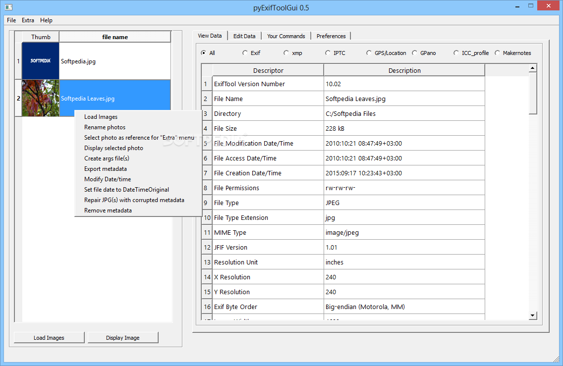
pyExifToolGUI
A GUI for ExifTool that makes it possible for users to read or modify metadata of their images, as well as remove or export it to other formats What's new in pyExifToolGUI 0.5: Add a Lens tab to enable...
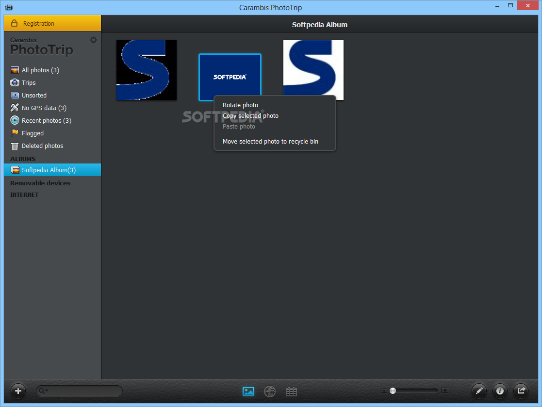
Carambis PhotoTrip
Associate photos with GPS tracks and share your trip details with friends using this reliable and user-friendly software solutionWhen going on trips, most people take a lot of photos of all the beautiful places they visit, but after they...
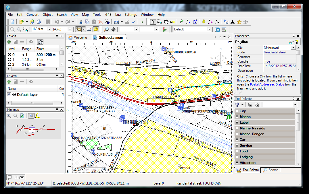
Martis Lite
Create and edit GPS vector maps What's new in Martis Lite 1.3.2: Error loading maps with bookmarks (stievie) resolved. More flexible bookmark type (stievie) resolved. Coordinate dialoguse current tracker position (stievie) resolved. DEM importremove lines...