Elevation Mapper Alternatives for Windows
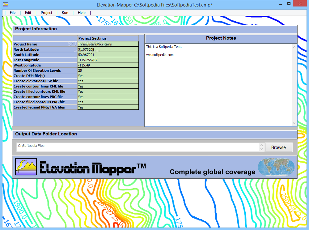
Do you want to find the best Elevation Mapper alternatives for Windows? We have listed 19 Science Cad that are similar to Elevation Mapper. Pick one from this list to be your new Elevation Mapper app on your computers. These apps are ranked by their popularity, so you can use any of the top alternatives to Elevation Mapper on your computers.
Top 19 Software Like Elevation Mapper - Best Picks for 2025
The best free and paid Elevation Mapper alternatives for windows according to actual users and industry experts. Choose one from 19 similar apps like Elevation Mapper 2025.

InnerSoft CAD for AutoCAD
AutoCAD plugin that facilitates fast data exporting to Excel and features tools for performing measurements in CAD-based projectsInnerSoft CAD for AutoCAD is a plugin for AutoCAD that aims to ease the process of manually exporting data from the popular...
Arcv2CAD
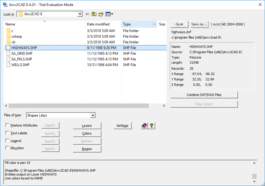
Convert ArcView and ESRI shape files to DXF or DWG filetype ready fo AutoCAD using this advanced program that lets you control every aspectArcv2CADis a tool designed to help you easily turn ESRI shapes file (supported by ArcView) into...
Abutments
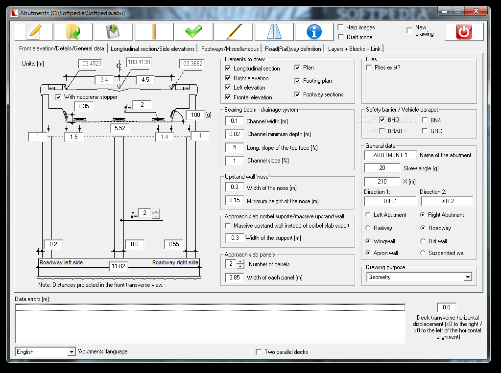
Software solution that allows you to automatically draw bridge abutments, it draws in CAD the entire design of a bridge abutment, including plans, elevations, sections in 2DThe Internet is filled with all sort of applications that you could use...
TopM8
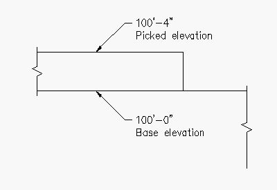
An AutoCAD helper that can insert elevation values in your projects.TopM8 allows you to quickly create a leader line and insert the elevation on your AutoCAD drawings. The add-in is designed to help you insert the elevation by selecting...
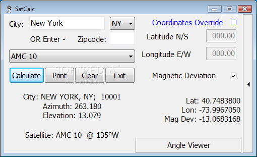
SatCalc
Calculator that helps you identify the azimuth and elevation coordinates of a geostationary satellite and check out a graphical representationSatCalc is a small Windows application whose purpose is to help technicians who work in the field of satellite communication...
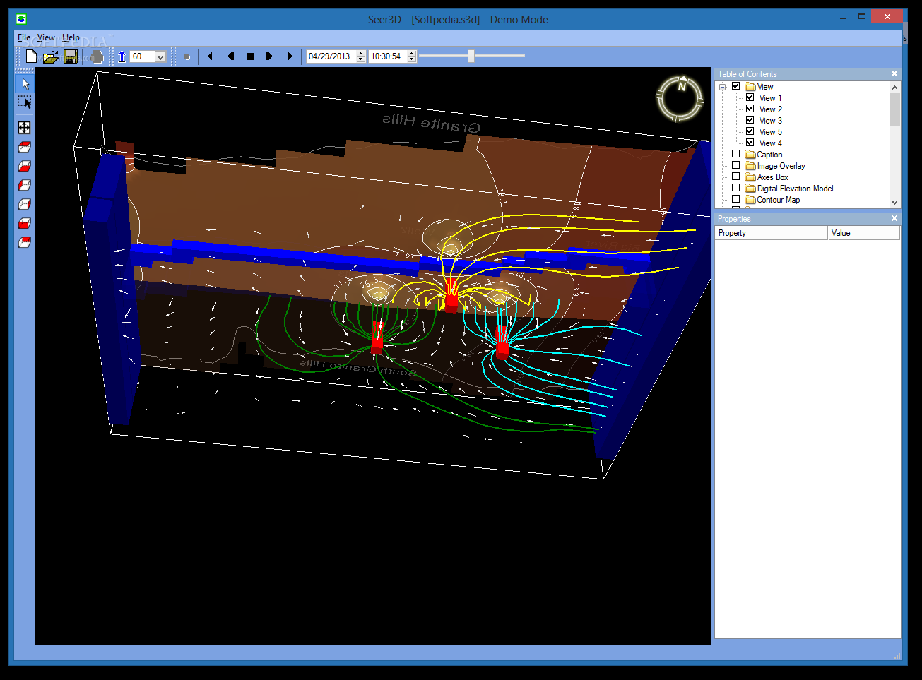
Seer3D
View and analyze groundwater and Digital Elevation Models that you can later on incorporate with other AutoCAD programs via this application What's new in Seer3D 2.11: Added support for cell-by-cell flow (budget) files that are saved in the compact...
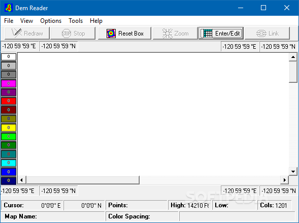
Dem Reader
A DEM reader for cave surveyors that quickly creates scans that are easy to read and extremely helpful for exploration and speleological endeavoursSpeleology for connaisseurs is the science of cave exploration, and like all other disciplines, it too has...
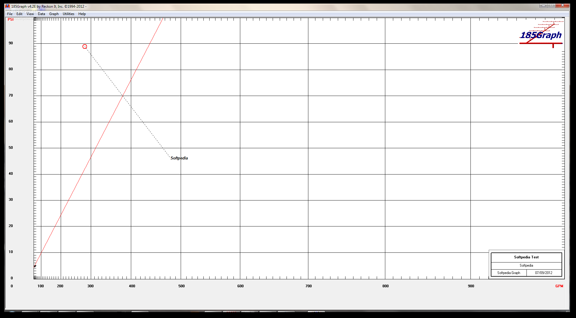
185Graph
Generate, print and copy graphs which are plotted based on the fire sprinkler hydraulic calculation in relationship to water supply demand What's new in 185Graph 4.2H: Grid Form: Fixed Kfactor error trap error (Intenational Units only) Read the...
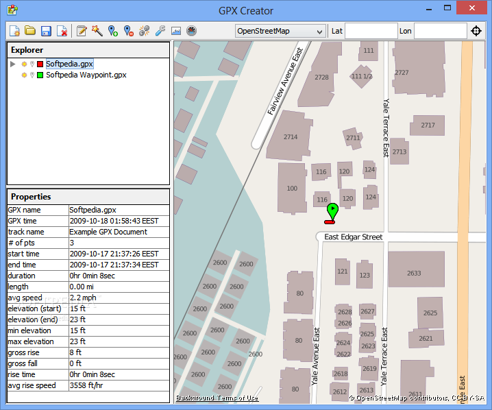
GPX Creator
Create, edit and analyze GPX maps and routes, pin new waypoints on the map, read the tags of a GPX file, and view the elevation graph of a selected routeGPX Creator has a pretty suggestive name that clearly states...
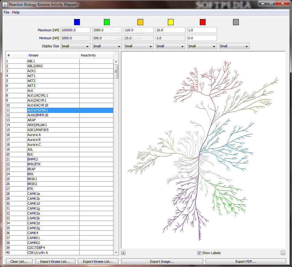
Reaction Biology Kinome Activity Mapper
Java-based kinome mapping solutionReaction Biology Kinome Activity Mapper is designed as an accessible and very easy-to-use kinome mapping tool to present enzyme inhibition data.Reaction Biology Kinome Activity Mapper is a very useful tool for mapping enzyme data.Being developed using...
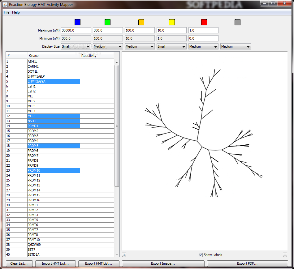
Reaction Biology HMT Activity Mapper
Kinase activity map built in JavaReaction Biology HMT Activity Mapper is designed as an easy-to-use piece of software that is supposed to provide a visual map of kinase activities from your input.Simply scroll down the list of kinases, and...

HEC-RAS
Comprehensive software designed to help you perform one-dimensional hydraulic calculations for natural or constructed channels with the aid of graphs and reports, data storage and management options, RAS Mapper, as well as hydraulic analysisHEC-RAS is a professional Windows application...
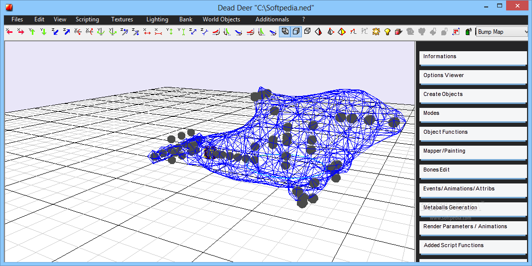
Dead Deer
Create 3D games and demos in a user-friendly working environment that provides the necessary tools for handling textures and creating realistic shading effectsBehind the many hours spent fully living a tale told by a video game are countless more...
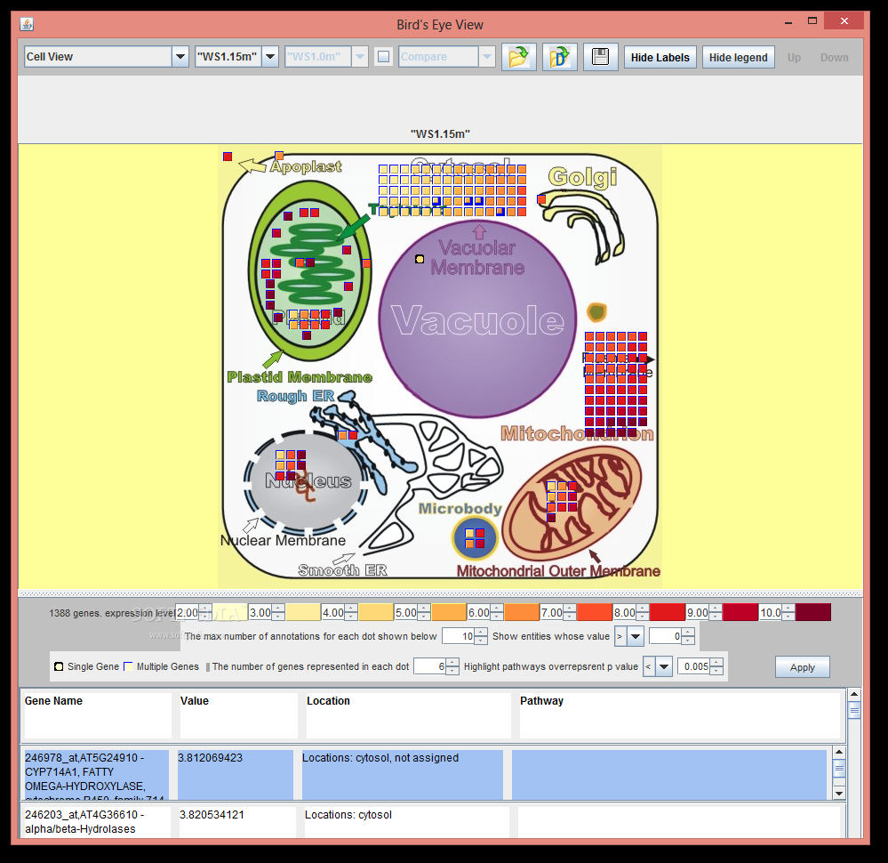
Bird's Eye View
A biomolecule data mapper and viewer.Bird's Eye View is a Java application designed to provide you with and overview of experimental data by organizing the information to different cell compartments or pathways.You can load data from online resources or...

BLIM Toolbox
Handy Matlab toolbox for your daily useBLIM Toolbox is a collection of handy instruments that has been designed for the extraction and analysis of visual features in Argus images of the nearshore zone.The toolbox provides an implementation of the...
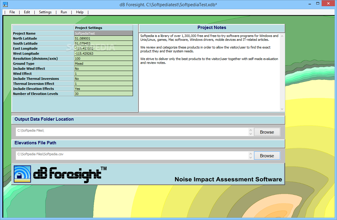
dB Foresight
An efficient program that construction engineers can use whenever they want to determine the level of noise pollution in an areadB Foresight is a professional and reliable software solution created to help you determine the level of noise in...
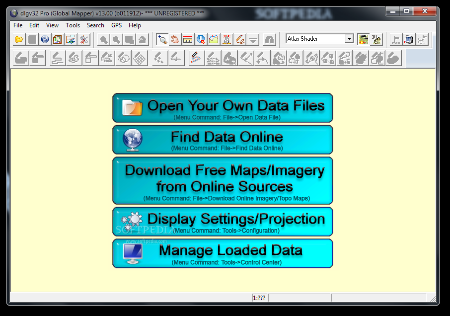
dlgv32 Pro
Convert and process multiple geographic data files with this tool.dlgv32 Pro is a handy application that allows you to handle geographic imagery of various formats. The program supports elevation, raster and vector images saved as BMP, ARC, DEM, CMF,...
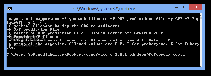
GenoSuite
A set of tools for performing proteogenomic analysis.GenoSuite is a simple and lightweight application that provides you with a set of tools for proteogenomic analysis.Orf mapper performs changes in existing gene models based on a Genbank file and groups...