GIS ObjectLand Alternatives for Windows
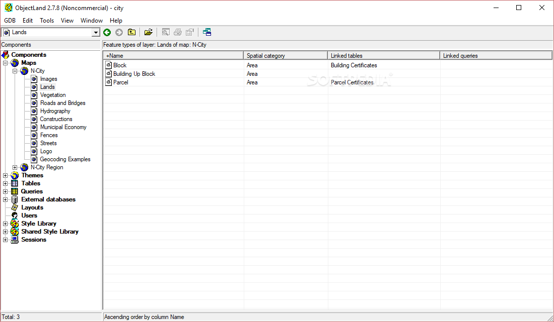
Do you want to find the best GIS ObjectLand alternatives for Windows? We have listed 10 Science Cad that are similar to GIS ObjectLand. Pick one from this list to be your new GIS ObjectLand app on your computers. These apps are ranked by their popularity, so you can use any of the top alternatives to GIS ObjectLand on your computers.
Top 10 Software Like GIS ObjectLand - Best Picks for 2025
The best free and paid GIS ObjectLand alternatives for windows according to actual users and industry experts. Choose one from 10 similar apps like GIS ObjectLand 2025.
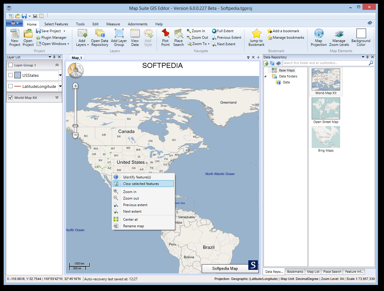
Map Suite GIS Editor
Preview and analyze geographic dataMap Suite GIS Editor is a feature-packed application that allows teachers and students alike design maps, analyze geographic data and visualize it.Its intuitive interface comes in handy to beginners who want to get familiarized with...
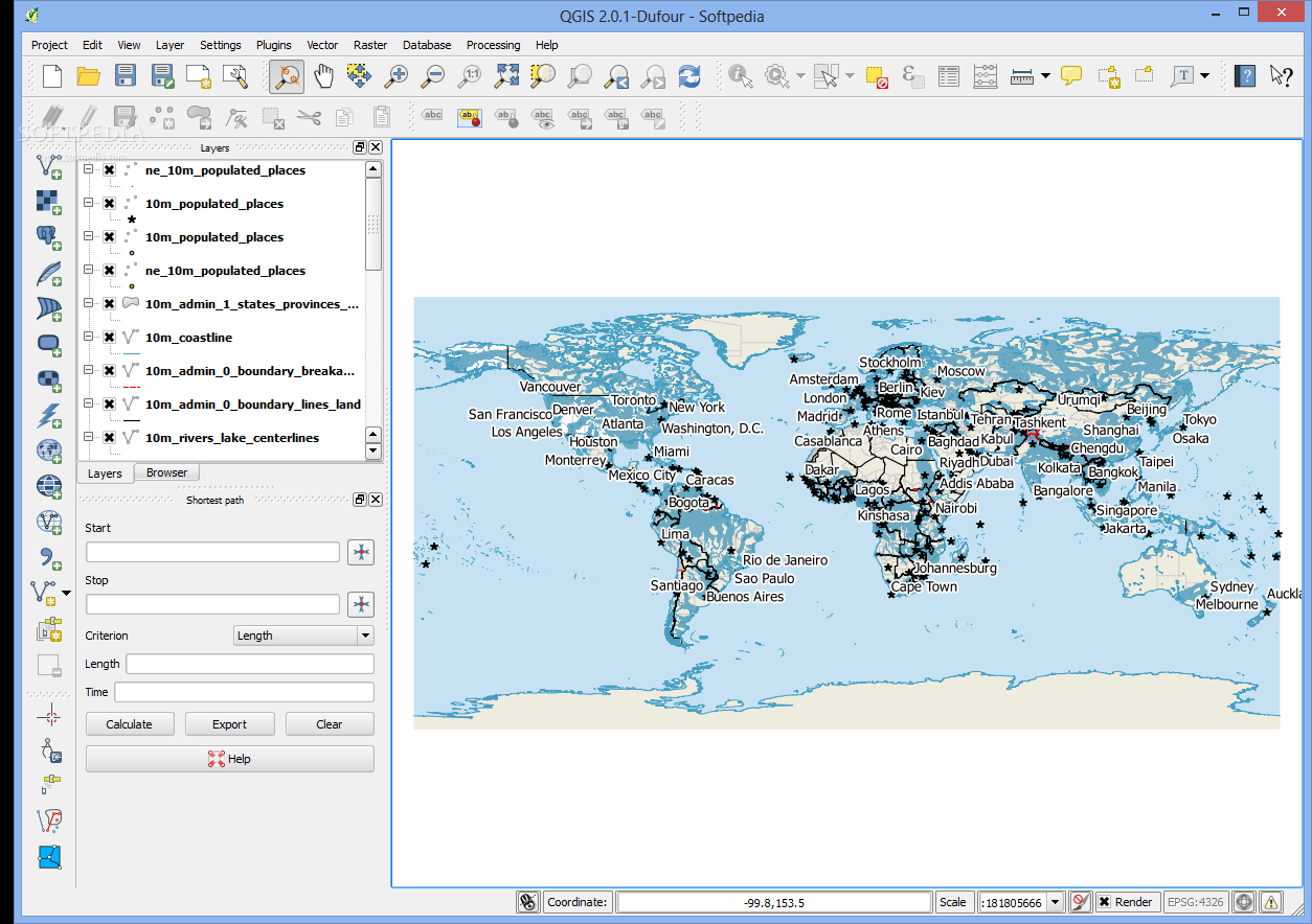
Quantum GIS
Take advantage of the large variety of advanced tools put at your disposal in order to create maps from scratch or edit existing onesQuantum GISprovides you with a Geographic Information System (GIS) to help you quickly and easily create...
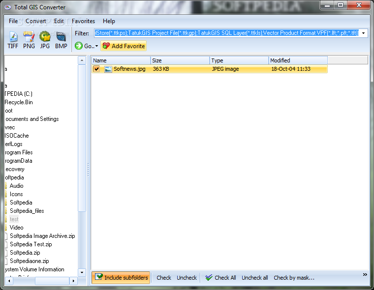
Total GIS Converter
Convert GIS files to TIFF, PNG, JPEG, or BMP file format, slice large files into several parts, process items in batches and preserve the original file structure, as well as resize the output imagesTotal GIS Converter is a lightweight...
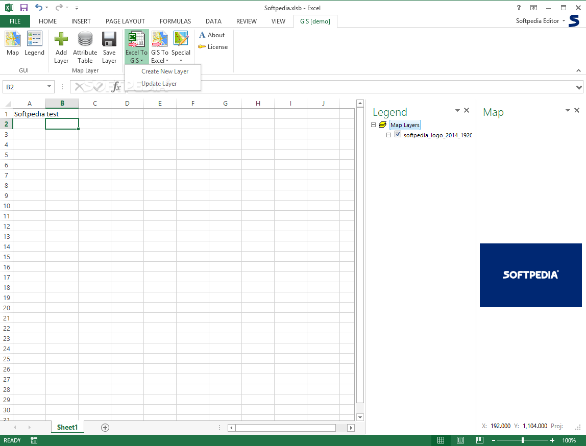
GIS.XL
Process spatial data, turn excel tables into maps, intersect layers, create buffers and export data to KML by turning to this handy Excel add-in What's new in GIS.XL 2.0: The GIS.XL ribbon toolbar tab looks like in the previous...
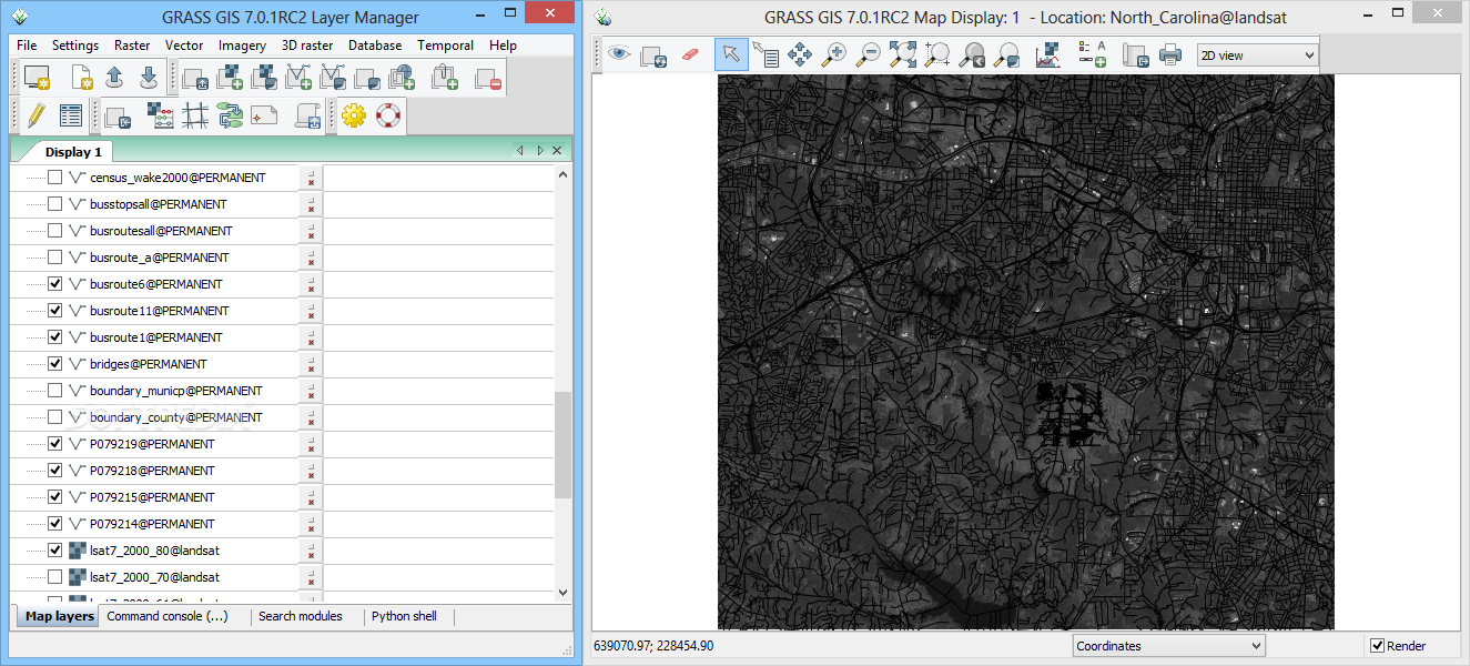
GRASS GIS
Create maps, manipulate raster and vector objects, analyze geographical data and much more, with this complex and intuitive GIS application What's new in GRASS GIS 7.8.3: Major module changes: G78:i.vi: write out FCELL instead of DCELL (PR:236) G78:r.kappa: maps...
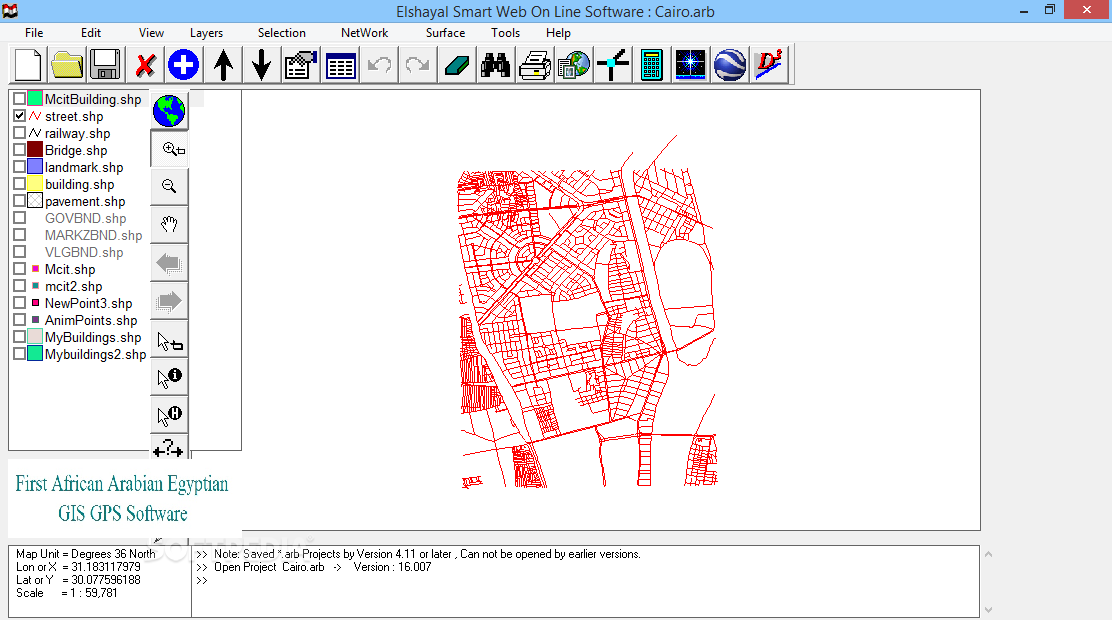
Elshayal Smart GIS
View, edit and create shape and DBF files, rectify raster images, convert shape files to DXF format or to a HTML5 page, analyze areas and surfaces, all with this applicationSmart GIS is a lightweight software program which allows you...
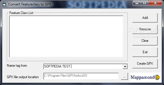
GPX Converter for ArcGIS
Convert GIS files to GPX formatThe GPX Converter is an ArcObjects application that allows for easy conversion of your GIS data (shapefiles, featureclasses in a geodatabase and other formats supported by ArcGIS) to GPX format (the GPS Exchange Format).GPX...
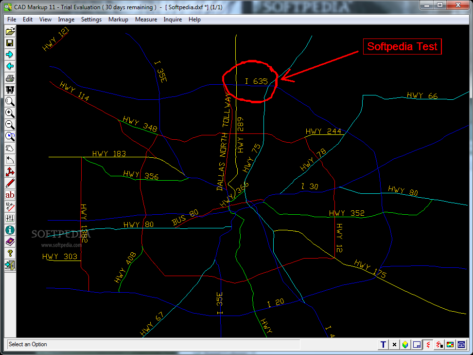
CAD Markup
Allows you to annotate CAD files and export them to image files.CAD Markup is a useful application for the engineers and users who need to make annotations on CAD files. The program can open both vector and raster file...
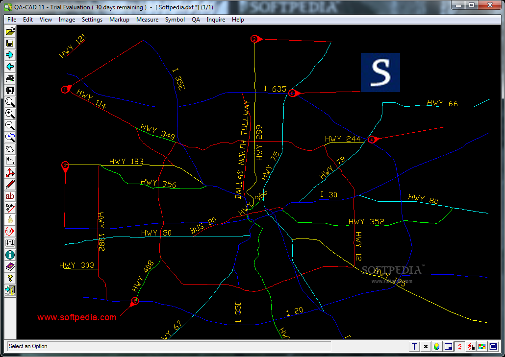
QA-CAD
A CAD editor that allows you to add QA stamps to your files.SymbolCAD is a useful program designed to enhance your documents with numbered stamps and markup notes. The program also includes the ability to create symbol collections of...