MountainsMap Premium Alternatives for Windows

Do you want to find the best MountainsMap Premium alternatives for Windows? We have listed 11 Science Cad that are similar to MountainsMap Premium. Pick one from this list to be your new MountainsMap Premium app on your computers. These apps are ranked by their popularity, so you can use any of the top alternatives to MountainsMap Premium on your computers.
Top 11 Software Like MountainsMap Premium - Best Picks for 2026
The best free and paid MountainsMap Premium alternatives for windows according to actual users and industry experts. Choose one from 11 similar apps like MountainsMap Premium 2026.

MountainsMap SPM
Dedicated imaging & analysis solution for scanning probe microscopes What's new in MountainsMap SPM 6.2.6266: Surface partitioning with or without leveling: A sub-surface can be extracted with or without leveling using the Partition Leveling operator. Contour Analysis/Advanced Contour Analysis...

MountainsMap Universal
Simply the best, most comprehensive solution for surface imaging & analysis What's new in MountainsMap Universal 6.2.6266: Surface partitioning with or without leveling: A sub-surface can be extracted with or without leveling using the Partition Leveling operator. Contour Analysis/Advanced...
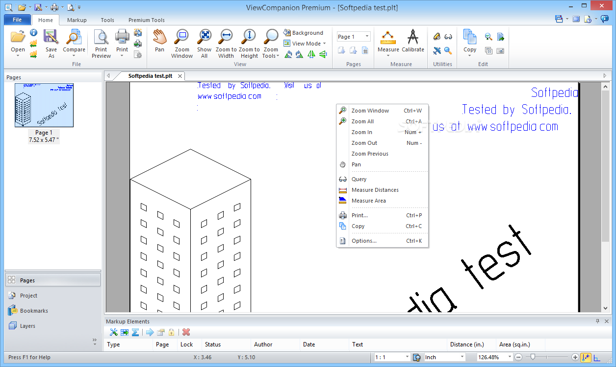
ViewCompanion Premium
Clean and tabbed program which enables you to open and view CAD files and images, as well as edit, convert, compare and print them What's new in ViewCompanion Premium 12.33: This update solves a critical error related to reading...

Autodesk Design Suite Premium
Visual Communication & RenderingA high-value offering for architects and designers, Autodesk Design Suite Premium software combines the power of AutoCAD software with leading visual communication tools. Solutions for sketching, illustration, 3D rendering, animation, and interactive presentations help you design...

Autodesk Infrastructure Design Suite Premium
Intelligent Model-Based DesignAutodesk Infrastructure Design Suite Premium for civil engineers adds model-based design, analysis, and visualization capabilities for a comprehensive Building Information Modeling (BIM) solution for infrastructure projects.Efficiently design, analyze, and deliver coordinated documentation; create near photorealistic renderings and...
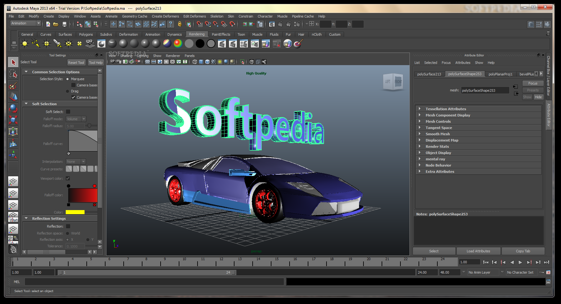
Autodesk Entertainment Creation Suite Ultimate
Powerful 3D modeling and animation, provided by a collection of flexible and powerful tools that will help to produce high quality contentAutodesk Entertainment Creation Ultimate offers a set of must-have 3D tools to help power a modern pipeline.With Autodesk...
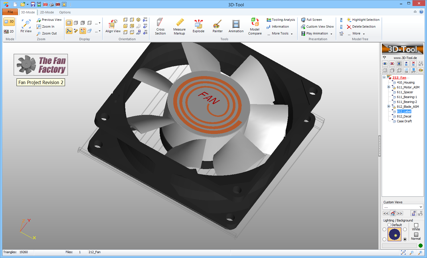
3D-Tool
A comprehensive, yet easy to use application that can import and read both 3D and 2D CAD files, including native CATIA or Autodesck Inventor formats What's new in 3D-Tool 14.20: Bug fixes Premium interface update: End of Windows 7...
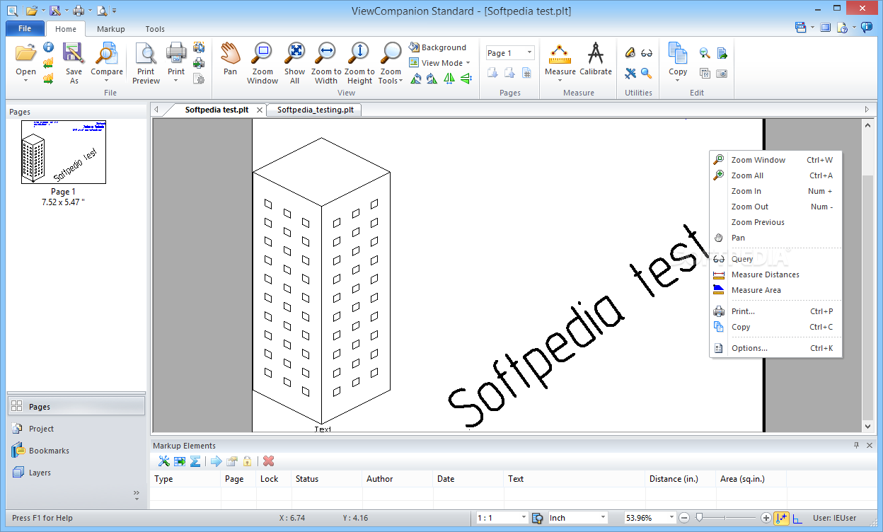
ViewCompanion Standard
Feature-rich tool for viewing and printing files created by CAD software, as well as for performing several operations, like format conversion, file publishing to PDF or DWF and movie creation What's new in ViewCompanion Standard 12.33: This update solves...
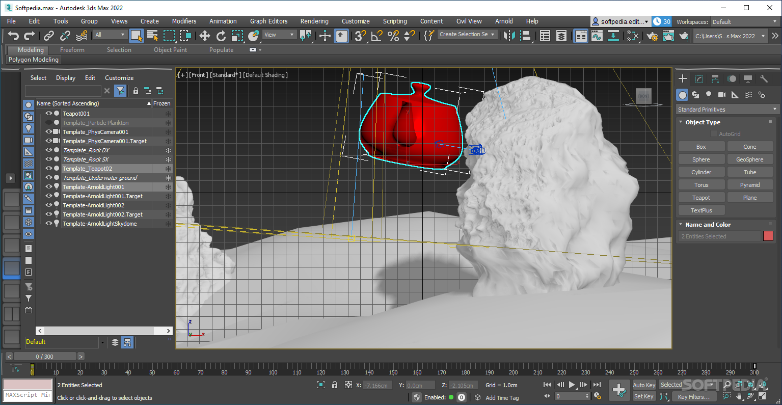
Autodesk 3ds Max
The world's most widely used professional 3D modeling software, providing a comprehensive set of tools to generate impressive scenes What's new in Autodesk 3ds Max 2021: Highlights: Bake to Texture: Modernized tools that support new physically based rendering (PBR)...
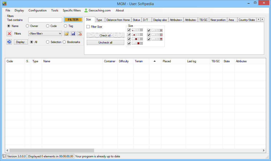
MyGeocachingManager
Plan trips using queries from the Geocaching.com website, import data from GPX files, display caches on Google maps, and export the selected locations to HTML or GPX file format What's new in MyGeocachingManager 4.0.6.2: Fixed login mechanism on GC.com...