Weather Station Data Logger Alternatives for Windows
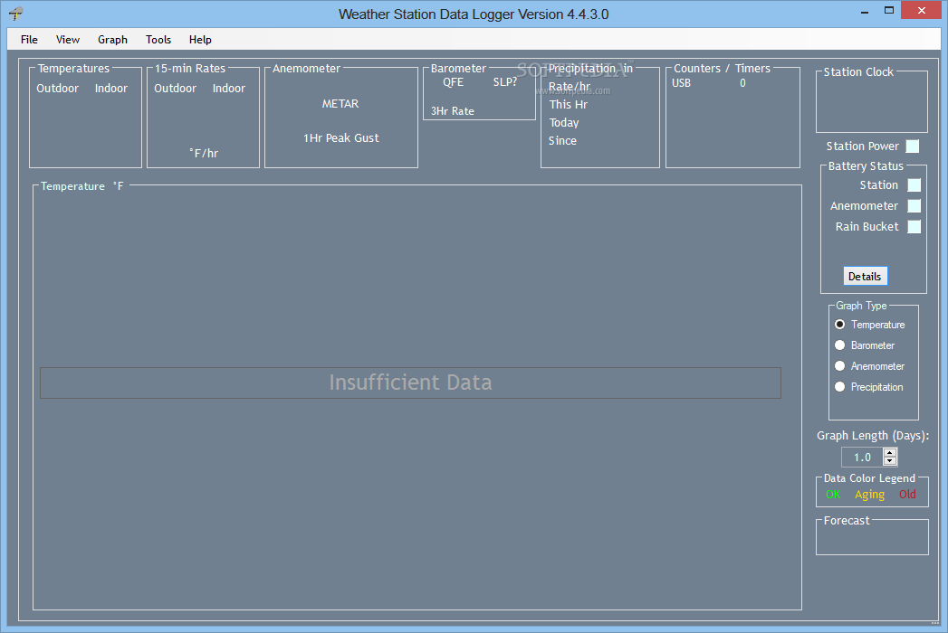
Do you want to find the best Weather Station Data Logger alternatives for Windows? We have listed 29 Science Cad that are similar to Weather Station Data Logger. Pick one from this list to be your new Weather Station Data Logger app on your computers. These apps are ranked by their popularity, so you can use any of the top alternatives to Weather Station Data Logger on your computers.
Top 29 Software Like Weather Station Data Logger - Best Picks for 2025
The best free and paid Weather Station Data Logger alternatives for windows according to actual users and industry experts. Choose one from 29 similar apps like Weather Station Data Logger 2025.
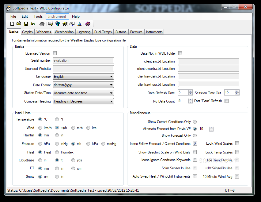
Weather Display Live
Display weather conditions on your website. What's new in Weather Display Live 6.08: Added further options to 12 month rainfall graph in WDL Configurator Added average rainfall option for 12 month rainfall graph Added new clientraw data to clientraw...
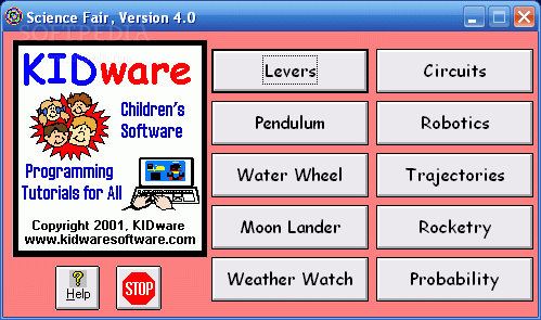
Science Fair
SCIENCE FAIR is a useful application that presents ten real-world applications of physics and math!SCIENCE FAIR is a useful application that presents ten real-world applications of physics and math! For kids aged 9 to 16.LEVERS teaches you about the...
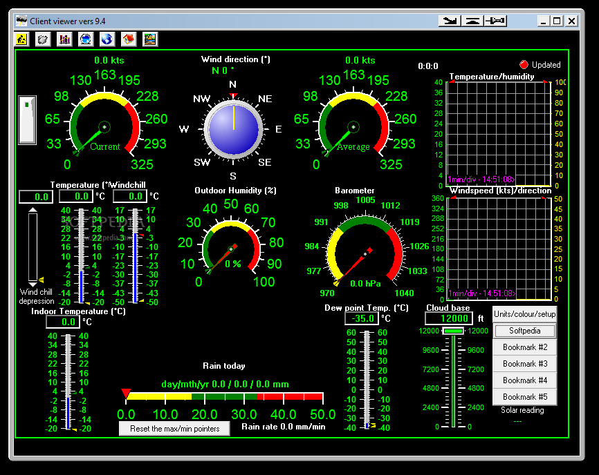
Client viewer
Get weather information about the current temperature, heat index, indoor temperature, rain rate, outdoor humidity, and wind direction with the aid of colorful indicatorsClient viewer is a small software application whose purpose is to help you get weather information...

ATMOGRAPH ModelVis
A professional and reliable application functioning as a weather model data and GRIB-format visualization and analysis tool for forecastersATMOGRAPH ModelVis is a complex yet user-friendly software solution created to serve the needs of meteorologists and all-around weather enthusiasts, by...
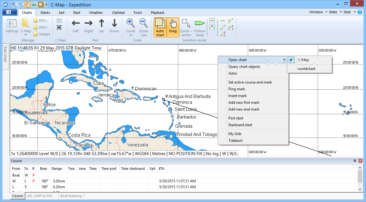
Expedition
Plan routes for yacht navigation and racing with this comprehensive tool, that takes weather conditions into consideration to plot optimal courses What's new in Expedition 11.1.2: Support XTide .tcd data. This includes additional Puget Sound data. Support custom PASHR...
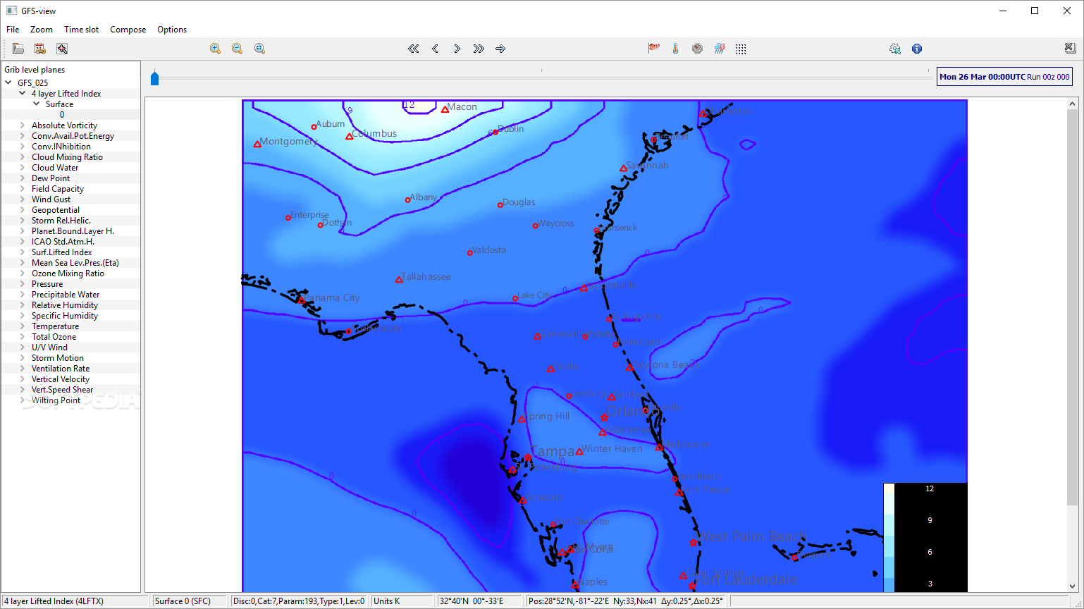
GFS-view
Get accurate weather forecast readings from NCEP centers and generate comprehensive maps with the help of this useful applicationGFS-viewis a lightweight piece of software that helps you create comprehensive weather forecast maps using data from National Centers for Environmental...
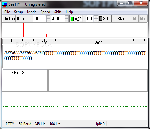
SeaTTY
A program to receive weather reports, weather charts and navigational warnings What's new in SeaTTY 2.50: The “Setup / Text / Add this comment to saved text files: ...” option was made. Read the full changelog SeaTTY is...
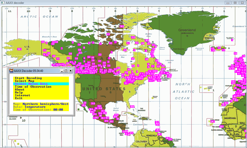
AAXX Decoder
Creates automatically thousands of weather reports.AAXX Decoder is a small but powerful tool capable of plotting all kind of weather info.
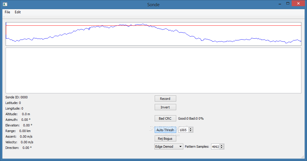
Sonde
A simple application that can interpret the sound files recorded by the Mark IIa Radiosonde used by the National Weather ServiceSonde is a useful tool for the users who need to decode the transmissions sent be the radio locators...
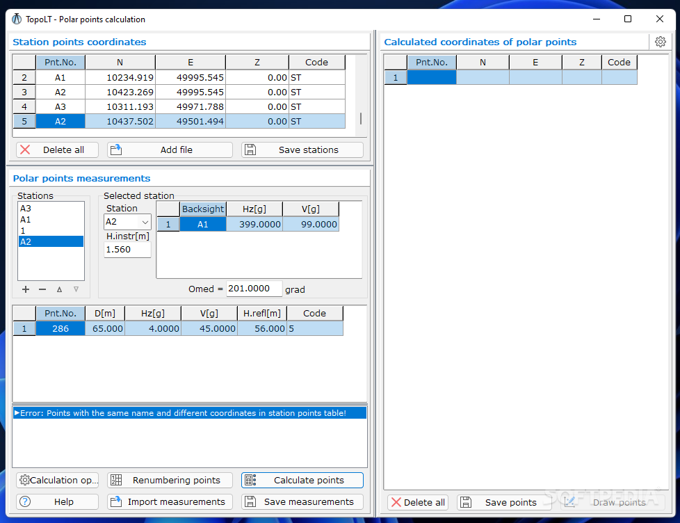
TopoLT
A compact application that helps users create topographical or cadastral plans, while offering support for AutoCAD or other CAD platforms What's new in TopoLT 12.0.0.6: Starting with this version, the program works with Unicode characters, and the 64-bit version...
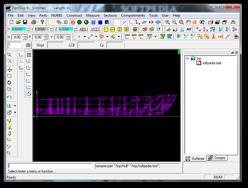
FastShip
Design boat components with this application. What's new in FastShip 6.1.30: Hydrostatics Defaults changed to correspond more with US definitions and standards. Hydrostatics output labels changed to agree with ATTC definitions; this will mostly be transparent to users, other...
Aeskulap
View DICOM images in full screen, study, filter and look up patient information, as well as manage server lists and modality presetsDesigned for medical specialists, Aeskulap enables you to view DICOM image files and look up patient information. It's...
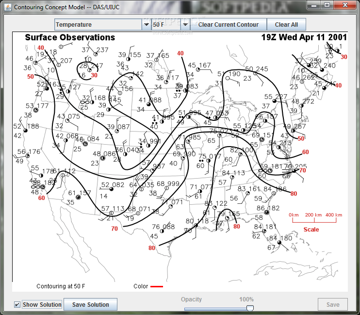
Contouring Concept Model
Draw isobars or isotherms on a U.S. map of station observationsThe Contour program allows students to interactively contour maps and compare their analysis to a provided solution. The application provides opportunity for multiple exercises. In this program, students can...

Subway simulation
Java simulation of a subway carSubway simulation is a simple and accessible Java-based software that simulates a subway car traveling from station to station.At each stop, the doors open and close. You can click on a button to make...

Autodesk InfraWorks
Speed the civil infrastructure design process by exploring the context of the model so you can create a conceptual design close to the real-world requirementsAutodesk InfraWorks is a specialized tool designed to come to the aid of Building Information...
Civil Profiler
This package will enable you to enhance the functionality of AutoCAD.Civil Profiler is an AutoCAD add-on, which can be used by architects and civil engineers. The program brings additional features in AutoCAD.You can use this software to perform quantities...
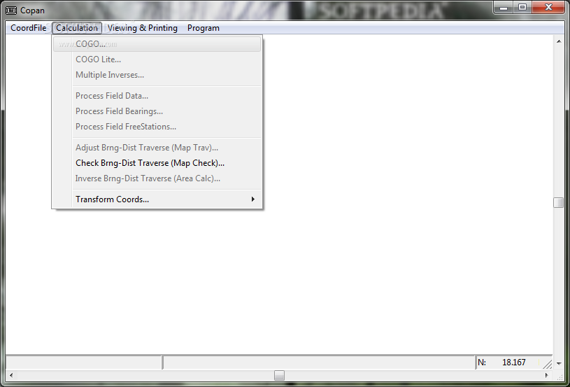
Copan
Free coordinate geometry (COGO) tool for field surveyors and map drafters. What's new in Copan 11.01: General Improvements: Many a dialog that refers to an output file or to a codes table now has an Open button alongside the...
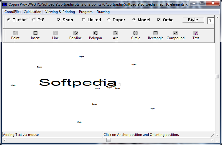
Copan Pro+DWG
Compute and manage land survey coordinates and draft DWG survey maps and plans.Copan Pro+DWG is a very functional and easy-to-use desktop/netbook geomatics engineering tool for computing and managing plane land surveying and mapping coordinates, and drafting survey maps and...
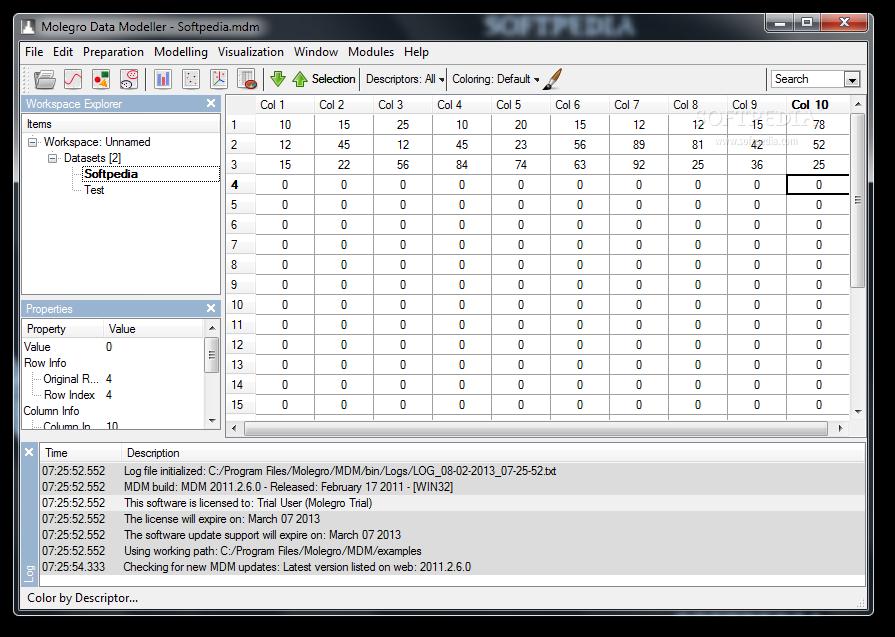
Molegro Data Modeller
Analyze and visualize your data with this tool.Molegro Data Modeller is a powerful solution for data modelling and visualization. It can handle multiple types of information and provides you with the tools required to analyze the data.The interface is...
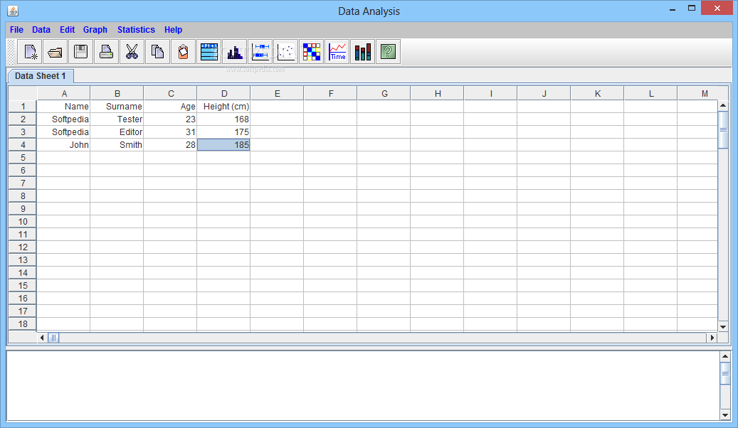
Data Analysis
Software solution that enables you to calculate multiple indices and generate graphs in order to analyze a set of information, data can be analyzed in an organized in a tabular formatThere are many applications and programs on the Internet...
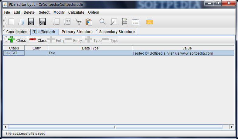
Protein Data Bank Editor
Create complex protein databanks or edit existing ones in a simple environment packed with tools that are specially built to target atoms, structures and elementsAdvancements in technology have a considerable impact on day to day activities, as well as...
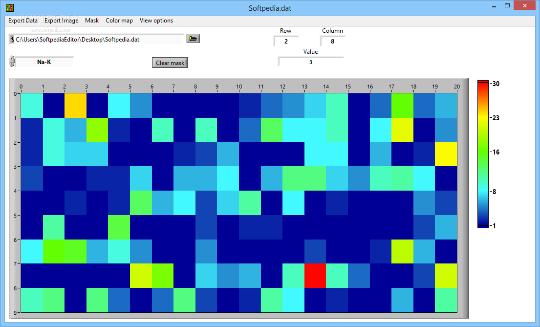
Data Imaging 3D
A simplistic application that enables you to open and view the content of batch result files generated by LabVIEW, with exporting and editing capabilitiesData Imaging 3D enables you to view PIXE matrix data generated by the LabVIEW diagram creating...
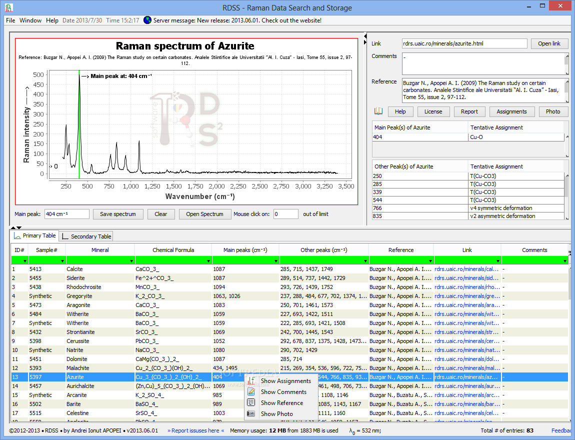
Raman Data Search and Storage
Manage Raman data fast and easy when it comes to minerals, their spectra, peak assignments, and various other information, as well as export graphs to filesRaman Data Search and Storage is a Java-based software application developed to help you...
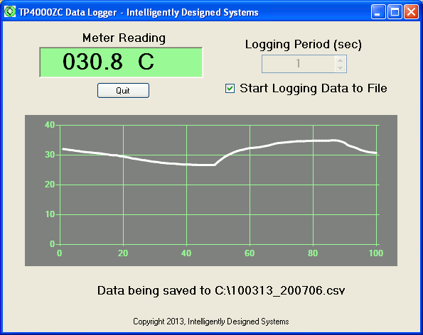
TP4000ZC Data Logger
An application that logs data from a TekPower TP4000ZC multimeter connected to a RS-232 port, with real-time graphs of the incoming signalsTP4000ZC Data Logger is a handy and reliable program designed to interpret data from TekPower TP4000ZC multimeters.TP4000ZC Data...
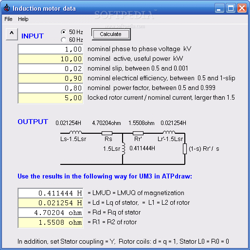
Induction Motor Data
Induction Motor Data calculates the inductances and resistancesInduction Motor Data calculates the inductances and resistances of the (well known) equivalent circuit of the induction motor from the "name-plate" parameters.These are the nominal voltage and power, the nominal slip, electrical...
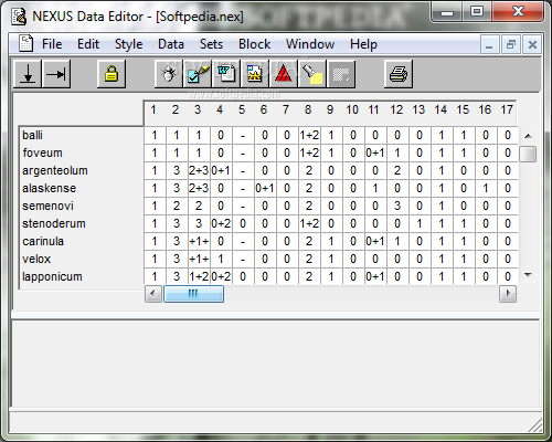
NEXUS Data Editor
Create NEXUS files with this application.NEXUS Data Editor is a handy, simple, easy to use tool specially designed to help you create and edit NEXUS format data files.
Partector data analysis tool
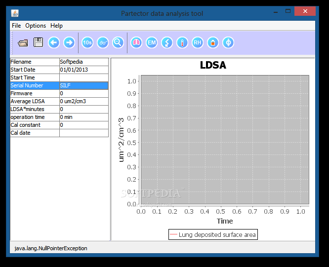
View partector files with easePartector data analysis tool is a handy, small, and easy-to-use piece of software that allows you to view all the info included in your partector files.Partector data analysis tool is a Java-based lightweight software that...
Vutog GPS Simulator
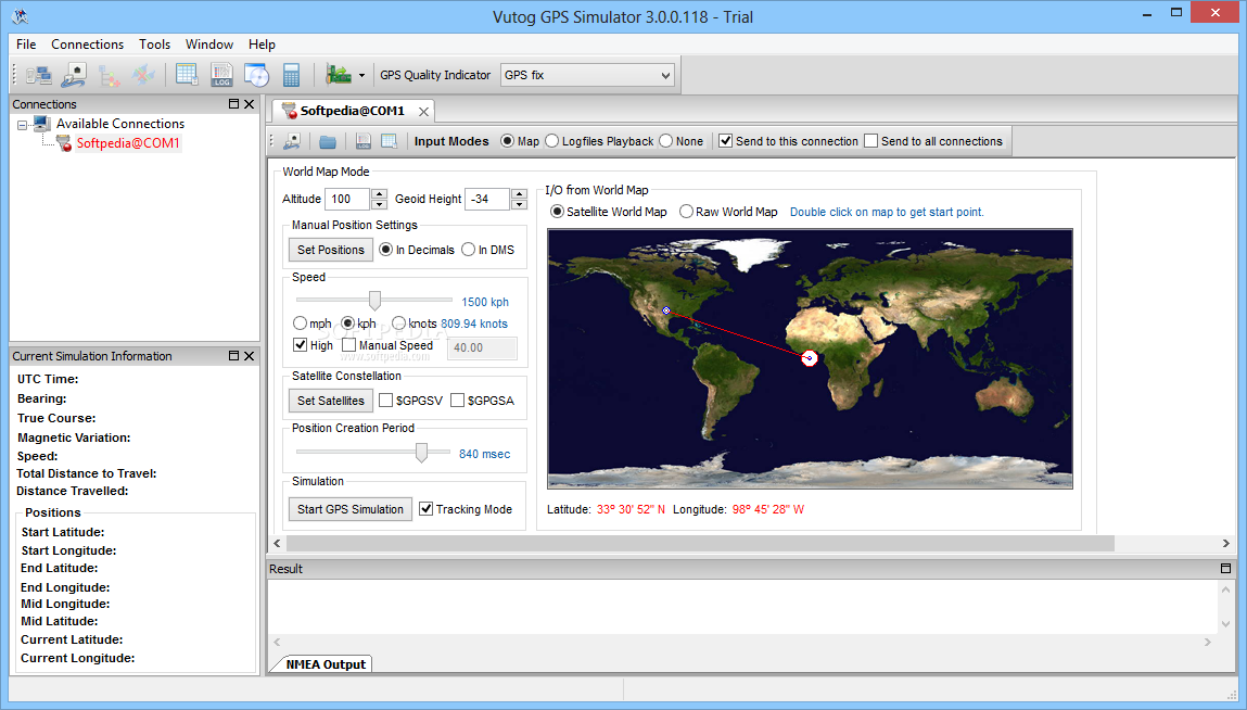
Using this straightforward utility you can simulate GPS connections so you can easily develop, test or debug your applications and equipment What's new in Vutog GPS Simulator 4.0.0.100: New incorporation: HTTP Connection support. NMEA Forward Input Mode . NMEA...