AEC Terrain Alternatives for Windows
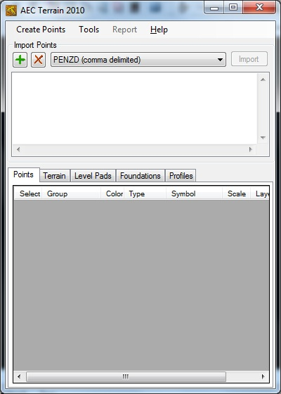
Do you want to find the best AEC Terrain alternatives for Windows? We have listed 19 Science Cad that are similar to AEC Terrain. Pick one from this list to be your new AEC Terrain app on your computers. These apps are ranked by their popularity, so you can use any of the top alternatives to AEC Terrain on your computers.
Top 19 Software Like AEC Terrain - Best Picks for 2026
The best free and paid AEC Terrain alternatives for windows according to actual users and industry experts. Choose one from 19 similar apps like AEC Terrain 2026.
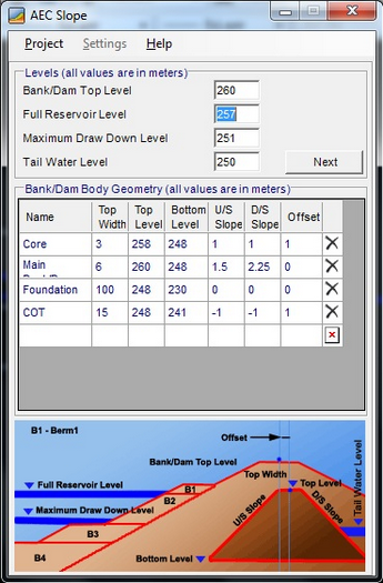
AEC Slope
A practical and reliable application that helps you to analyze the stability of various slopes such as dams and roads in different conditionsAEC Slope seamlessly integrates within AutoCAD and enables you to quickly analyze roads, railways, canal embankments and...
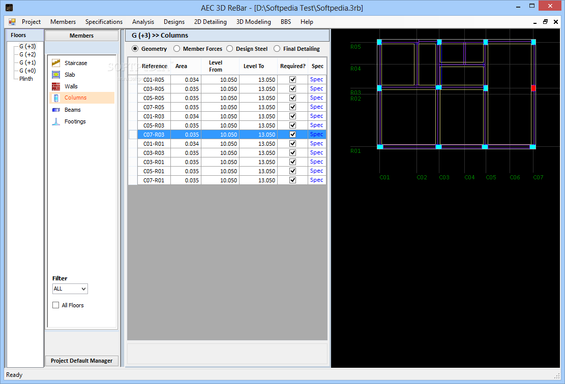
AEC 3D ReBar
A reliable and useful 3D bar bending scheduler that precisely places your reinforcement bars with the global coordinates of your wall structuresIntegrating with AutoCAD and STAAD Pro, AEC 3D Rebar is a comprehensive software utility dedicated to civil engineering...
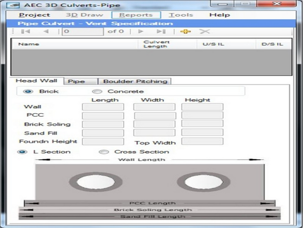
AEC 3D Culverts-Pipe
A useful and effective AutoCAD plugin worth having when you need to quickly design and analyze drainage structures for highway projectsAEC 3D Culverts-Pipe is a practical and reliable plugin that seamlessly integrates within AutoCAD and enables you to design pipe...
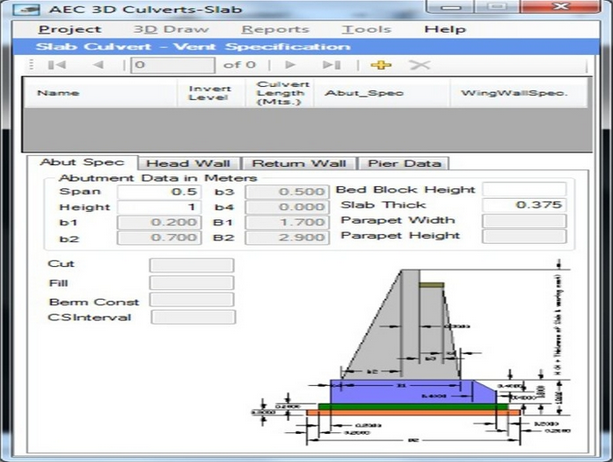
AEC 3D Culverts-Slab
A useful, reliable and effective AutoCAD plugin worth having when you need to plan, design, analyze and create 3D / 2D slab drawingsAEC 3D Culverts-Slab is a practical and useful plugin that seamlessly integrates within AutoCAD and enables you to...
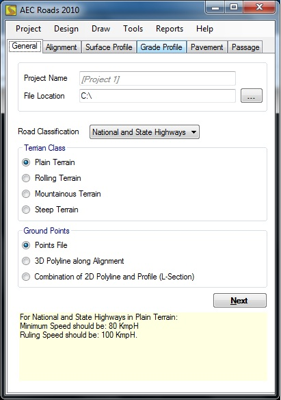
AEC Roads
A useful and reliable AutoCAD plugin especially intended for engineers who need to get accurate and interactive 3D road drawingsAEC Roads is a comprehensive and practical quantity estimation and drawing application worth having when you need to easily prepare...
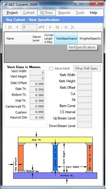
AEC 3D Culverts-Box
A useful, reliable and effective AutoCAD plugin worth having when you need to plan, analyze and create 3D / 2D highway and bridge drawingsAEC 3D Culverts-Box is a practical and reliable utility that comes in handy for civil engineers...

AEC Buildings
A useful and reliable AutoCAD plugin especially intended for engineers who need to get accurate and interactive 3D building plansAEC Buildings is a practical and useful application specially designed for engineers, architects and other suppliers who need to design...

DOBT
Autocad extension for setting the draworderDOBT is an Autocad plugin designed to enable you to set the draworder by object type and by layer. The DOBT utility (command) automatically sets draworder of drawing objects according to the predefined order from...

Revizto
Share and collaborate on AEC-specific projects with the help of this modern-looking and feature-packed utility that allows you to turn your CAD models into navigable 3D environmentsStill in its infancy, virtual reality is one of the most immersive and...
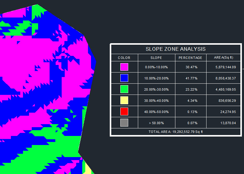
CAD-Earth
Easily export / import CAD screenshots, objects, maps and terrain meshes between Google Earth and major CAD programs and create dynamic contour profiles What's new in CAD-Earth 3.0.2: Import Google Earth image to CAD Export CAD screenshot to Google...

InnerSoft CAD for AutoCAD
AutoCAD plugin that facilitates fast data exporting to Excel and features tools for performing measurements in CAD-based projectsInnerSoft CAD for AutoCAD is a plugin for AutoCAD that aims to ease the process of manually exporting data from the popular...

DTM
Digital Terrain Model application for AutoCADDTM is a handy Autocad extension designed to create 3D faces TIN model from 3D points.The DTM utility offers 7 commands: DTM, DTMVOL, DTMZ, DTMFLOW, DTMPPT, DTMMESH and DTMRND.System requirementsAutocad
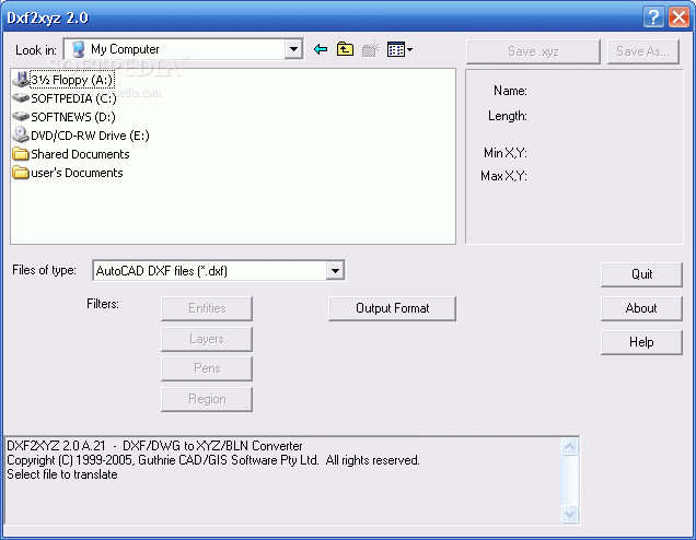
Dxf2xyz
DXF2XYZ 2.0 converts a DXF file to an XYZ file, ie a comma delimited text file containing just xyz coordinatesDxf2xyz is a simple-to-use tool that allows you to turn AutoCAD files (DXF and DWG) into the XYZ and BLN...
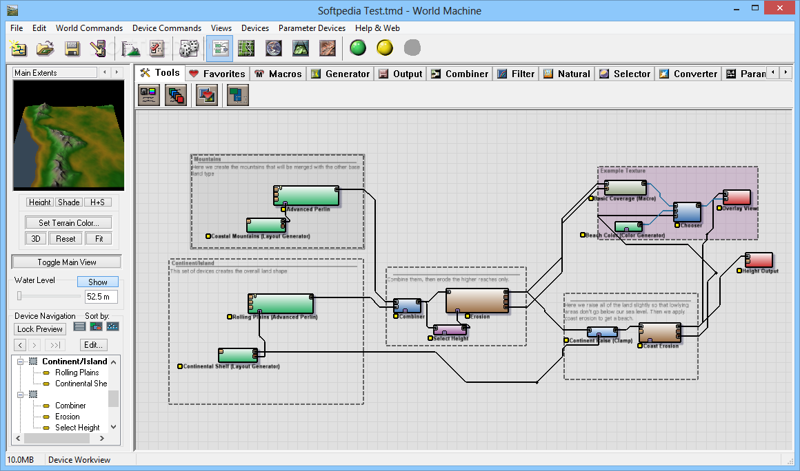
World Machine Basic Edition
A handy and unique procedural terrain generator that helps you create virtual worlds by using various effects to simulate a natural environment What's new in World Machine Basic Edition 2.3.7.0: Multithreading support for expander, voronoi, bias/gain, and terrace Fix...
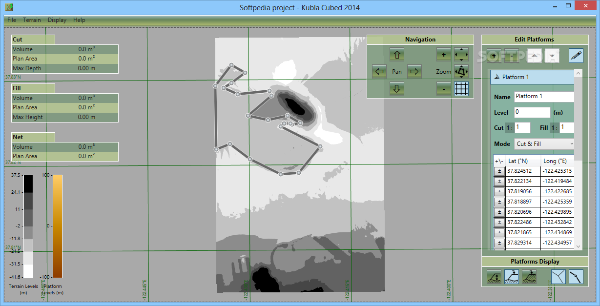
Kubla Cubed
Quickly and accurately estimate earthworks cut quantities or fill volumes for selected areas using this straightforward software solutionKubla Cubed is a simple to use application which allows you to calculate and visualize earthworks cut parameters or fill volumes. The...
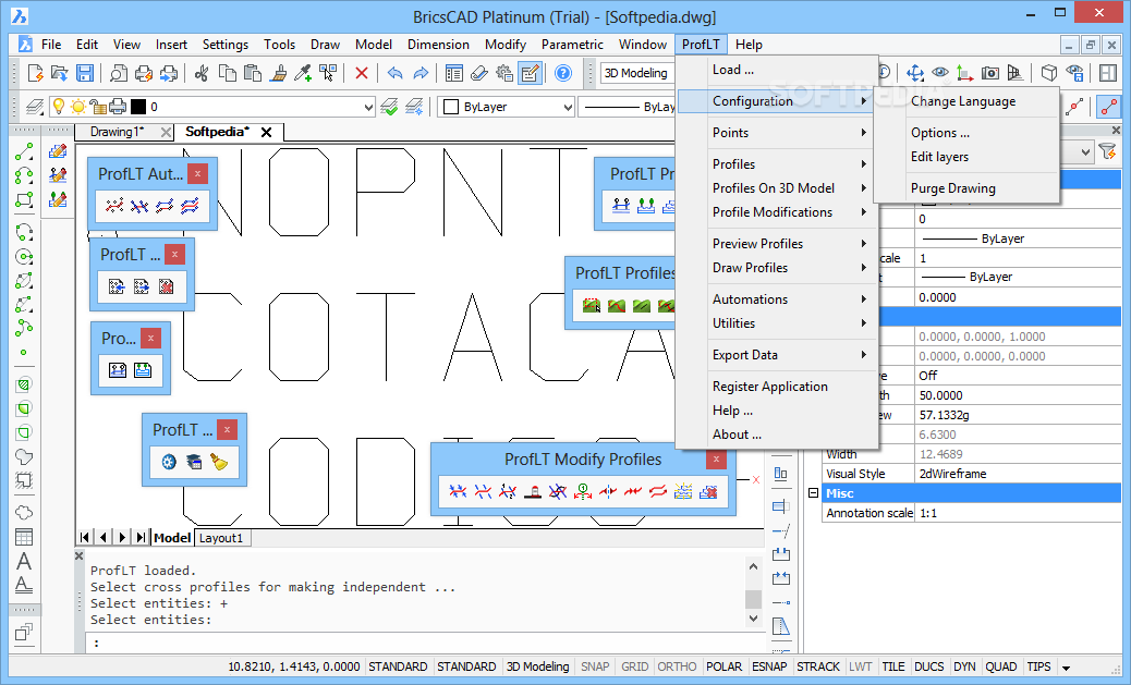
ProfLT
Compatible with multiple AutoCAD and IntelliCAD applications, this addin can help you create longitudinal profiles and cross sections for your design What's new in ProfLT 12.0.0.0: Starting with this version, the program works with Unicode characters, and the 64-bit...
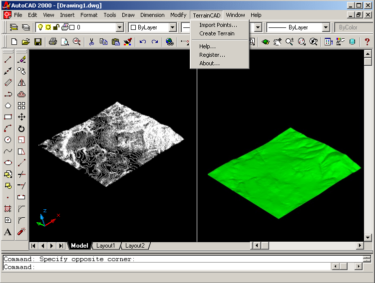
TerrainCAD for AutoCAD
This plug-in gives AutoCAD the ability to create a terrain mesh from a set of unordered points, lines and polylines.TerrainCAD for AutoCAD is a terrain modeling plug-in for AutoCAD. Thanks to it you will have the possibility to create...
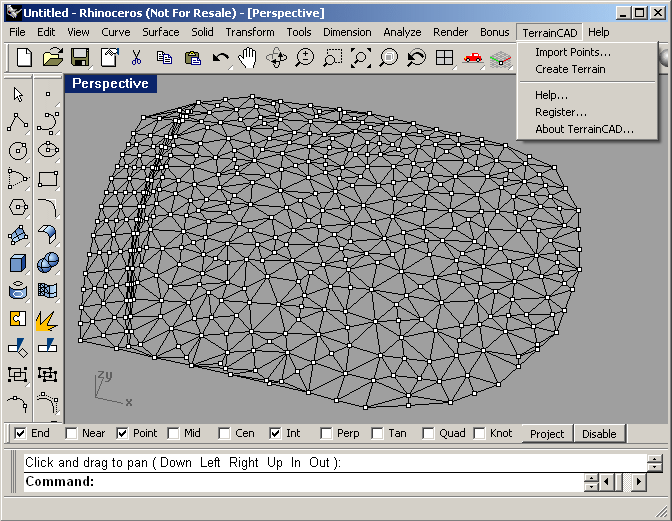
TerrainCAD for Rhino
Create a terrain mesh from a set of unordered points, lines and polylines.TerrainCAD for Rhino is a terrain modeling plug-in for Rhinoceros 3.0 and 4.0. Thanks to it you will have the possibility to create a terrain mesh from...