CAD-Earth Alternatives for Windows
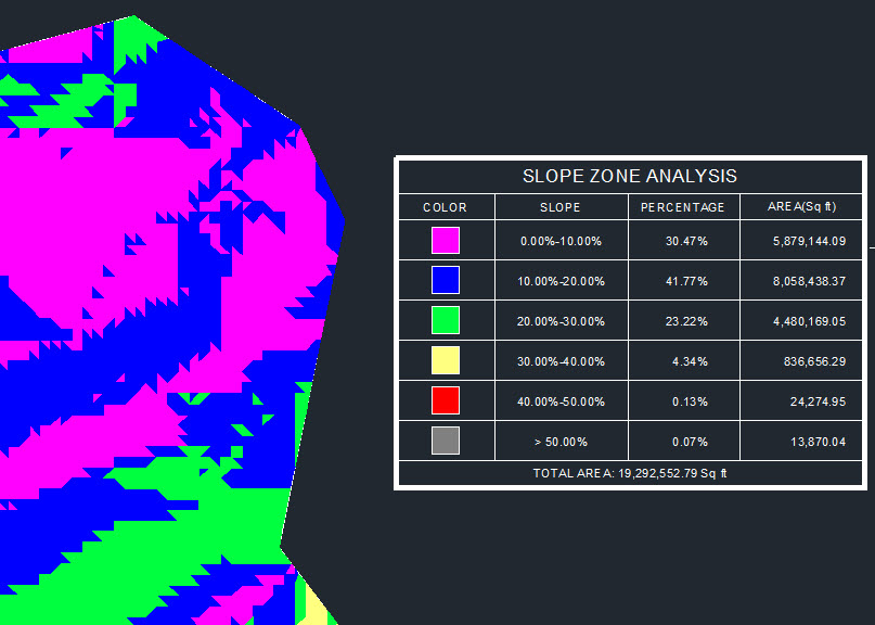
Do you want to find the best CAD-Earth alternatives for Windows? We have listed 19 Science Cad that are similar to CAD-Earth. Pick one from this list to be your new CAD-Earth app on your computers. These apps are ranked by their popularity, so you can use any of the top alternatives to CAD-Earth on your computers.
Top 19 Software Like CAD-Earth - Best Picks for 2026
The best free and paid CAD-Earth alternatives for windows according to actual users and industry experts. Choose one from 19 similar apps like CAD-Earth 2026.
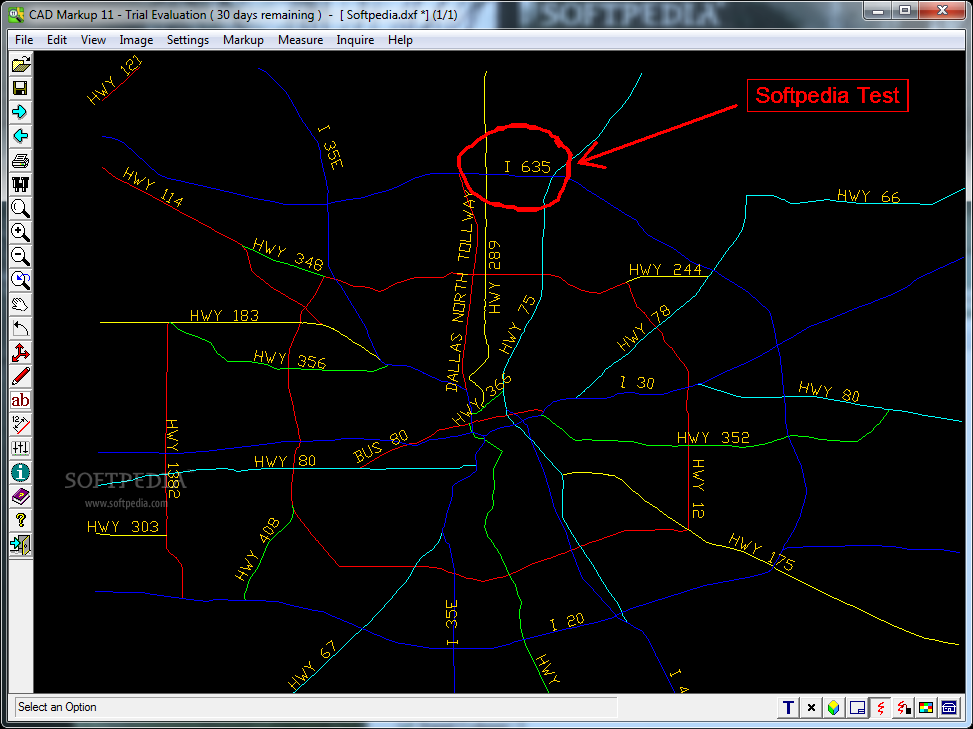
CAD Markup
Allows you to annotate CAD files and export them to image files.CAD Markup is a useful application for the engineers and users who need to make annotations on CAD files. The program can open both vector and raster file...
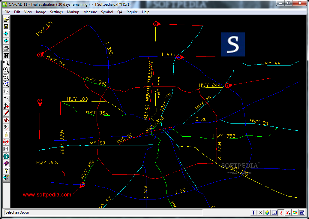
QA-CAD
A CAD editor that allows you to add QA stamps to your files.SymbolCAD is a useful program designed to enhance your documents with numbered stamps and markup notes. The program also includes the ability to create symbol collections of...
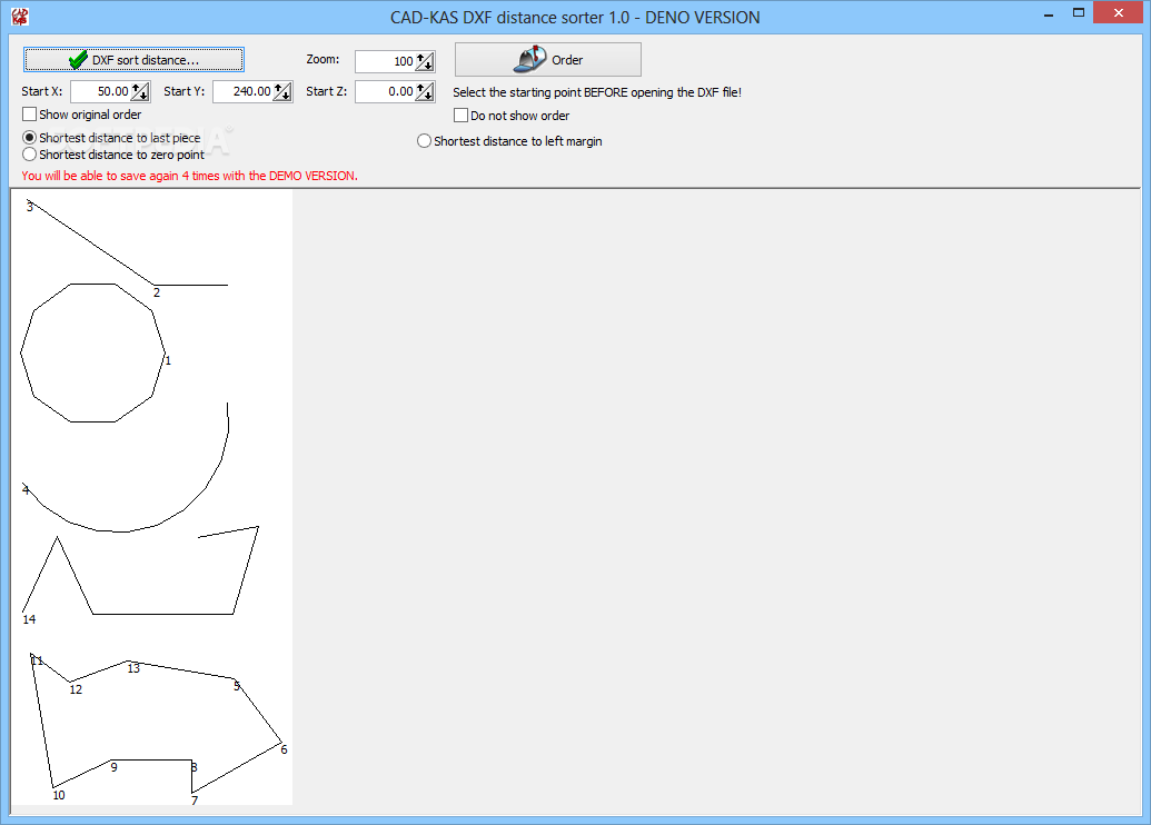
CAD-KAS DXF distance sorter
A simple to use application that enables you to optimize the process of cutting or engraving boards, by reconfiguring the DXF filesCAD-KAS DXF distance sorter is a simple to use application that enables you to reconfigure DXF files, especially...
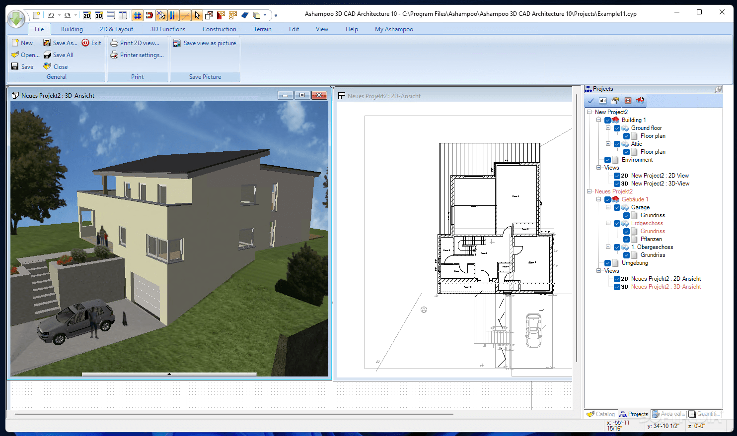
Ashampoo 3D CAD Architecture
An extensive CAD software solution for exact and realistic planning of construction projects, so that users can preview their designs before implementing them What's new in Ashampoo 3D CAD Architecture 7.0.0: Product overview: New 3D objects More than 350...
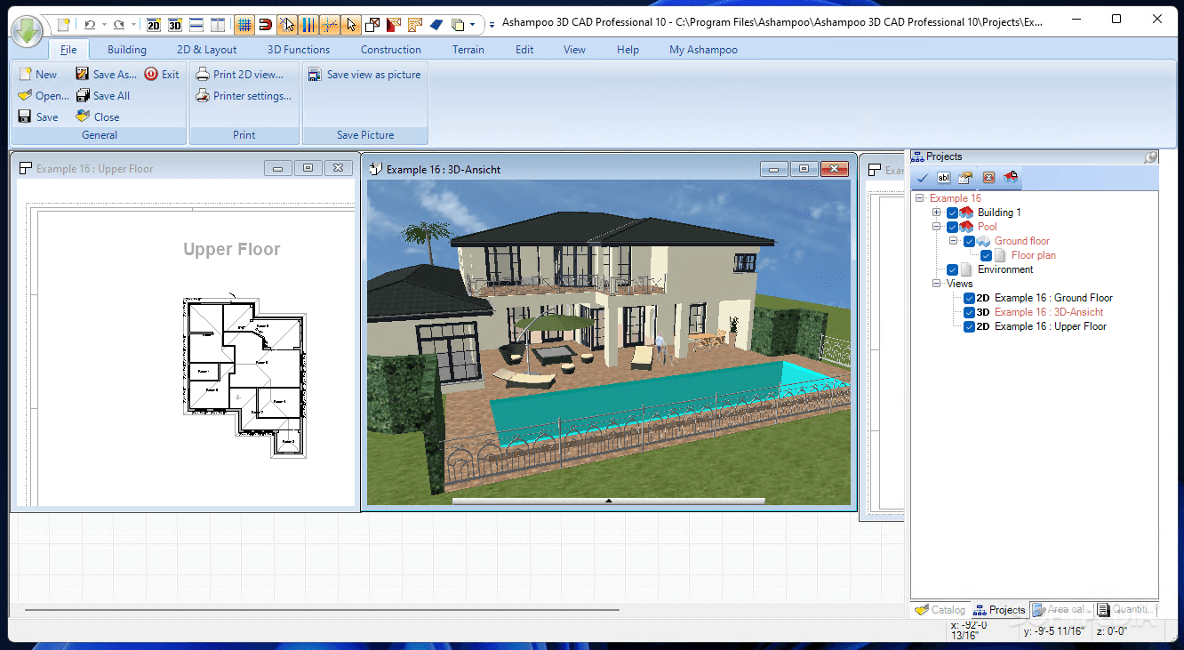
Ashampoo 3D CAD Professional
Build and edit both 2D and 3D objects, with this comprehensive CAD utility that is suitable for professional architects and engineers What's new in Ashampoo 3D CAD Professional 7.0.0: Product overview: New 3D objects More than 350 new 2D...
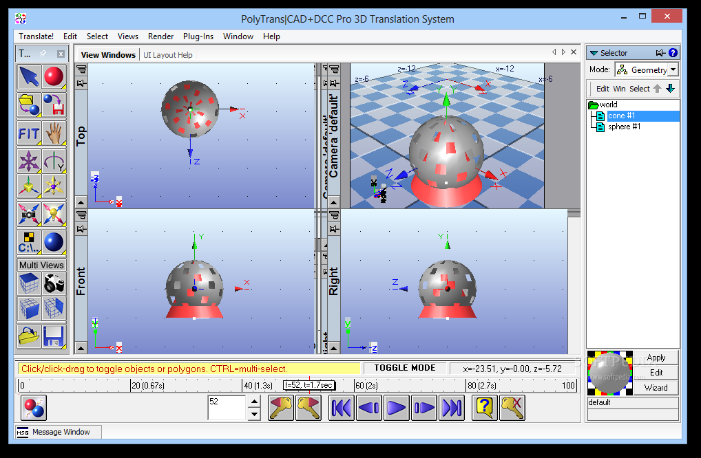
PolyTrans|CAD+DCC Pro 3D Translation System
Comprehensive app for translating CAD files, featuring extensive file type support, manipulation tools, editing options for scenes and objects, and moreGeared toward professionals,PolyTrans|CAD+DCC Pro 3D Translation System is a comprehensive software solution designed to help you translate CAD files.It...
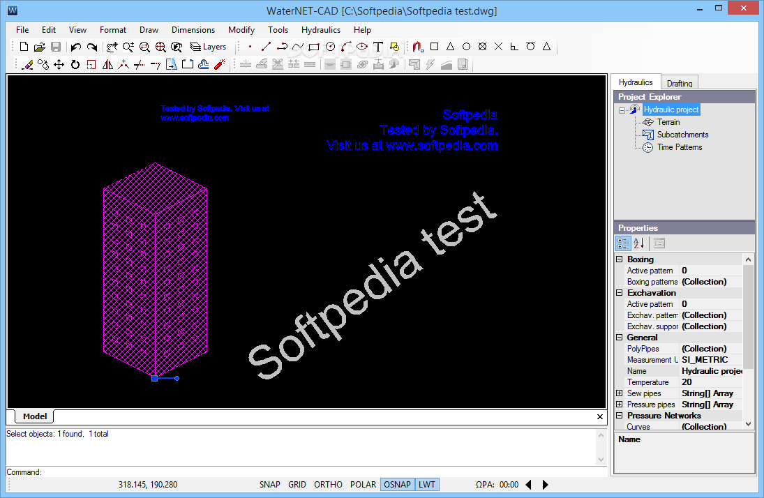
WaterNET-CAD
This complex professional application was developed to help you create pipe network designs for sewer, vacuum sewer or water distributionWaterNET-CAD is an advanced and reliable software solution whose main function resides in offering you the ability to design complex...
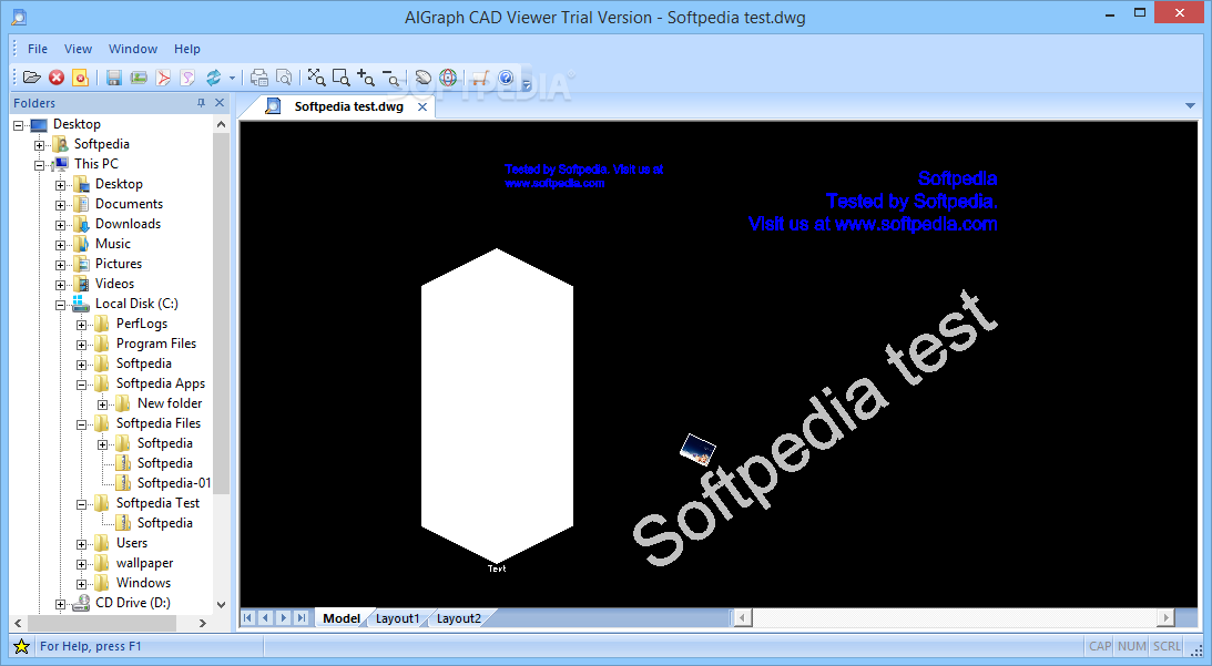
AIGraph CAD Viewer
A simple and easy to use application whose main purpose is to help you view CAD files as well as convert them to various other formatsNote:This software solution is no longer available for purchase but users can still download...
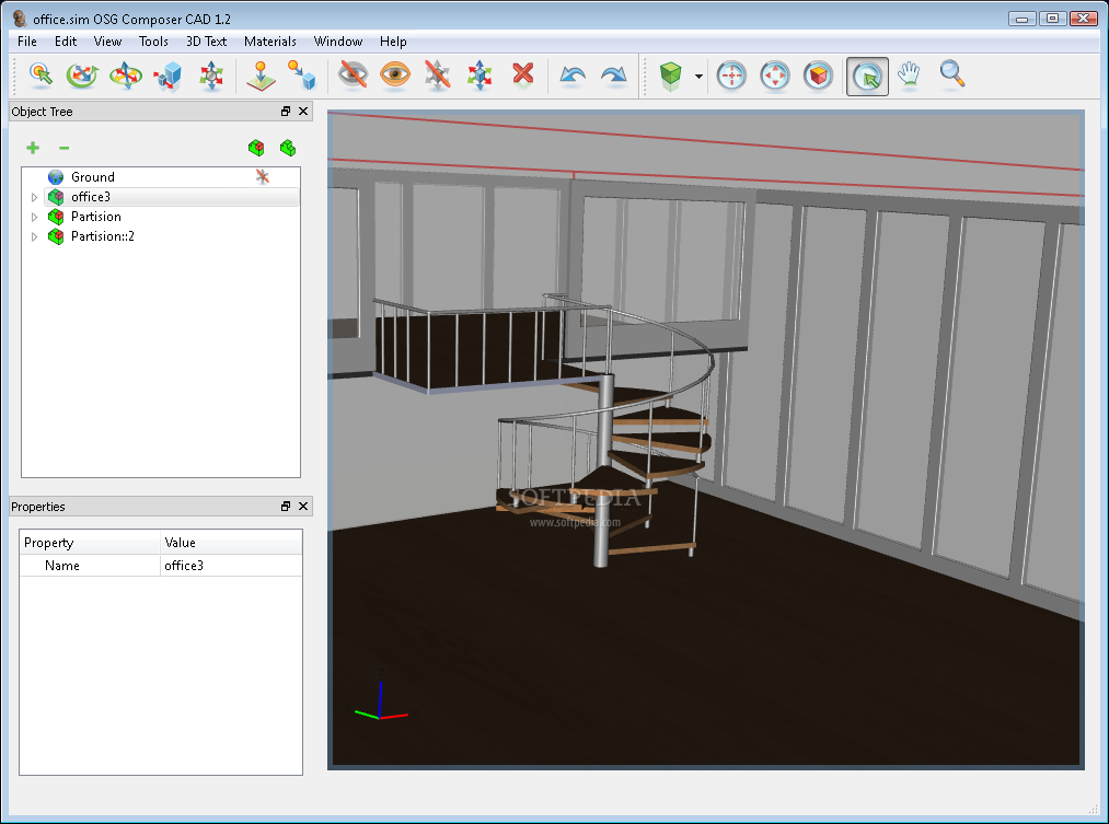
OSG Composer CAD
A tool that facilitates the creation of advanced 3D scenesOSG Composer is powerful yet easy software, used for building 3D scenes. OSG Composer is designed to be very easy to use, with a short learning curve, without limiting user...
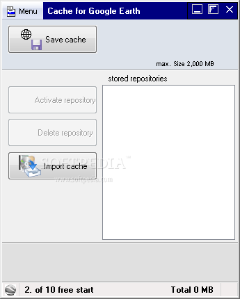
Cache for Google Earth
Cache manager to use Google-Earth in offline modeMay I use "Google Earth" even without internet? YES: Without internet "Google Earth" cannot load new maps, but the former visited maps stay in the computer. "Google Earth" remembers images and maps...
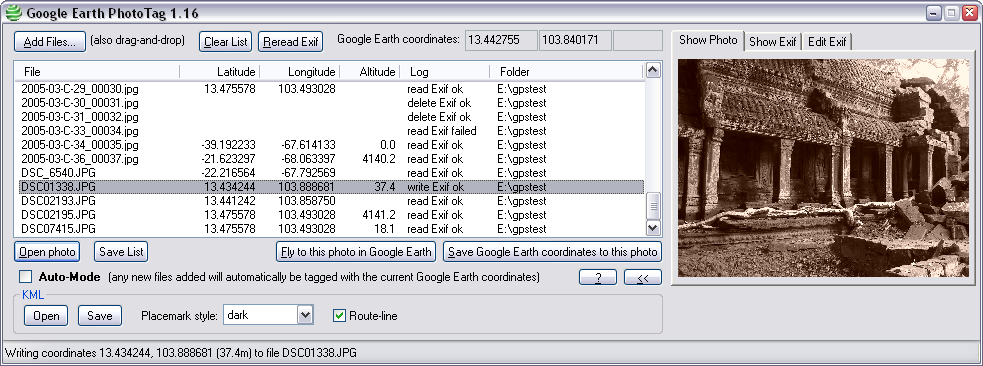
Google Earth PhotoTag
Manage EXIF data and location coordinates, add Exif GPS data to JPEG pictures and read coordinates from the Google Earth applicationGoogle Earth PhotoTag is a neat software solution that allows you to add exif data to pictures on your...
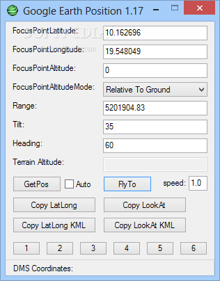
Google Earth Position
A reliable and efficient software program that you can use to quickly read coordinates from Google Earth and save the information to the clipboard What's new in Google Earth Position 1.17: Better status bar messages, Alt-1-6 hotkeys, Click-window-to-drag ...

Plex.Earth Tools for AutoCAD
A powerful plugin for AutoCAD that was created to provide designers with a tool for inserting aerial imagery into their projectsMany design professionals are inclined to use the more powerful tools available on the market because these are most...
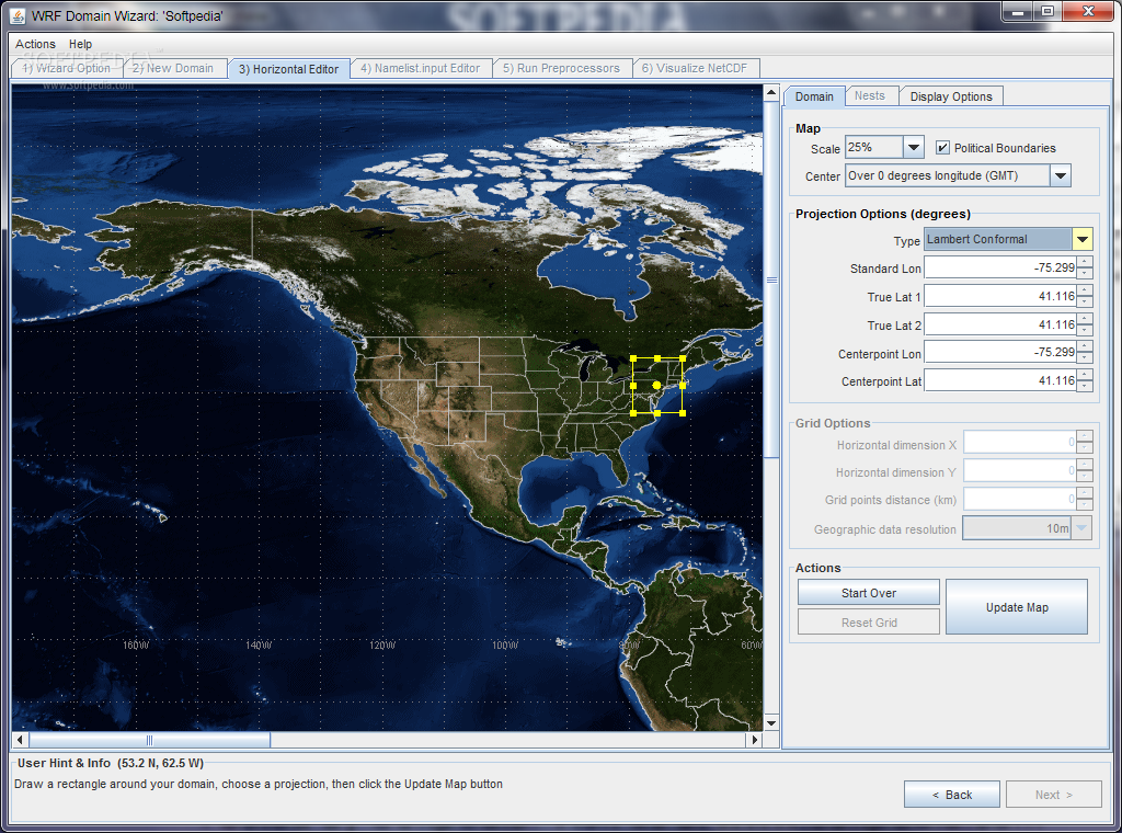
WRF Domain Wizard
Define and localize domains by selecting a region from Earth and select its map projection What's new in WRF Domain Wizard 1.43: Added additional display support files for Panoply viewer (color tables and map overlays) Read the full...
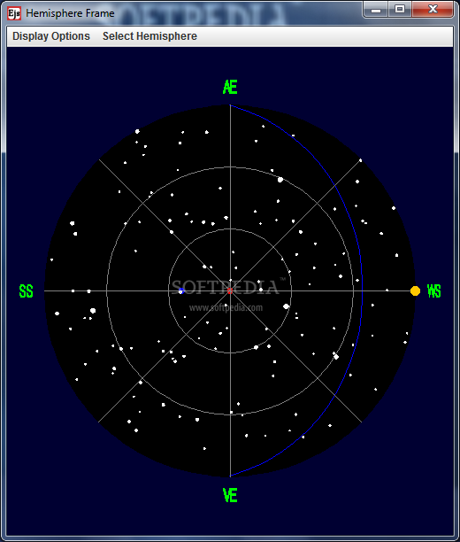
Equinox Precession Model
Earth orbit simulation to help you with your studies.Equinox Precession Model is a handy, Java based application designed to illustrate the Copernican theory of Earth's orbit around the sun.The top window shows a view from outside the celestial sphere....

Geomatica
Remote sensing application for analyzing earth observation data, making adjustments, and preparing maps for Illustrator or Google EarthDeveloper by PCI Geomatics, Geomaticais an analysis application dedicated to earth observation data. It enables professionals and enthusiasts alike to open satellite...
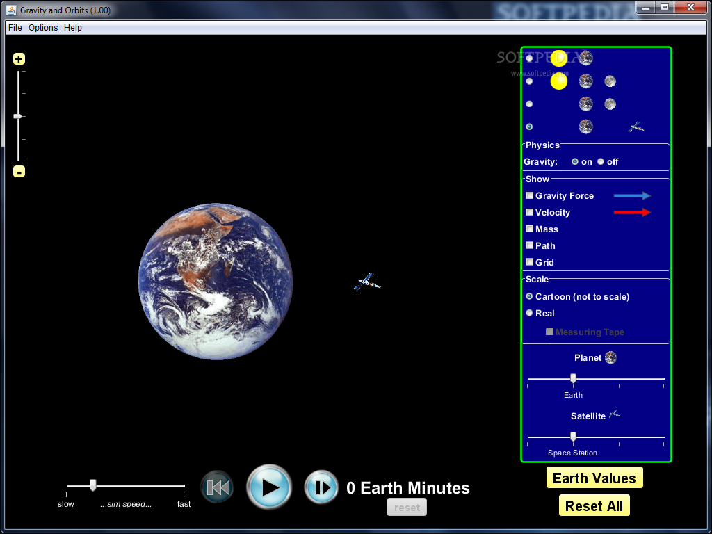
Gravity and Orbits
Get to know the basics behind gravity and orbits with a couple of simulations for visual support or technical details in a fun, interactive environmentThe evolution of technology made it possible for the computer to become a multifunctional tool...
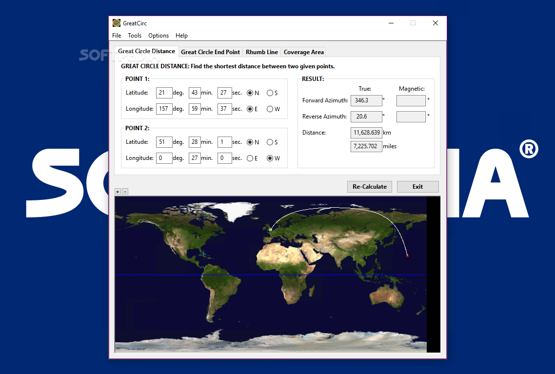
GreatCirc
An application that uses the standard ellipsoid Earth model found in GPS receivers and it allows you to calculate the distances between two points on Earth with great accuracyGreatCircis a software application that can be used in order to...