GPS Utility Alternatives for Windows
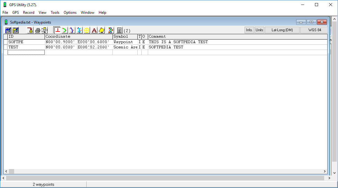
Do you want to find the best GPS Utility alternatives for Windows? We have listed 18 Science Cad that are similar to GPS Utility. Pick one from this list to be your new GPS Utility app on your computers. These apps are ranked by their popularity, so you can use any of the top alternatives to GPS Utility on your computers.
Top 18 Software Like GPS Utility - Best Picks for 2025
The best free and paid GPS Utility alternatives for windows according to actual users and industry experts. Choose one from 18 similar apps like GPS Utility 2025.
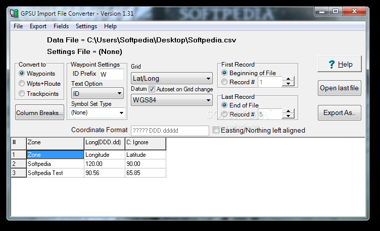
GPS Utility Import File Converter
Convert GPS files into TXT or CSV format by processing waypoints, trackpoints, or waypoints and routes to prepare them for GPS Utility What's new in GPS Utility Import File Converter 1.36: Recent changes: Remove double quotes from data in...
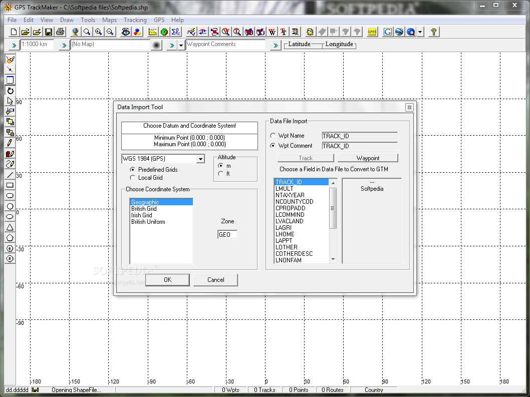
GPS TrackMaker
A comprehensive software solution that you can easily use to plot courses, edit waypoints and tracklogs in a simple and fast mannerGPS TrackMaker is an application that you can use to create and transfer waypoints, tracklogs and routes using...
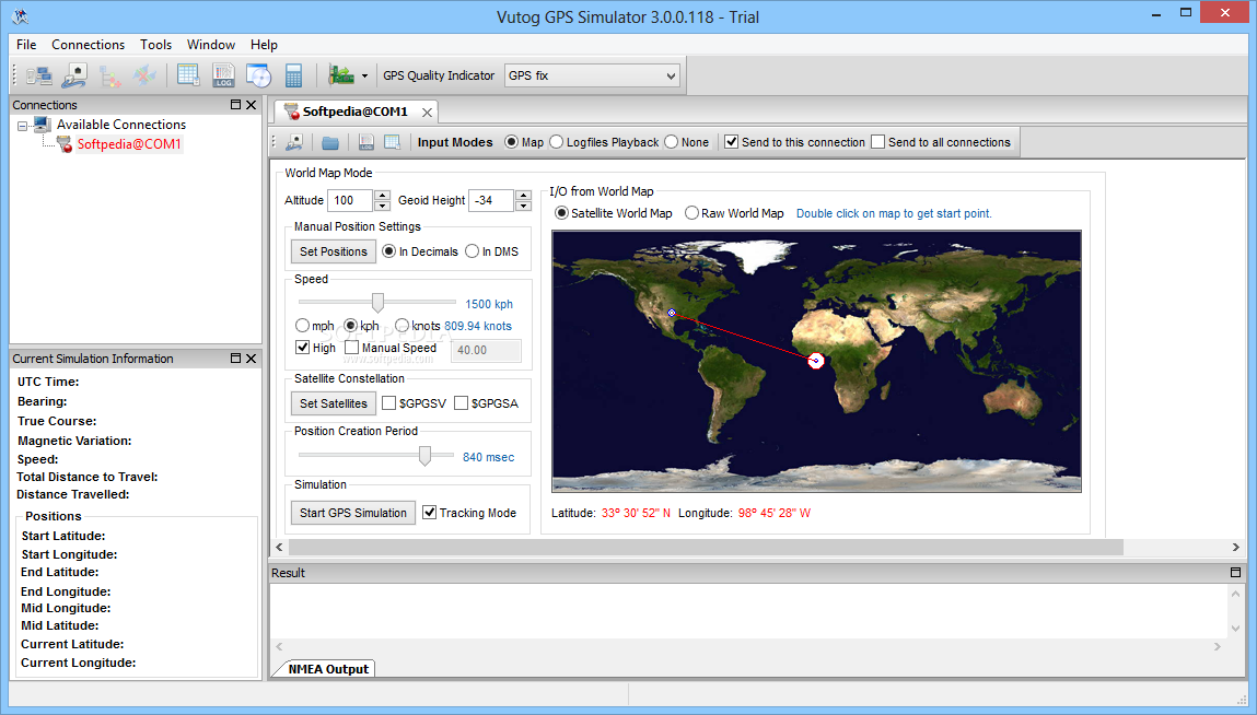
Vutog GPS Simulator
Using this straightforward utility you can simulate GPS connections so you can easily develop, test or debug your applications and equipment What's new in Vutog GPS Simulator 4.0.0.100: New incorporation: HTTP Connection support. NMEA Forward Input Mode . NMEA...
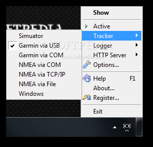
GPS Relay
Communicate GPS data to multiple computers and devices. What's new in GPS Relay 1.2.7: Memory leak in LocationAPI tracker Web root should be configurable Read the full changelog GPS Relay is a practical application that allows you to...
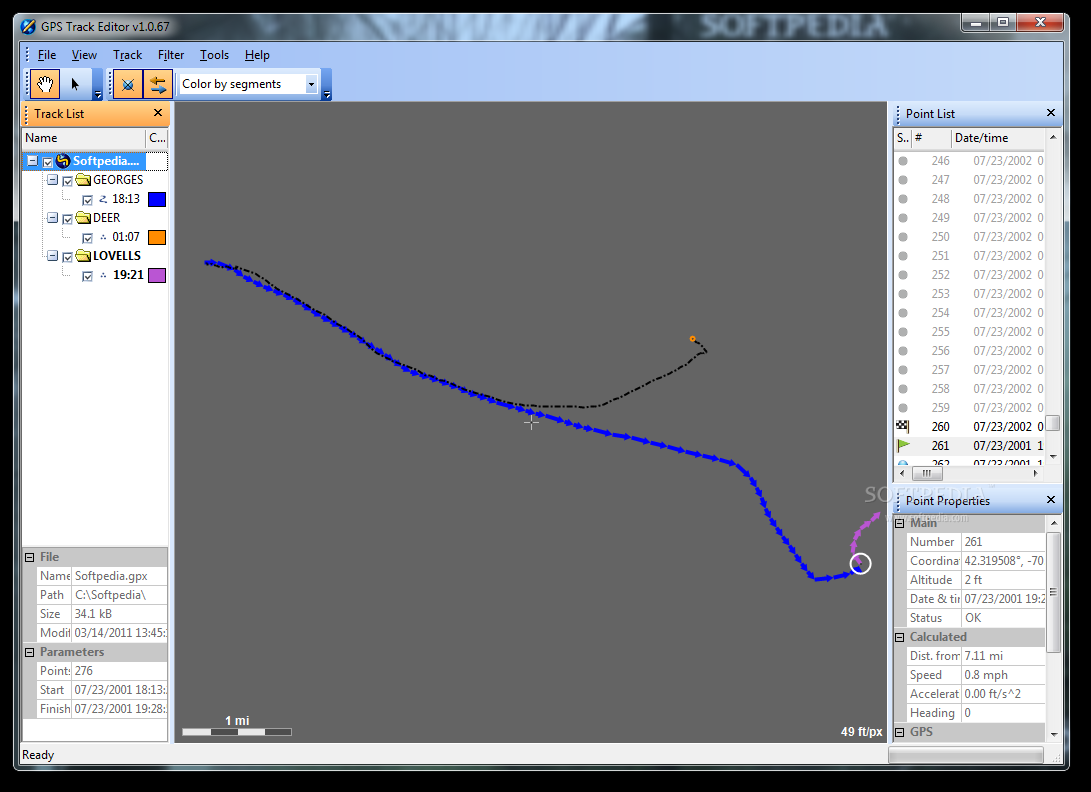
GPS Track Editor
A powerful tool made to help those who want to view and edit their GPS tracks, as well as extract and export data from those data files What's new in GPS Track Editor 1.15 Build 141 Beta: Feature Now...
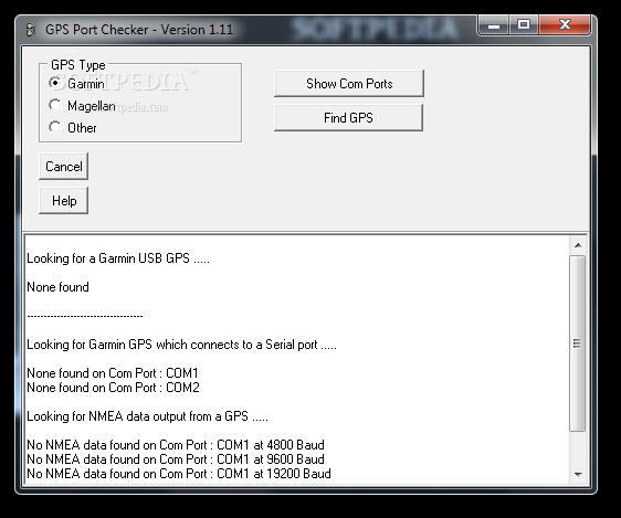
GPS Port Checker
Finds the COM port used by your GPS device.GPS Port Checker is a convenient tool that allows you to detect the port used by a connected GPS device. It is designed to listen to the ports sequentially and to...
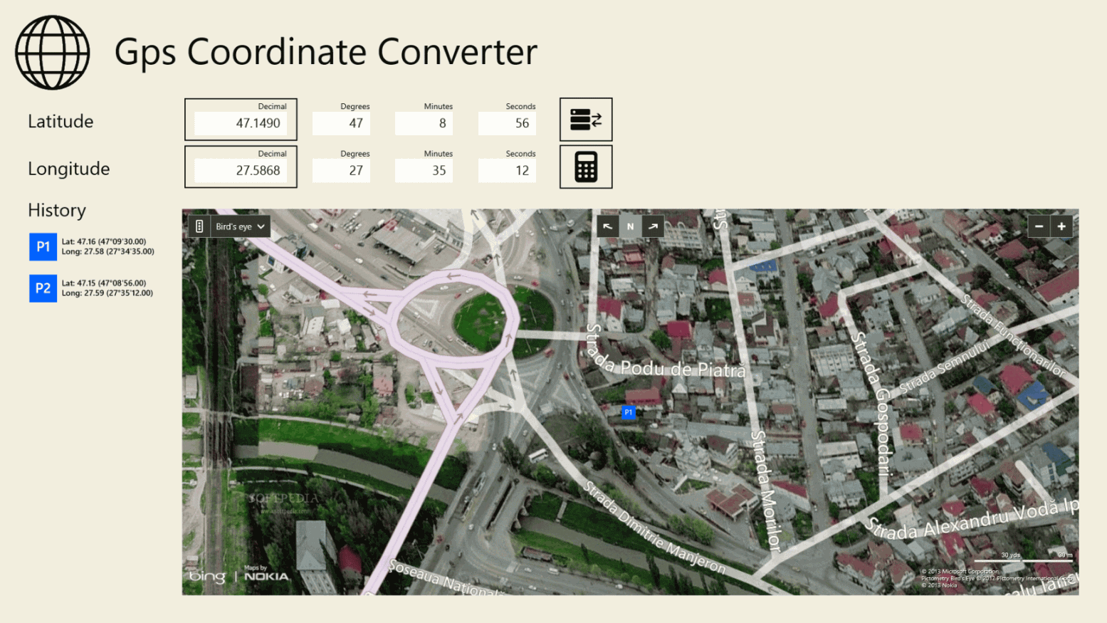
Gps Coordinate Converter
Seamlessly convert coordinates between degrees, minutes and seconds as well as decimal degree format using this Modern UI applicationGps Coordinate Converter is a desktop application you can use to convert coordinates between the degrees, minutes and seconds (DMS) and...
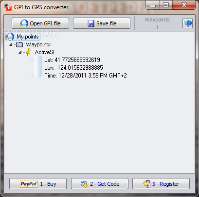
GPI to GPs converter
An application that allows you to transform from a GPI file format to GPsGPI to GPs converter is a software program which can seamlessly turn Garmin Points of Interest files (GPI) into Google Earth files (KMZ) or the GPS-supported...
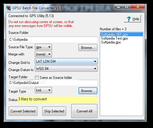
GPSU Batch File Converter
Convert GPS data files in bulk with the help of pre-installed GPS Utility using this approachable program with extensive file type supportDesigned for GPS data processing, GPSU Batch File Converter is a straightforward and approachable program that can convert...
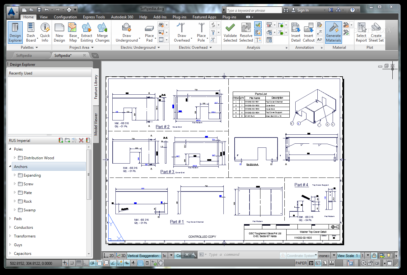
AutoCAD Utility Design
Professional electrical distribution design What's new in AutoCAD Utility Design 2014: Data Exchange: You can extract data from any Map 3D industry model into your design drawing, make changes and additions, and merge Utility Design features and updated Map...
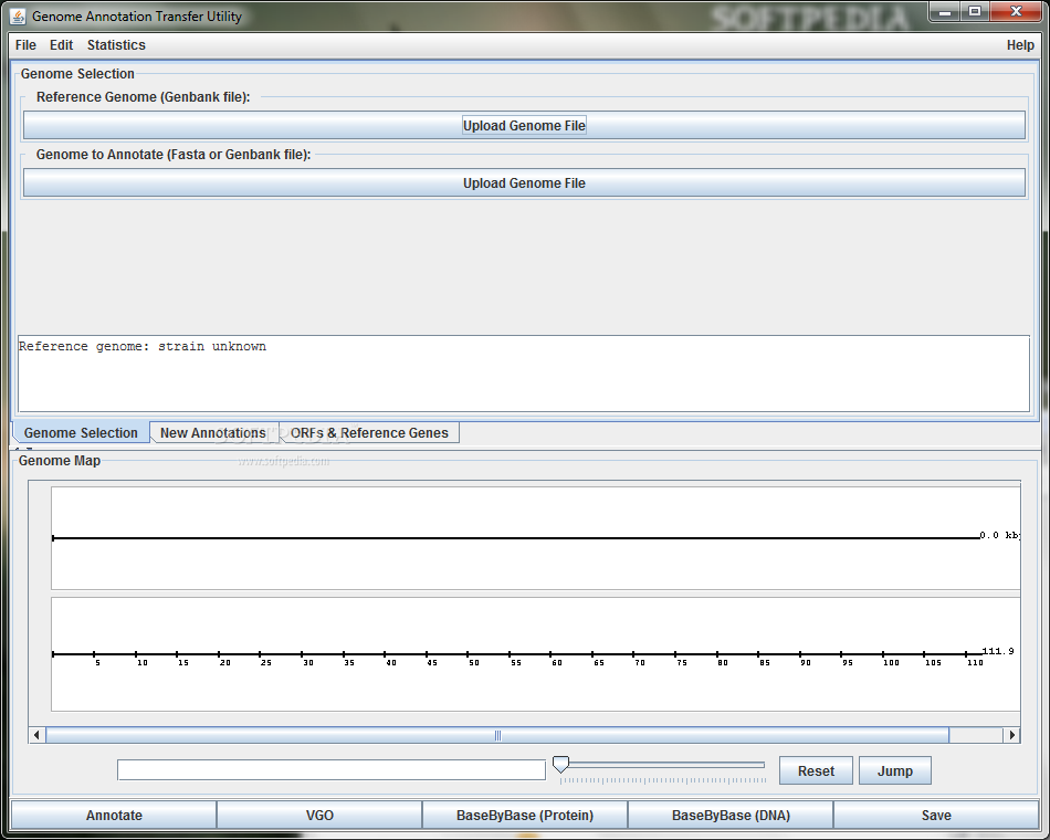
Genome Annotation Transfer Utility
Annotate genomes with this utilityGenome Annotation Transfer Utility, long for GATU is a Java-based tool that is able to annotate a genome that is based on a very closely related reference genome.The proteins / mature peptides of the reference...
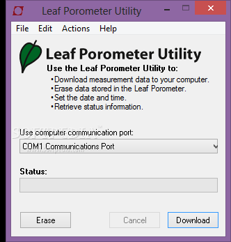
Leaf Porometer Utility
Easily get accurate stomatal conductance measurementsLeaf Porometer Utility is a simple and useful application that helps you to determine the stomatal conductance by measuring the vapor flux from the leaves.Before beginning a new measurement, you need to make sure...
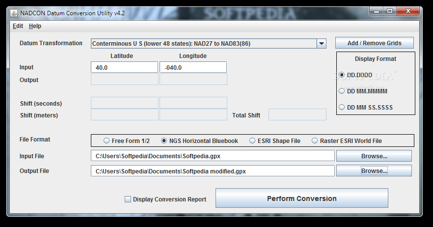
NADCON Datum Conversion Utility
Convert coordinate data for mapping or navigation.NADCON Datum Conversion Utility is a compact utility that can be used to transform geographic coordinates between different datums. Simply said the program transforms latitude and longitude coordinate values between two geodetic coordinate...
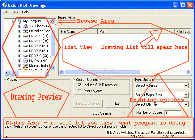
Plot2k - AutoCAD Batch Plot utility
AutoCAD batch plot utility that opens and prints Drawings in Batch modePlot2k - AutoCAD batch plot utility that opens and prints Drawings in Batch modePlot2k is AutoCAD Batch Plot Utility which can open and print AutoCAD drawings in Batch...
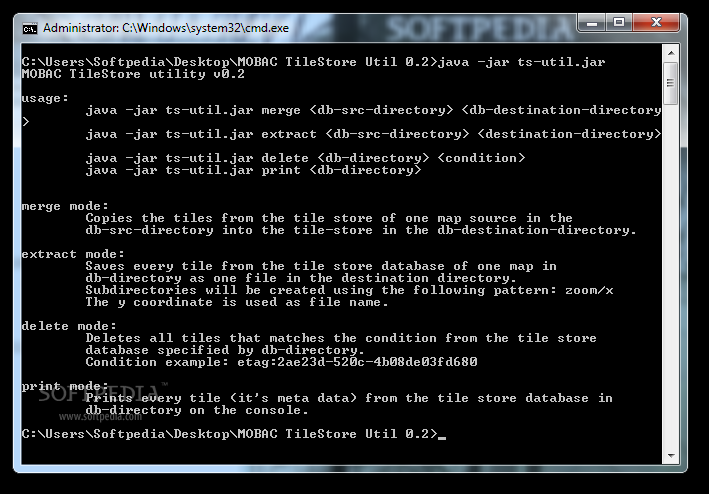
MOBAC TileStore utility
MAnage files in the tile store of Mobile Atlas CreatorMOBAC TileStore utility is a lightweight application that you can use to handle tiles in the tile store of Mobile Atlas Creator.The application can easily copy the tiles from a store...
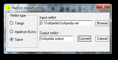
Netlist import utility
Allows you to convert netlist files for SuperPCB.Netlist import utility is a compact application that intends to help you use the netlists created with other programs in SuperPCB. You can convert them to the recognized format by simply selecting...
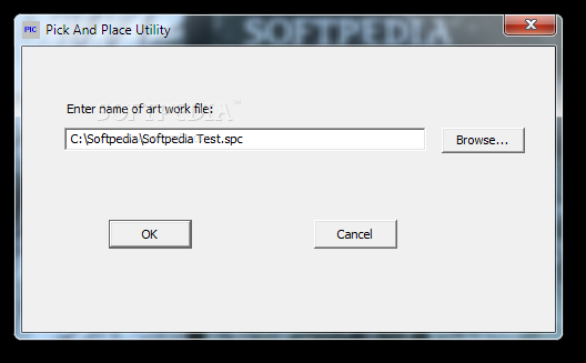
Pick and Place Utility
Allows you to export the component placement information from a PCB design.Pick and Place Utility is a lightweight application designed to extract the coordinates of all the electronic components from a SuperPCB artwork file. This information is required by...