NADCON Datum Conversion Utility Alternatives for Windows
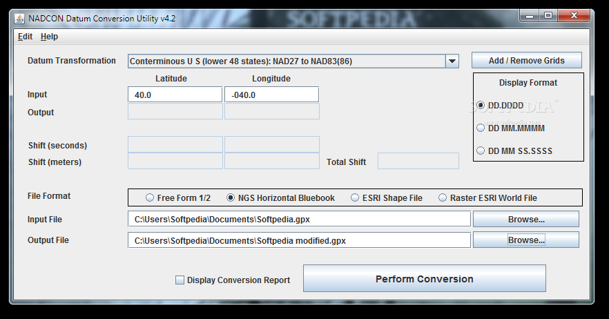
Do you want to find the best NADCON Datum Conversion Utility alternatives for Windows? We have listed 28 Science Cad that are similar to NADCON Datum Conversion Utility. Pick one from this list to be your new NADCON Datum Conversion Utility app on your computers. These apps are ranked by their popularity, so you can use any of the top alternatives to NADCON Datum Conversion Utility on your computers.
Top 28 Software Like NADCON Datum Conversion Utility - Best Picks for 2026
The best free and paid NADCON Datum Conversion Utility alternatives for windows according to actual users and industry experts. Choose one from 28 similar apps like NADCON Datum Conversion Utility 2026.
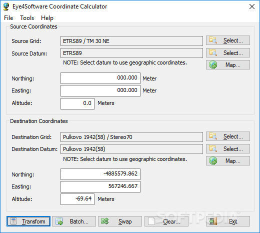
Eye4Software Coordinate Calculator
A tool to extrapolate a map from a series of map coordinates and a chosen country, or to create user defined grids on an existing map What's new in Eye4Software Coordinate Calculator 8.0.64.71220: Added support for NADCON / HARN,...
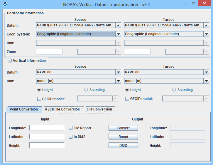
NOAA's Vertical Datum Transformation
Enables you to translate geospatial data between different reference systems, which helps the NOAA improve survey accuracy and obtain better resultsFor those with an interest in geography, maps, orienteering and navigation, having an accurate map is vital, but having...
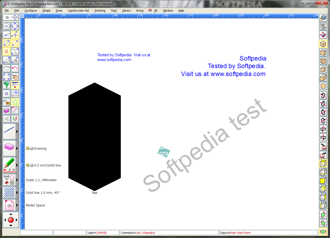
CAD6 Studio
Professional 2D/3D CAD program of the CAD6 series with all kernel functions and plug-ins for planning, construction, and visualization What's new in CAD6 Studio 2011.0.2.22: The “3D” Plug-In has been revised and extended by new commands and standard parts....
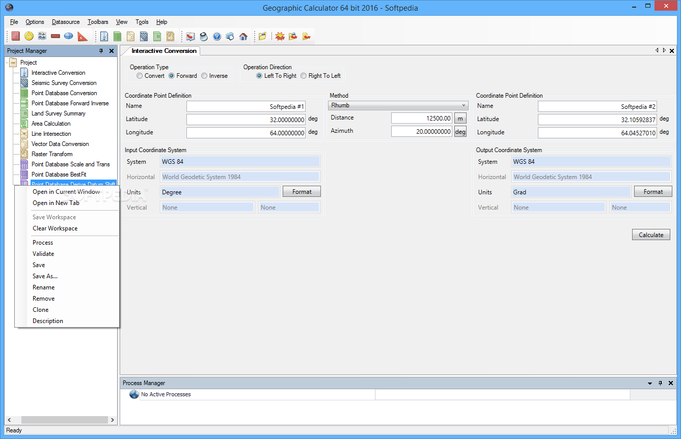
Geographic Calculator
Work with geographic, vector and seismic information, as well as perform various geospatial data conversions with the aid of this applicationGeographic Calculator is software solution created to provide a simple means of converting, translating and working with geospatial data.The...
CompeGPS AIR
The software that will let you obtain the maximum efficiency and fun before, during and after your flights.CompeGPS is a software application that provides you with maximum fun and efficiency during and after your flights. The great variety of...
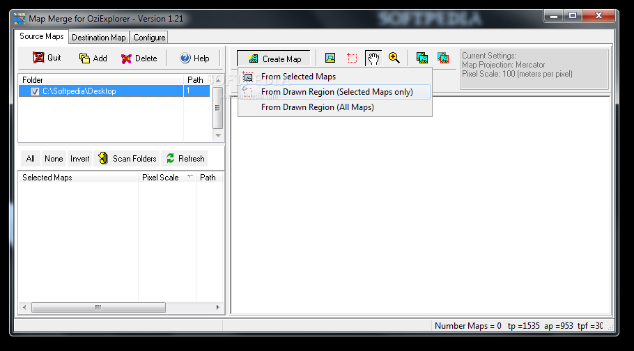
Map Merge for OziExplorer
Merge, trim and create your own maps for OziExplorer with this simple-to-use app that lets you configure a wide range of settings What's new in Map Merge for OziExplorer 1.28: Fixed major issue with mapmerge using excess memory when...
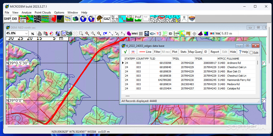
MicroDEM
A complex and useful mapping tool that allows both experts and amateurs to edit and merge satellite imagery files and digital elevation modelsMicroDEM is a powerful application that allows you to work with maps and satellite imagery in order...
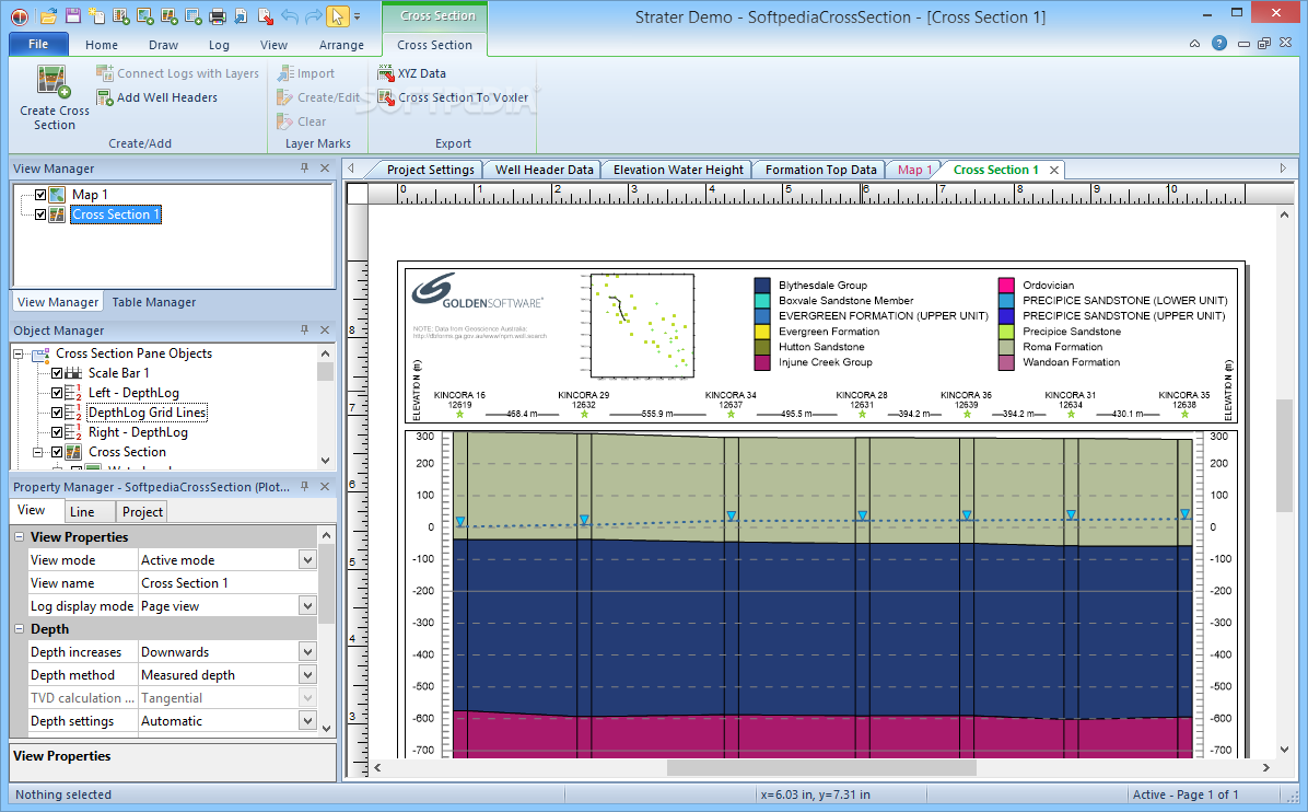
Strater
This application offers you the possibility to customize, as well as create projects with cross sections and stratigraphic views What's new in Strater 5.6.985: Fixed an Internal Error renaming a view in the View Manager to an empty or...
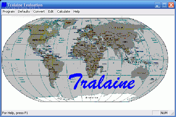
Tralaine
Tralaine converts coordinates in data files from one geographic coordinate system to anotherTralaine was designed to help with the conversion of geographic coordinates in data files from one geographic coordinate system to another; latitudes and longitudes to State Planes...
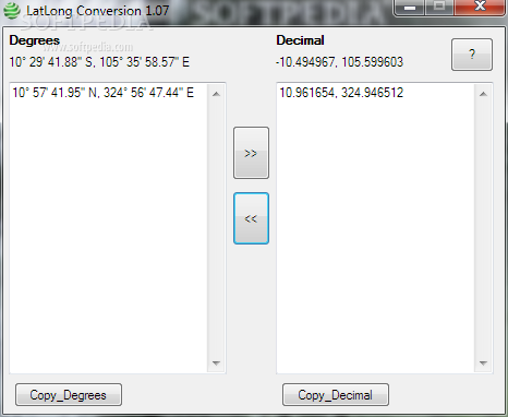
LatLong Conversion
A simple-to-use and portable program that enables you to convert latitude and longitude coordinates to decimal values or vice versa, and copy the results to the clipboardLatLong Conversion is a lightweight Windows application developed to fulfill a single goal:...
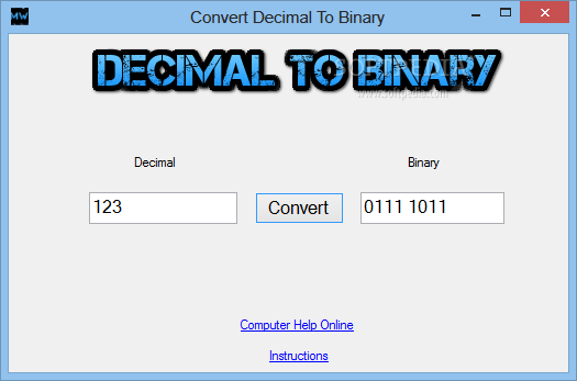
Decimal To Binary Conversion
A simple and user-friendly application designed as a quick means of converting decimal numbers into binary form with just one push of a buttonDecimal To Binary Conversion is a lightweight and intuitive software solution developed in order to provide...
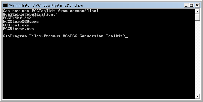
ECG Conversion Toolkit
A complete software toolkit for electrocardiograms.ECG Conversion Toolkit is an easy to use software toolkit designed to assist you in converting, viewing and printing electrocardiograms.System requirementsNET Framework
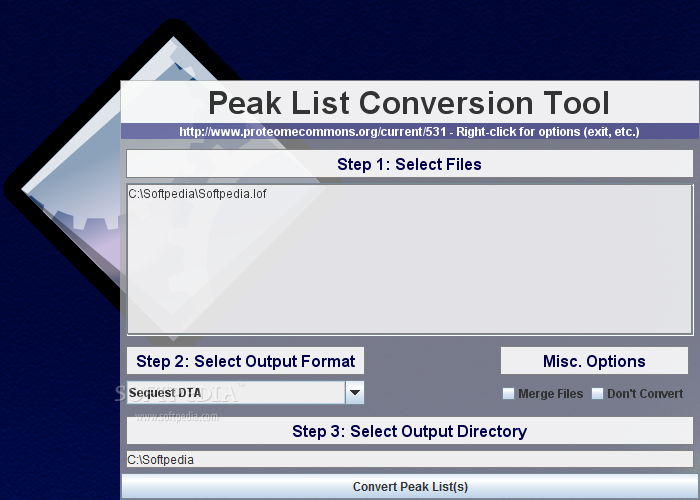
Peak List Conversion Tool
Quickly convert spectral and peak list files.Peak List Conversion Tool is a small application that will translate peak list or spectral data in to a simple, plain text format that is well-suited for passing via regular expressions in Perl,...
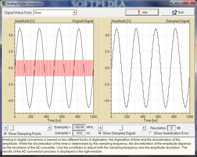
Analog/Digital Conversion
Study amplitude resolution with this simulation.Analog/Digital Conversion is a small, simple application specially designed to display the effects of changing the sampling frequency and / or the amplitude resolution. You may set both parameters and apply the digitization process...
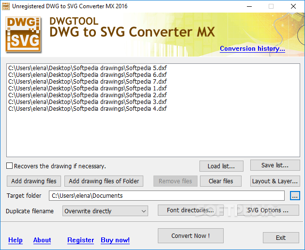
DWG to SVG Converter MX
Convert CAD drawings with the DWG, DXF, DWT and DWF format to SVG files, select the models and layouts, and configure various SVG settings What's new in DWG to SVG Converter MX 2019 6.6.8.170: Supports AutoCAD R2019 format drawing...
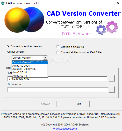
CAD Version Converter
Change the versions of AutoCAD drawings and convert them between DXF and DWF without altering the version, with this straightforward toolAs the name suggests, CAD Version Converter is a software program which allows you to change the version of...
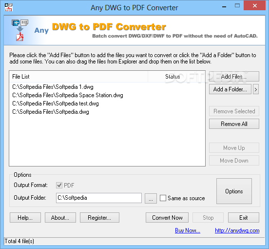
Any DWG to PDF Converter
Convert AutoCAD drawings (.dwg, .dxf, .dwf) to PDF format in bulk using this advanced app with many output configuration settingsGeared toward all user levels, Any DWG to PDF Converter facilitates file conversion from AutoCAD drawings (.dwg, .dxf, .dwf) to...
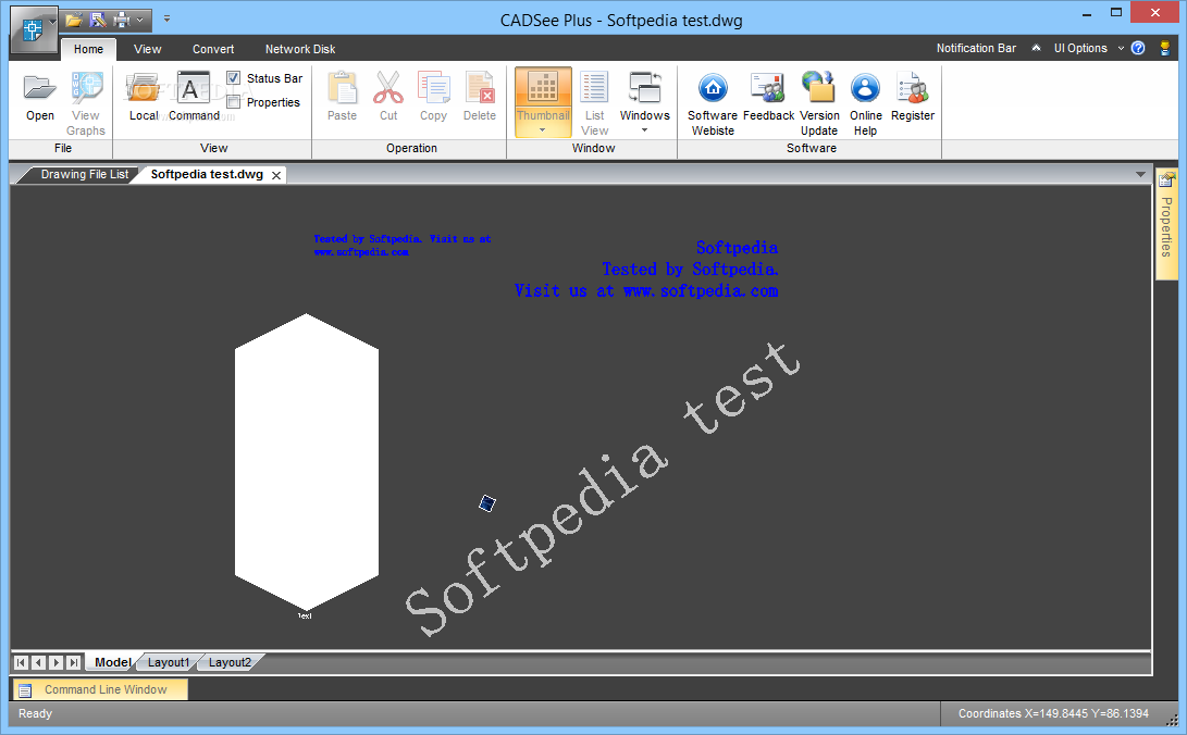
CADSee Plus
A reliable and effective application functioning as an image viewer for CAD files, which supports a wide range of formats, such as PSD, DWG or TIF What's new in CADSee Plus 7.0 Build 180510: Powerful and Convenient Drawing Editing...
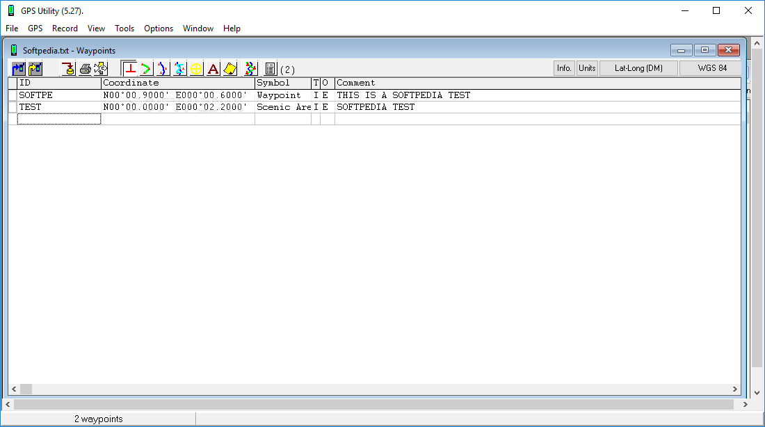
GPS Utility
With this simple and intuitive application, you have the possibility of managing waypoints, routes as well as trackpoint information What's new in GPS Utility 5.36: This version includes the following new function and program fixes: Import of Koden *.BIN...
GPS Utility Import File Converter
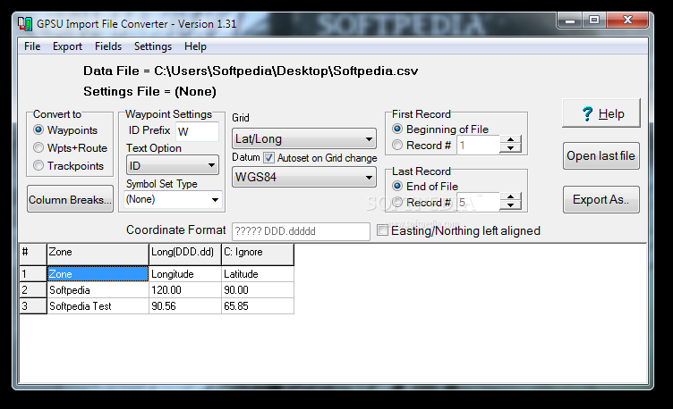
Convert GPS files into TXT or CSV format by processing waypoints, trackpoints, or waypoints and routes to prepare them for GPS Utility What's new in GPS Utility Import File Converter 1.36: Recent changes: Remove double quotes from data in...
AutoCAD Utility Design
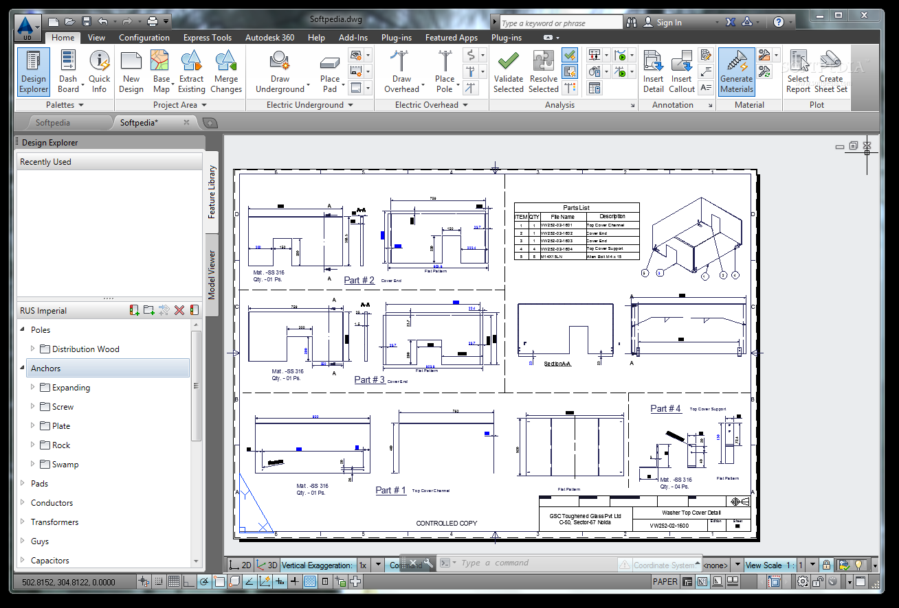
Professional electrical distribution design What's new in AutoCAD Utility Design 2014: Data Exchange: You can extract data from any Map 3D industry model into your design drawing, make changes and additions, and merge Utility Design features and updated Map...
Genome Annotation Transfer Utility
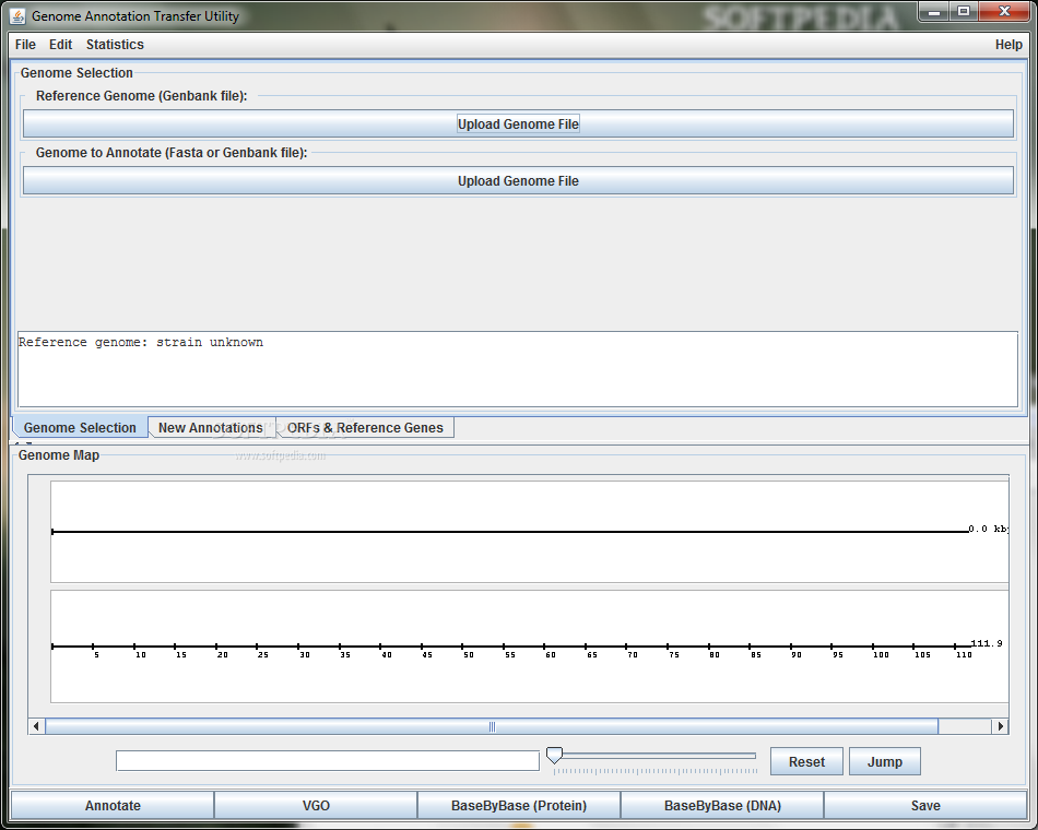
Annotate genomes with this utilityGenome Annotation Transfer Utility, long for GATU is a Java-based tool that is able to annotate a genome that is based on a very closely related reference genome.The proteins / mature peptides of the reference...
Leaf Porometer Utility
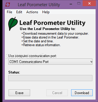
Easily get accurate stomatal conductance measurementsLeaf Porometer Utility is a simple and useful application that helps you to determine the stomatal conductance by measuring the vapor flux from the leaves.Before beginning a new measurement, you need to make sure...
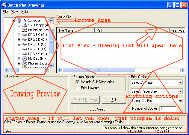
Plot2k - AutoCAD Batch Plot utility
AutoCAD batch plot utility that opens and prints Drawings in Batch modePlot2k - AutoCAD batch plot utility that opens and prints Drawings in Batch modePlot2k is AutoCAD Batch Plot Utility which can open and print AutoCAD drawings in Batch...
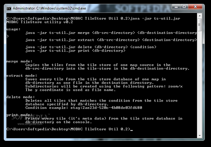
MOBAC TileStore utility
MAnage files in the tile store of Mobile Atlas CreatorMOBAC TileStore utility is a lightweight application that you can use to handle tiles in the tile store of Mobile Atlas Creator.The application can easily copy the tiles from a store...
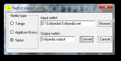
Netlist import utility
Allows you to convert netlist files for SuperPCB.Netlist import utility is a compact application that intends to help you use the netlists created with other programs in SuperPCB. You can convert them to the recognized format by simply selecting...
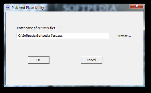
Pick and Place Utility
Allows you to export the component placement information from a PCB design.Pick and Place Utility is a lightweight application designed to extract the coordinates of all the electronic components from a SuperPCB artwork file. This information is required by...