Geosoft Plug-in for MapInfo Alternatives for Windows

Do you want to find the best Geosoft Plug-in for MapInfo alternatives for Windows? We have listed 37 Science Cad that are similar to Geosoft Plug-in for MapInfo. Pick one from this list to be your new Geosoft Plug-in for MapInfo app on your computers. These apps are ranked by their popularity, so you can use any of the top alternatives to Geosoft Plug-in for MapInfo on your computers.
Top 37 Software Like Geosoft Plug-in for MapInfo - Best Picks for 2025
The best free and paid Geosoft Plug-in for MapInfo alternatives for windows according to actual users and industry experts. Choose one from 37 similar apps like Geosoft Plug-in for MapInfo 2025.
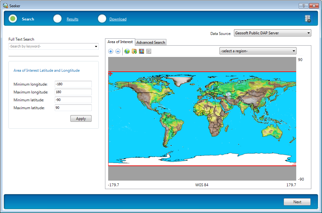
Geosoft Plug-in for ArcGIS
An enhancement that allows ArcGIS to load Geosoft file formats.Geosoft Plug-in for ArcGIS is a useful tool for the users that need to view Geosoft grid files in the ArcGIS Desktop program. It also enables the application to retrieve...

Geosoft Desktop Cataloger
Index your spatial datasets with this tool.Geosoft Desktop Cataloger is a practical tool for all the engineers that deal with spatial data and need to quickly locate certain files on their computer. The application scans the connected hard drives...
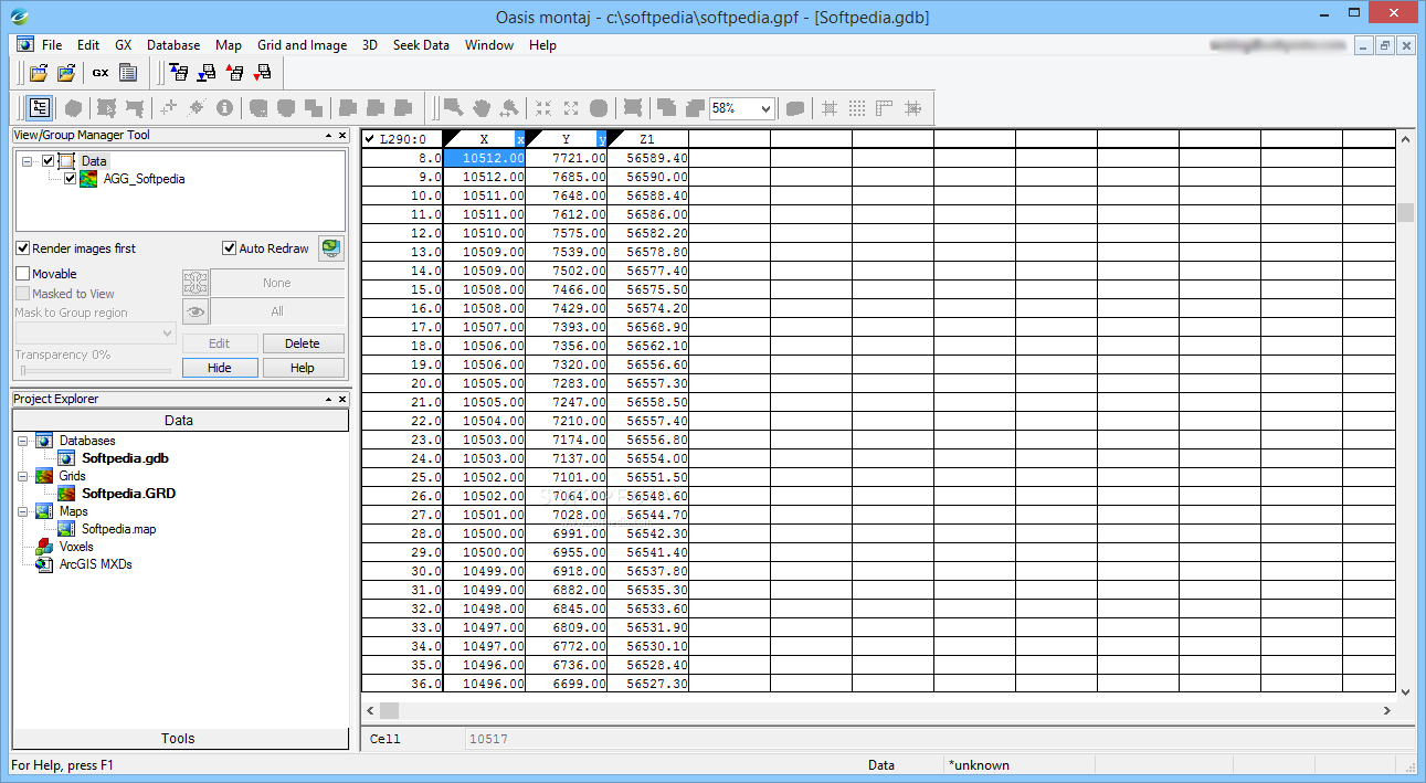
Oasis Montaj Viewer Edition
A handy and reliable application that allows you to analyze and convert geographical data or databases imported from Geosoft filesGeographical data can be hard to analyze sometimes, due to the multitude of views and charts you need to scan...
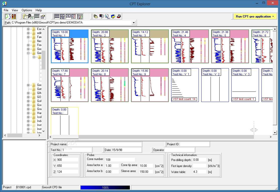
CPT-pro
Allows you to visualize and interpret CPT data files in order to generate reports and create geotechnical documentation for your projectsCPT-pro is a useful application for the engineers who need to analyze various data from Cone Penetration Tests (CPT)....
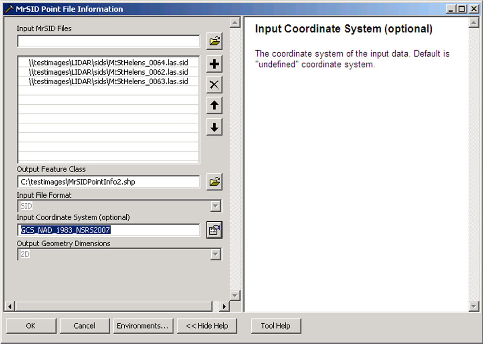
MrSID Plug-in for ArcGIS 3D Analyst
Enables 3D Analyst to load MrSID data files.MrSID Plug-in for ArcGIS 3D Analyst is a tool that allows you to extend the 3D Analyst functionality by adding MrSID support. With this plug-in the ArcGIS program can load point cloud...
GeoRefImg
Tool for georeferencing raster images in plain AutoCAD, in order to set custom sizes and positions, featuring support for many filetypes What's new in GeoRefImg 2.9: Support for AutoCAD 2017/2018, JPGW and WLD world files Read the full...
CATIA V4 Import for AutoCAD
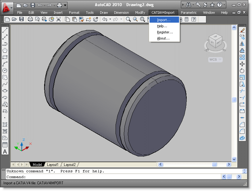
CATIA V4 file import plug-in for AutoCADCATIA V4 Import for AutoCAD is a useful plug-in for AutoCAD. This plug-in gives AutoCAD the ability to import data from CATIA V4 part and assembly files. CATIA V4 Import for AutoCAD creates...

CATIA V5 Import for AutoCAD
CATIA V5 file import plug-in for AutoCADCATIA V5 Import for AutoCAD is an easy to use CATIA V5 importer plug-in for AutoCAD. This plug-in gives AutoCAD the ability to import 3D data from CATIA V5 part and assembly files.CATIA V5...

Inventor Import for AutoCAD
Inventor file import plug-in for AutoCADInventor Import for AutoCAD is an easy-touse importer plug-in for AutoCAD. This plug-in gives AutoCAD the ability to import 3D solid data from Inventor part (IPT) and assembly (IAM) files. Inventor Import for AutoCAD creates...

Pro/ENGINEER Import for AutoCAD
Pro/ENGINEER file import plug-in for AutoCADPro/ENGINEER Import for AutoCAD is an easy to use importer plug-in for AutoCAD. This plug-in gives AutoCAD the ability to import 3D solid data from Pro/ENGINEER part (PRT) and assembly (ASM) files. Pro/ENGINEER Import for...

SAT Import for AutoCAD
SAT file import plug-in for AutoCADSAT Import for AutoCAD is an easy to use ACIS SAT and SAB file importer plug-in for AutoCAD. This plug-in gives AutoCAD the ability to import 3D solid models from ACIS SAT and SAB...
IGES Import for AutoCAD
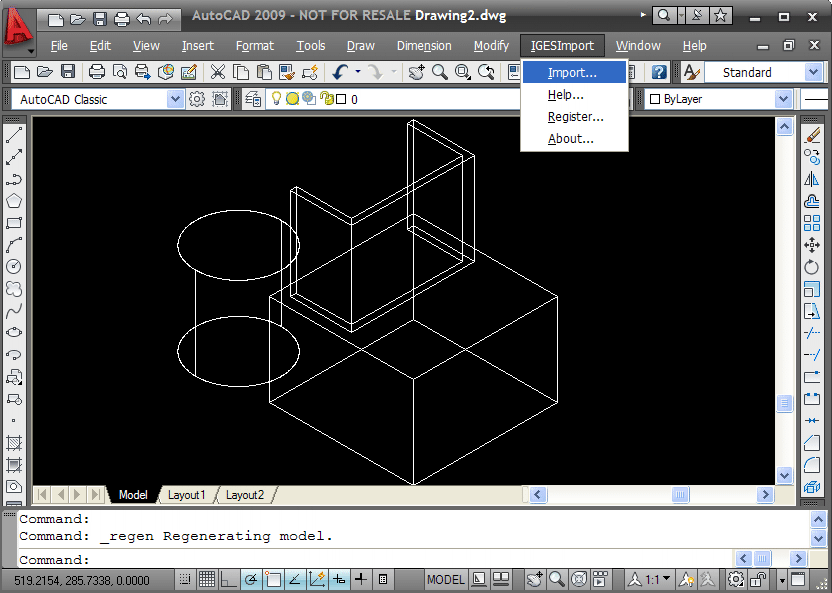
IGES file import plug-in for AutoCADIGES Import for AutoCAD is a plug-in for AutoCAD 2002, 2000i, 2004 and 2000. This plug-in gives AutoCAD the ability to import geometric data from ASCII IGES files.The Initial Graphics Exchange Specification (.IGES) file...
Bayesian Network Tools in Java
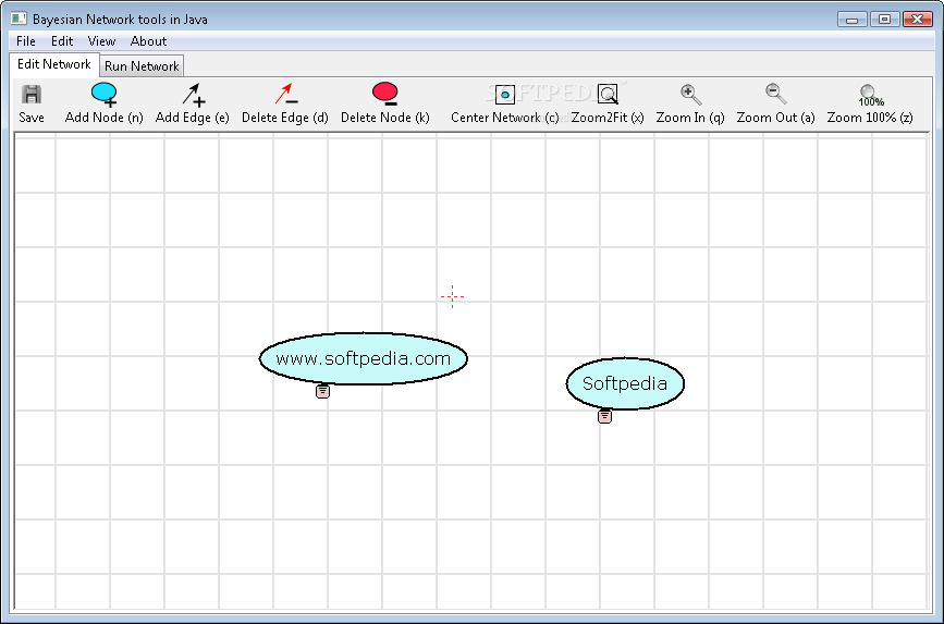
Create and study Bayesian networksBayesian Network Tools in Java was created as a handy and lightweight application that can be used for research.This useful Java / XML toolkit makes use of Bayesian networks and various other graphical models of...
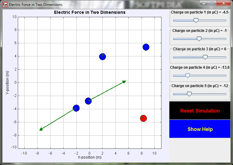
Point Charge Forces in 2D Model
Study electricity and magnetism with this simulation.Point Charge Forces in 2D Model is a small, Java based application specially designed to help you investigate the electric force that a charged particle experiences in a two-dimensional situation, because of four...
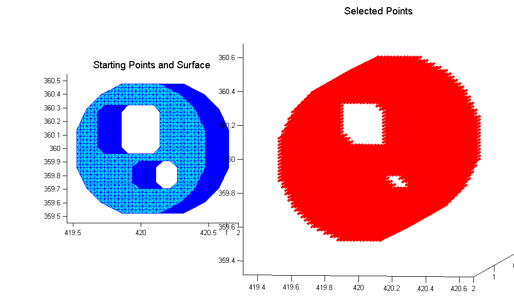
In-Polyhedron Test
Matlab addon that can detect points inside a manifold closed surface (even non convex ones).InPolyedron is a handy Matlab addon that detects points inside a manifold closed surface (even non convex ones). The normal orientation is assumed to be...
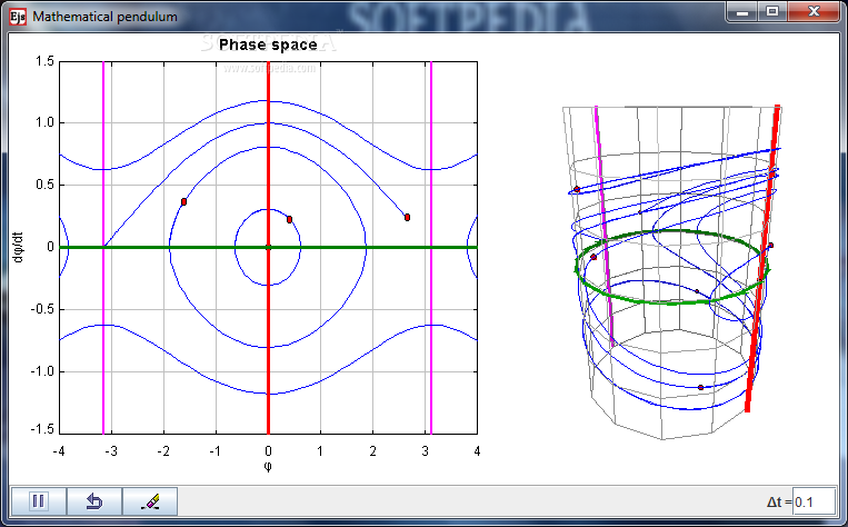
Pendulum Motion in Phase Space Model
Study the dynamics of pendula in phase space with this tool.Pendulum Motion in Phase Space Model is a very useful, Java based application designed to display the dynamics of an ensemble of pendula in phase space (velocity versus position)....
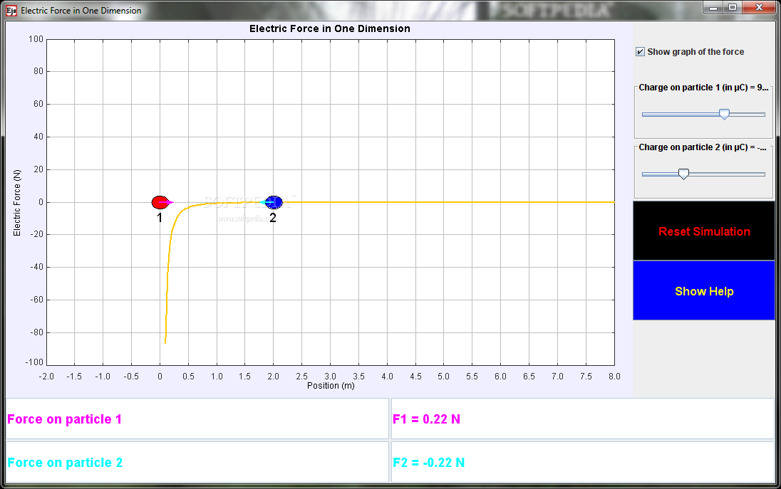
Point Charge Forces in 1D Model
Analyze electric force with this simulation.Point Charge Forces in 1D Model is a small, Java based tool specially designed to help you investigate the electric force that one charged particle exerts on another.It is a very simple representation that...
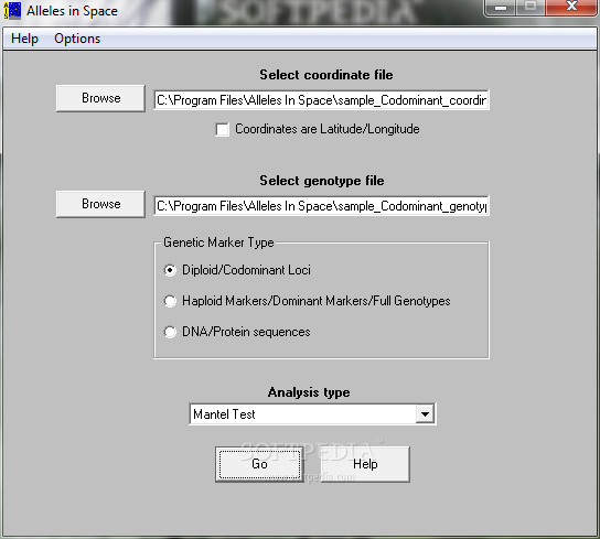
Alleles In Space
A computer program for the joint analysis of inter-individual spatial and genetic informationAlleles In Space is a program designed to perform analyses with many different types of genetic data. Codominant genotypes (such as microsatellites or allozymes), DNA sequences, or...
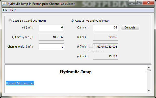
Hydraulic Jump In Rectangular Channel Calculator
Calculate the hydraulic jump with this toolThe Hydraulic Jump In Rectangular Channel Calculator is a simple, Java-based educational application that displays the hydraulic jump phenomenon and can be used to calculate y2 and losses.Under proper conditions, a rapidly flowing...
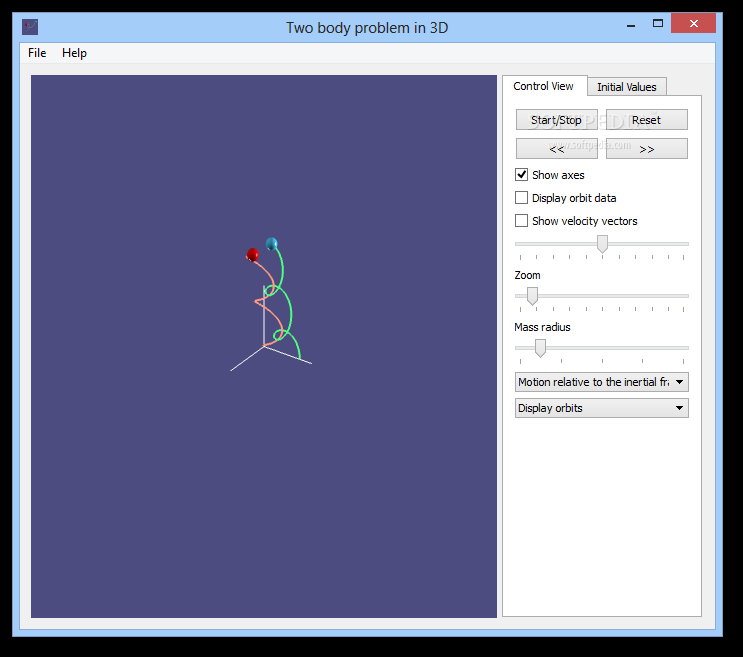
Two body problem in 3D
Understand the two body problem concept in a 3D environment which you can customize to behave in a particular way, and change simulation typeBefore an important step is taken in any domain of activity, heavy research is performed, and...
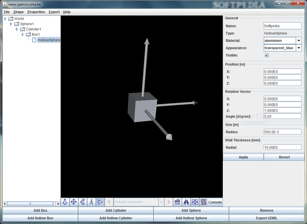
Geometry Definition Tool for SPENVIS
Define 3D geometry with easeGeometry Definition Tool for SPENVIS was built as an interactive graphical utility that is able to define simple 3D geometries.The tool allows you to export your projects as GDML files, a format used by Geant4...
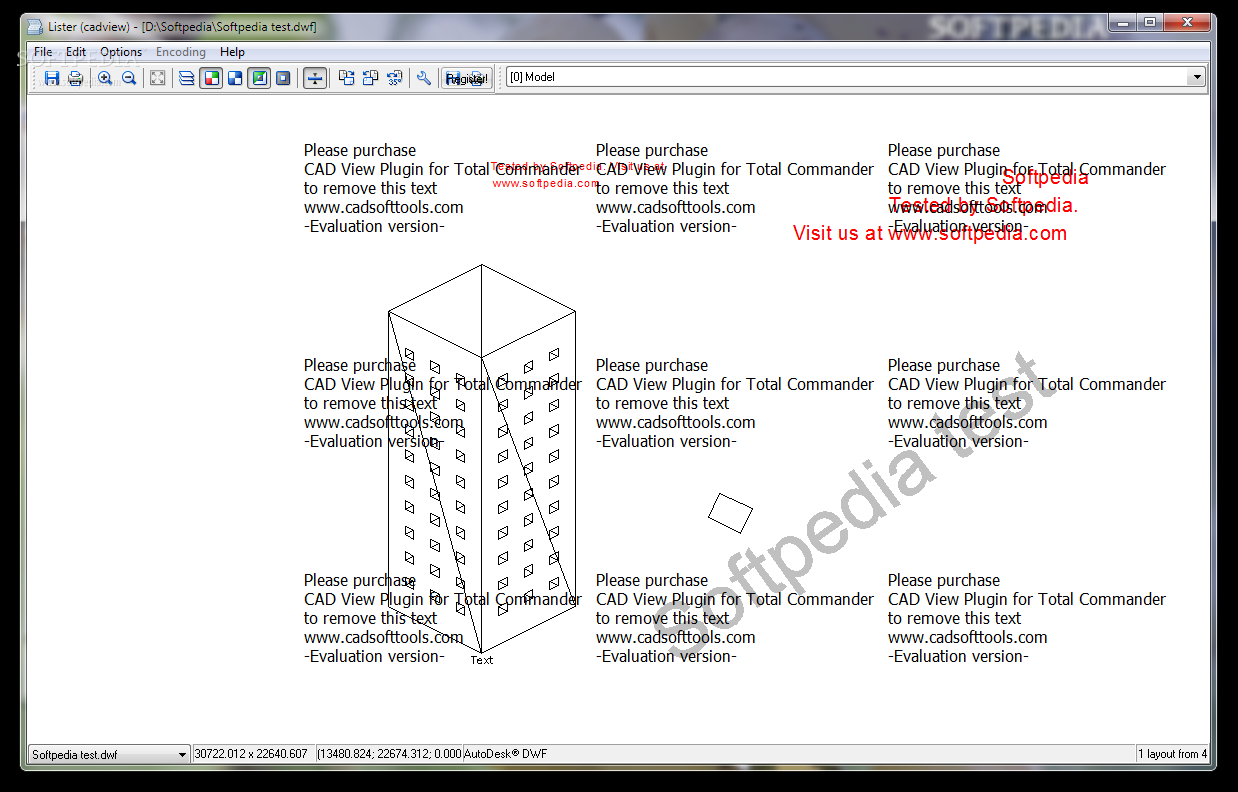
CAD View Plugin for Total Commander
A plugin for Total Commander that supports DWG, DXF, HPGL / HPGL2, SVG, CGM.CAD View Plugin for Total Commander is a small plugin for Total Commander that allows you to view CAD files drawings and export them to BMP,...

InnerSoft CAD for AutoCAD
AutoCAD plugin that facilitates fast data exporting to Excel and features tools for performing measurements in CAD-based projectsInnerSoft CAD for AutoCAD is a plugin for AutoCAD that aims to ease the process of manually exporting data from the popular...
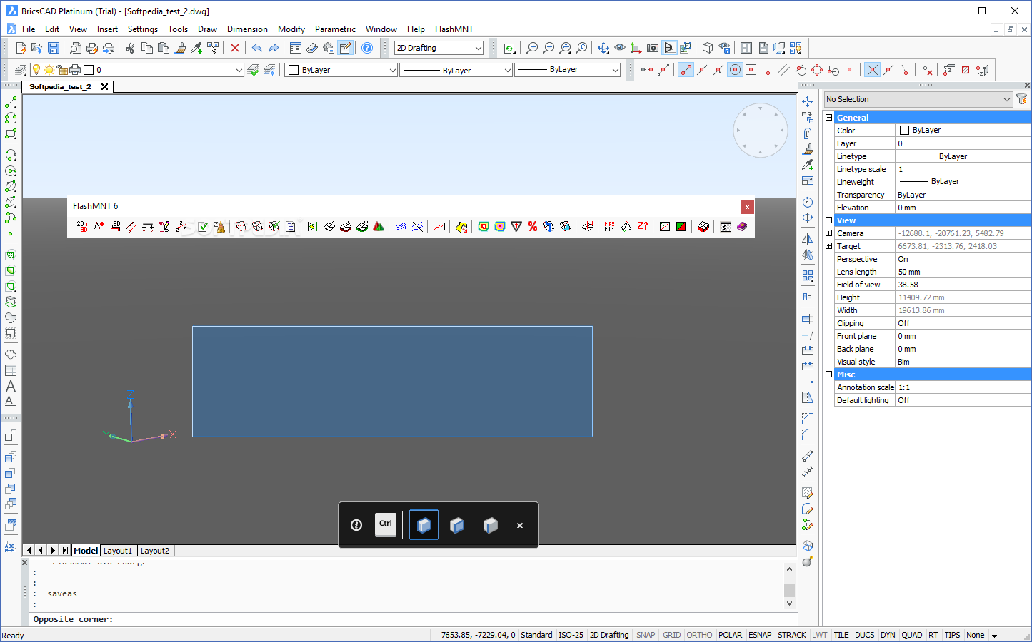
FlashMNT for AutoCAD and BricsCAD
Create 3D Digital Terrain Models and similar meshes that entail calculating areas and volumes without too much hassle using this add-onFrom military applications and other human-made structures to overseeing issues such as water infiltration, overland flow, floods, vegetation distribution...
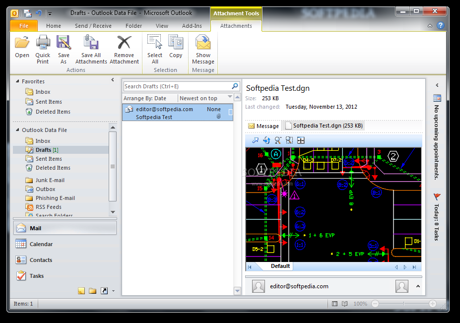
Bentley DGN Reader for Windows 7
This program is designed to help you share DGN files with other users by allowing them to preview them within Windows Explorer or other applicationsBentley DGN Reader for Windows 7 is a shell extension that enables you to preview...
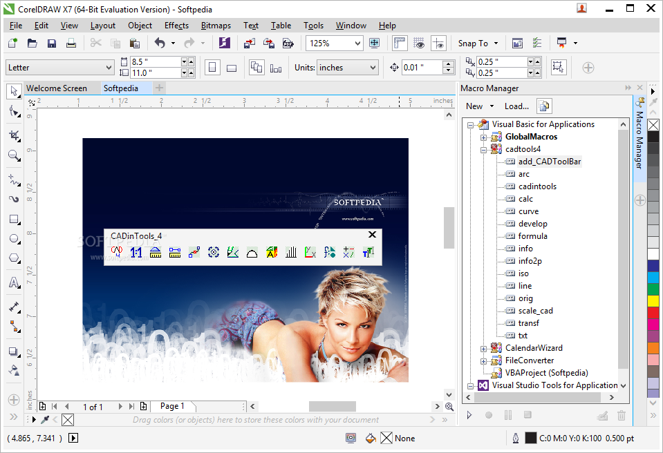
CADinTools Macros for CorelDRAW
A set of additional tools dedicated to performing CAD measurements in CorelDRAW or Corel Designer, aiming to be of assistance to architects and engineersCADinTools Macros aims to ease the work of engineers, designers and architects who need to perform...
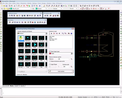
CP-System Building Design for AutoCAD
A professional tool created for AutoCAD users in order to perform mechanical HVAC design, electrical layout, plumbing or structural detail drawing What's new in CP-System Building Design for AutoCAD 9.07: New Release for AutoCAD, progeCAD, AutoCAD LT (with LTX),...
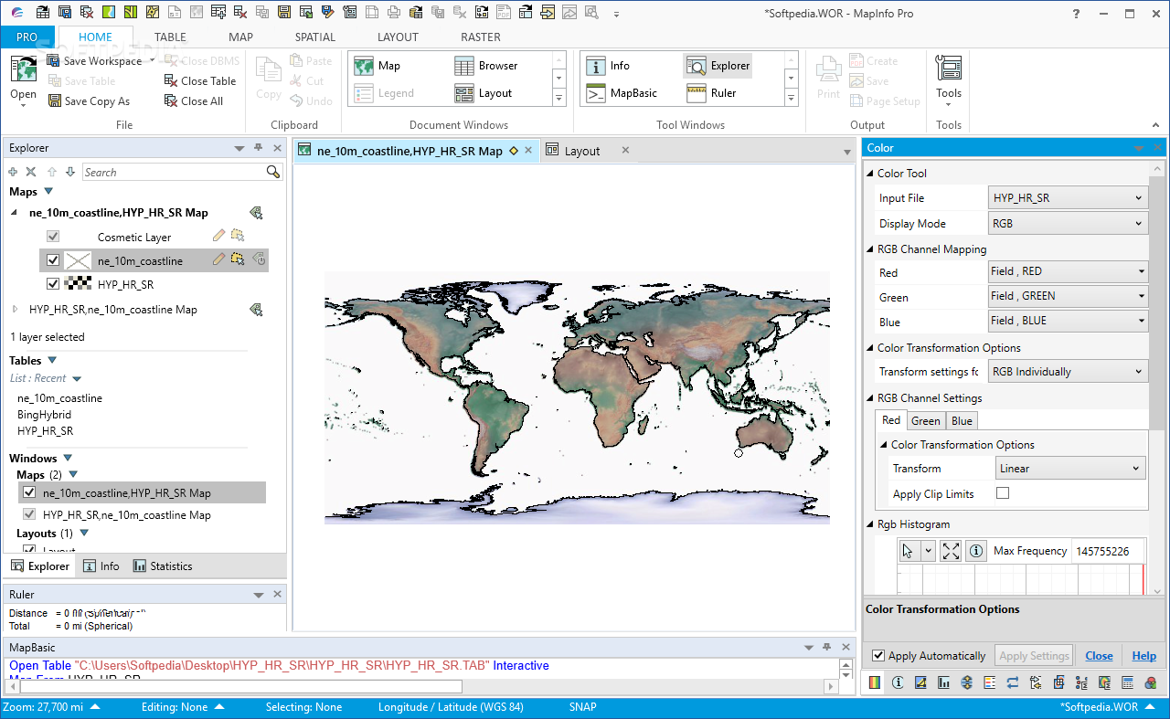
MapInfo Professional
Perform advanced geographical data analysis and mapping work using the increased functionality of this software that offers a great bundle of essential GIS features What's new in MapInfo Professional 17.0.4: Here are the highlights: Geocode Tool Enhancements A new...

MrSID Raster Format Handler for MapInfo
Load and navigate through SID files in MapInfo Professional.MrSID Raster Format Handler for MapInfo is a useful add-in for the MapInfo Professional application that allows you to open the MrSID image format. The user can navigate through the vector...

PolyNodeExtractor for MapInfo
A coordinate extractor for MapInfo users.PolyNodeExtractor for MapInfo is a plug-in that allows you to extract the coordinates for any location. It is designed to help MapInfo users to retrieve the X, Y and Z values for a certain...
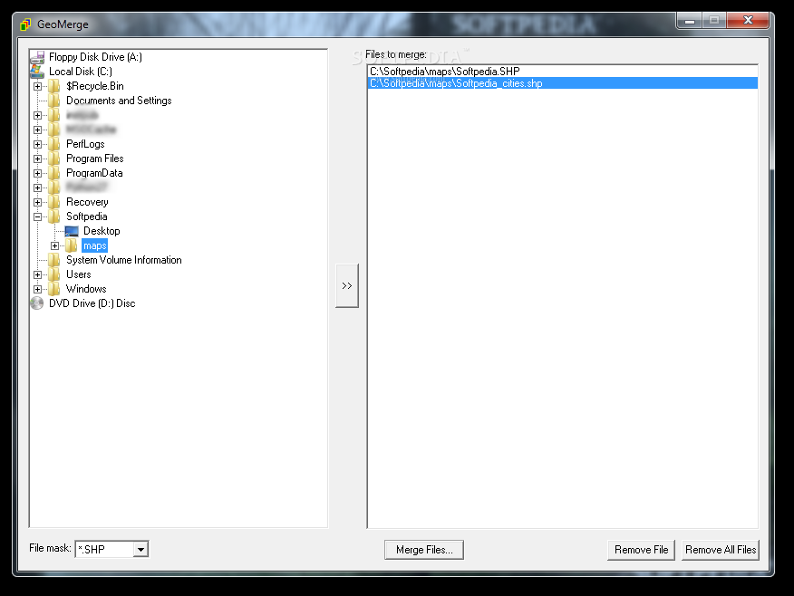
GeoMerge
Combine multiple ESRI Shapefiles and MapInfo TAB files into a single SHP file using this simple application with intuitive optionsGeoMerge is an application you can use to merge multiple maps into a single file. It offers support for ESRI...

HotSpot Detective
A crime analysis toolbox that extends the functionality of MapInfo.HotSpot Detective is a MapInfo add-on designed to help you analyze crime data with multiple tools. You can use this utility to find out the locations with repeated crime events...
Geographic Tracker
Decode and view the data received from GPS devices. What's new in Geographic Tracker 4.0: General: Multiple GPS connection support Profiles for working with multiple GPS units on the same computer or sharing profiles between users/computers Extended logging support...
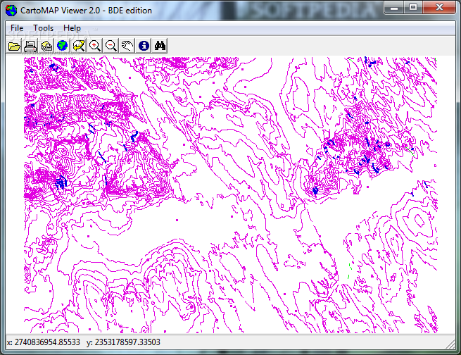
CartoMAP Viewer
View GIS information (.cgf and .dgn files), import DXF entities, convert .mif and .shp to .cgf, as well as generate bitmaps using this toolCartoMAP Viewer is a program you can use to open and view Cartographique Graphic (.cgf) and...
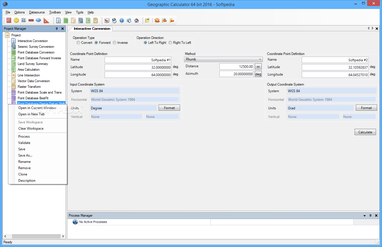
Geographic Calculator
Work with geographic, vector and seismic information, as well as perform various geospatial data conversions with the aid of this applicationGeographic Calculator is software solution created to provide a simple means of converting, translating and working with geospatial data.The...
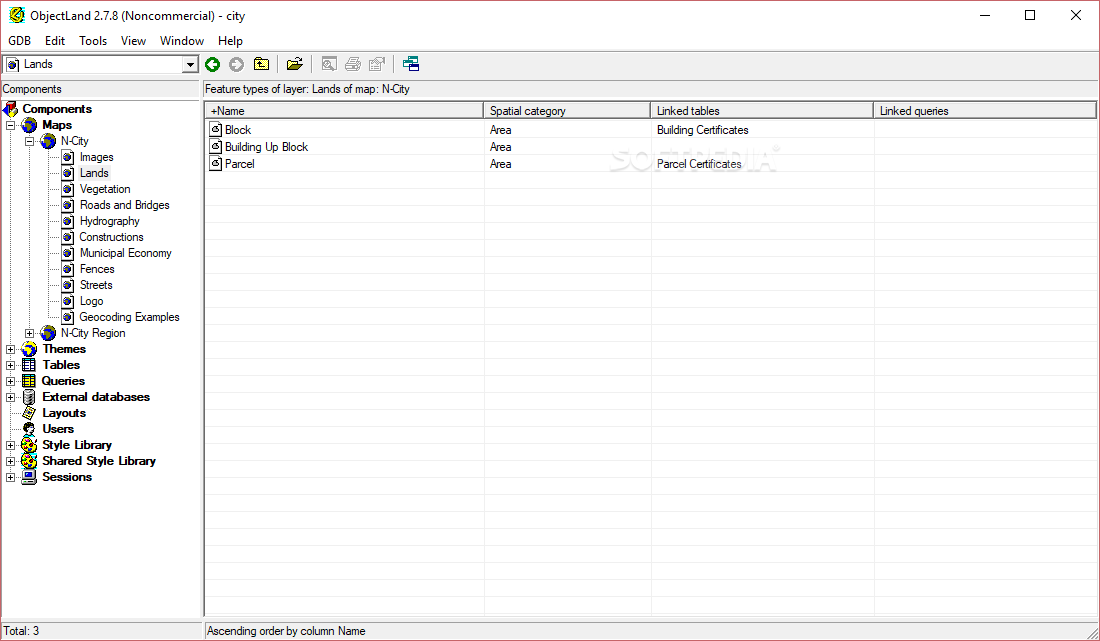
GIS ObjectLand
A universal Geographic Information System that can use spatial data from internal or external databases like MS SQL or Oracle serversNOTE: This application is free for non-commercial use.If you're working in a field that involves relying on a lot...