MrSID Raster Format Handler for MapInfo Alternatives for Windows

Do you want to find the best MrSID Raster Format Handler for MapInfo alternatives for Windows? We have listed 38 Science Cad that are similar to MrSID Raster Format Handler for MapInfo. Pick one from this list to be your new MrSID Raster Format Handler for MapInfo app on your computers. These apps are ranked by their popularity, so you can use any of the top alternatives to MrSID Raster Format Handler for MapInfo on your computers.
Top 38 Software Like MrSID Raster Format Handler for MapInfo - Best Picks for 2025
The best free and paid MrSID Raster Format Handler for MapInfo alternatives for windows according to actual users and industry experts. Choose one from 38 similar apps like MrSID Raster Format Handler for MapInfo 2025.
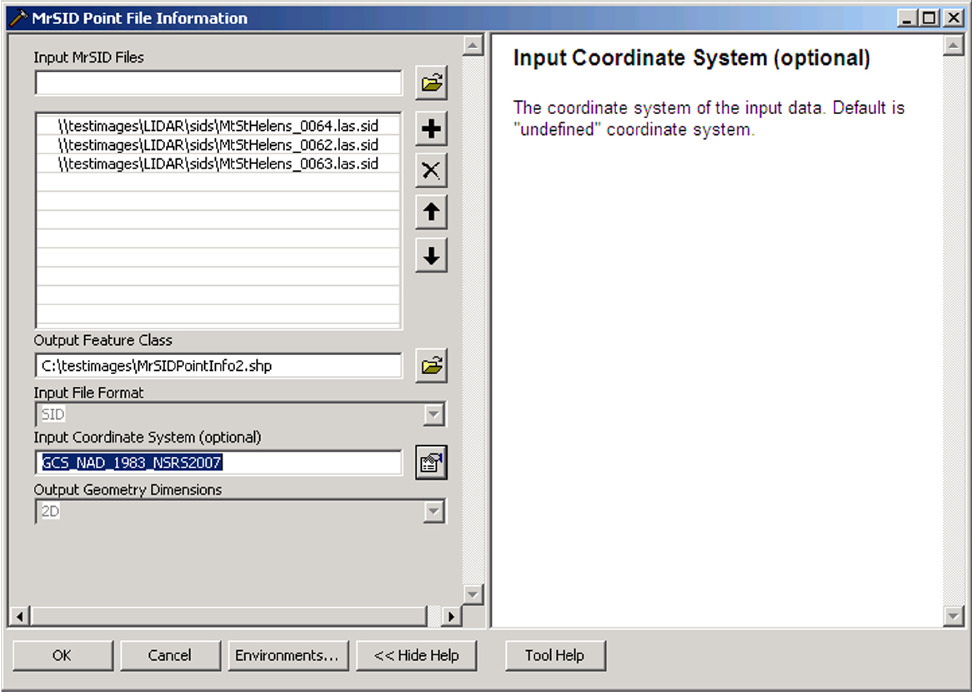
MrSID Plug-in for ArcGIS 3D Analyst
Enables 3D Analyst to load MrSID data files.MrSID Plug-in for ArcGIS 3D Analyst is a tool that allows you to extend the 3D Analyst functionality by adding MrSID support. With this plug-in the ArcGIS program can load point cloud...
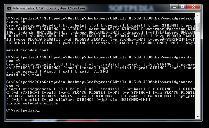
GeoExpress Command Line Utilities
A collection of tools designed to help you manipulate MrSID files.GeoExpress Command Line Utilities contains three tools that can decompress, view metadata and edit the properties of geospatial raster files. The tools are able to handle the MrSID format...
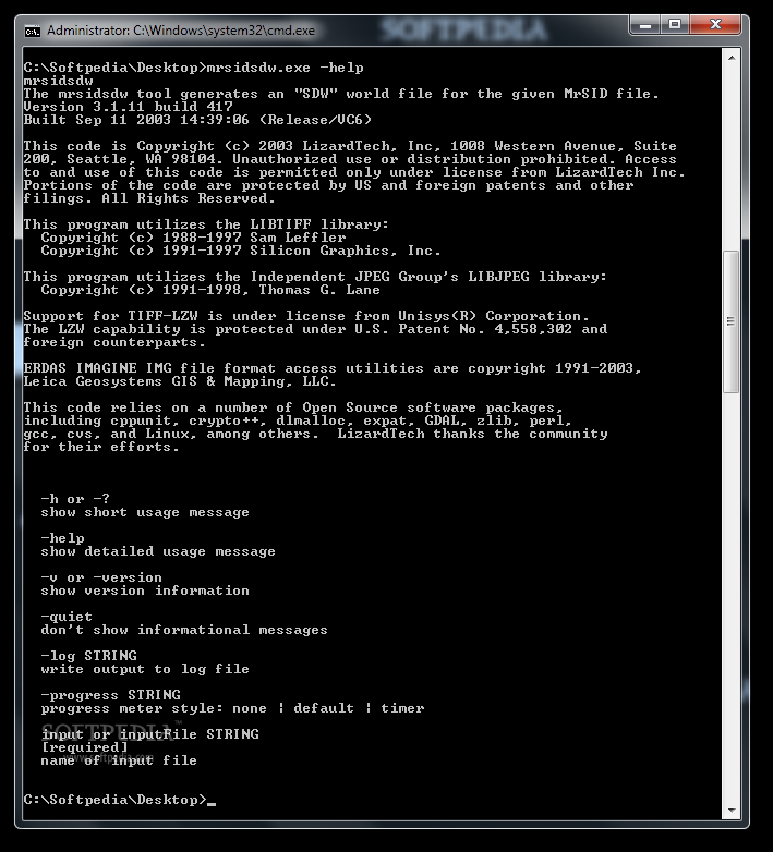
mrsidsdw
Create a world file for MrSID datasets.mrsidsdw is a command line tool designed to generate a SDW file for the geospatial data files contained by MrSID files. You can use this tool in command line mode or by creating...
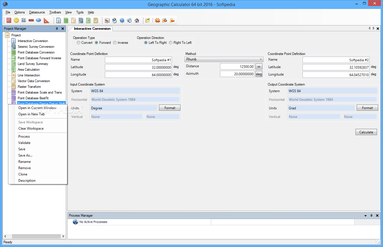
Geographic Calculator
Work with geographic, vector and seismic information, as well as perform various geospatial data conversions with the aid of this applicationGeographic Calculator is software solution created to provide a simple means of converting, translating and working with geospatial data.The...
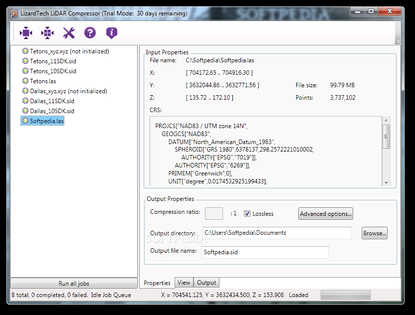
LiDAR Compressor
Save disk space by compressing LiDAR files.LiDAR Compressor allows you to reduce the size of the Light Detection And Ranging files in order to save disk space. The LiDAR data sets are known to require large storage devices which...
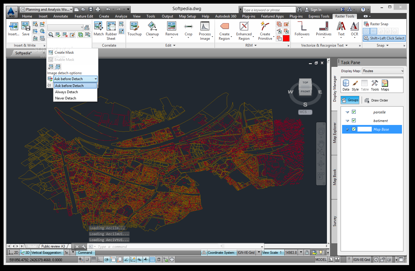
AutoCAD Raster Design
A powerful environment dedicated to the creation of raster graphics and also able to perform conversions, design enhancements and OCRCreating three-dimensional designs, editing and analyzing projects that include raster graphics is a serious endeavor which requires specialized utilities and...
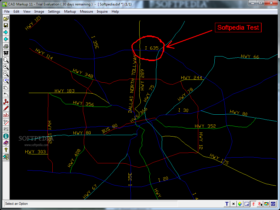
CAD Markup
Allows you to annotate CAD files and export them to image files.CAD Markup is a useful application for the engineers and users who need to make annotations on CAD files. The program can open both vector and raster file...
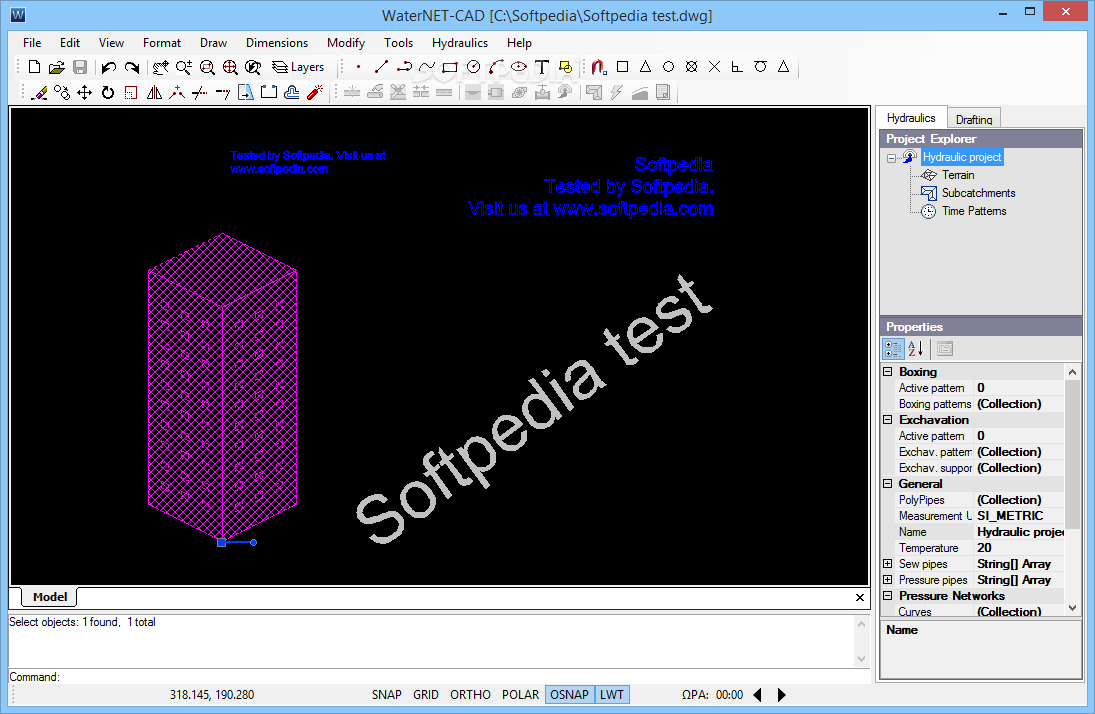
WaterNET-CAD
This complex professional application was developed to help you create pipe network designs for sewer, vacuum sewer or water distributionWaterNET-CAD is an advanced and reliable software solution whose main function resides in offering you the ability to design complex...
GeoRefImg
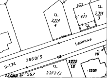
Tool for georeferencing raster images in plain AutoCAD, in order to set custom sizes and positions, featuring support for many filetypes What's new in GeoRefImg 2.9: Support for AutoCAD 2017/2018, JPGW and WLD world files Read the full...
MEDUSA4 Personal
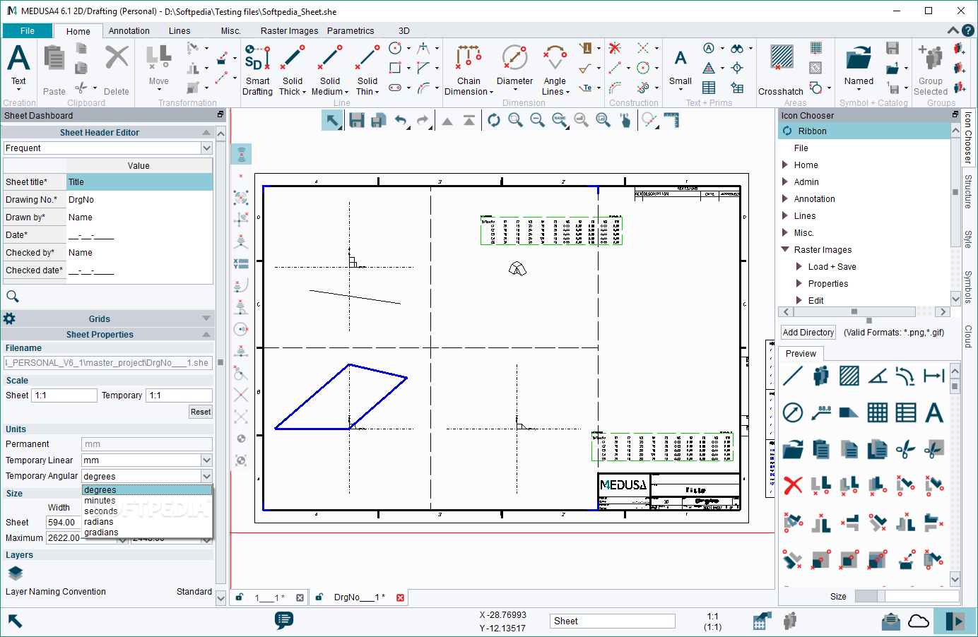
Create and edit advanced CAD projects with this accessible software solution that offers comprehensive 2D / 3D editing and metal sheet design What's new in MEDUSA4 Personal 6.1 Build 6.1.0 20581: Completely revised, modern User Interface: Completely New User...

GTXRaster CAD
Advanced raster editing features for AutoCAD.GTXRaster CAD is a useful tool for the AutoCAD users that want to enhance the functionality of the program with raster editing and manipulation tools.The add-in is fully capable of working into an optimized...
SimplyR2V
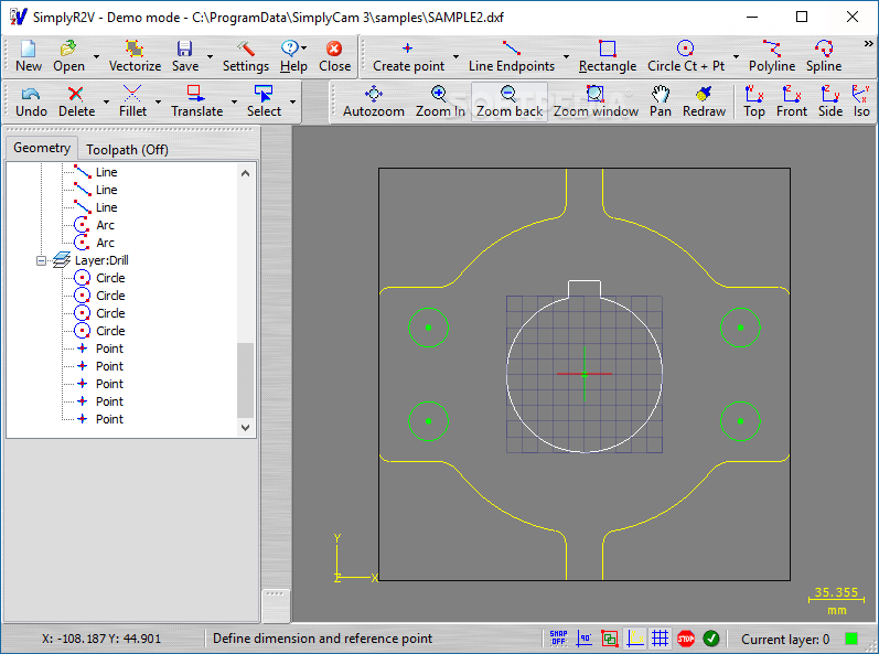
Quickly convert raster images to vector files after making some adjustments to the CAD project using multiple layers and drawing toolsSimplyR2V is a CAD application capable of converting raster images to vector files. It can open bitmap and vector...
Easy Trace Free
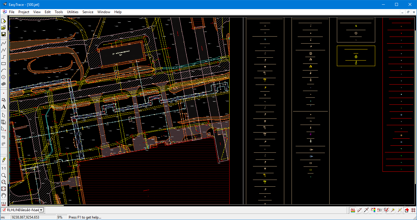
Create complex vector maps by drawing items and associating the project with a raster image for accurate mapping, and export as CAD file when doneModern technology made it possible to map out the entire globe in a computer program...
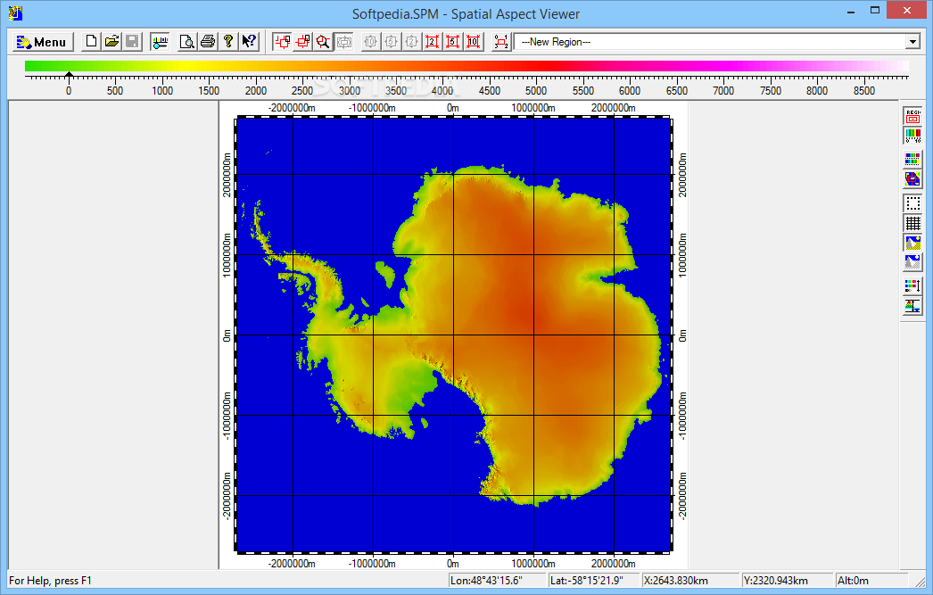
Spatial Aspect Viewer
Observe spatial raster data saved to various formats, manage rendering parameters and print or export the altered maps, with this easy-to-use applicationWhile you can turn to a number of specialized applications if you wish to analyze spatial data stored...
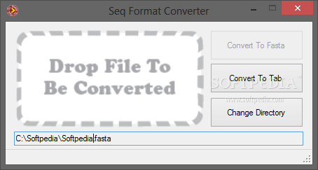
Seq Format Converter
Seamlessly convert files with Fasta, Fastq or tab-delimited sequence data by just dropping them into this application's window for quick processingSeq Format Converter is an easy-to-use application that gives you the possibility to convert files with nucleotide or peptide...
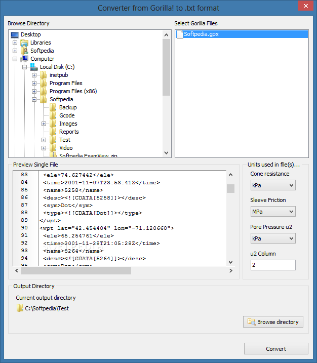
Converter from Gorilla! to .txt format
Converts the Cone Penetration Test sounding files generated by Gorilla in order to import the data in the CPeT-IT interpretation toolConverter from Gorilla! to .txt format is a compact tool designed to convert the sounding files created by the...
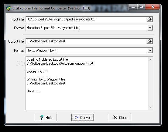
OziExplorer File Format Converter
Convert NMEA and other navigation to OziExplorer formats.OziExplorer File Format Converter is a handy application designed to help you convert multiple file formats in order to use them with OziExplorer. It can handle waypoints, tracks, NMEA sentences and data...

MPS format exporting tool
Convert linear programming problem (MATLAB matrices) to MPS formatWith this function you can build MPS matrix string that contains linear programming problem: Minimizing (for x in R^n): f(x) = cost'*x, subject to A*xSystem requirementsMATLAB 7.6 (R2008a)
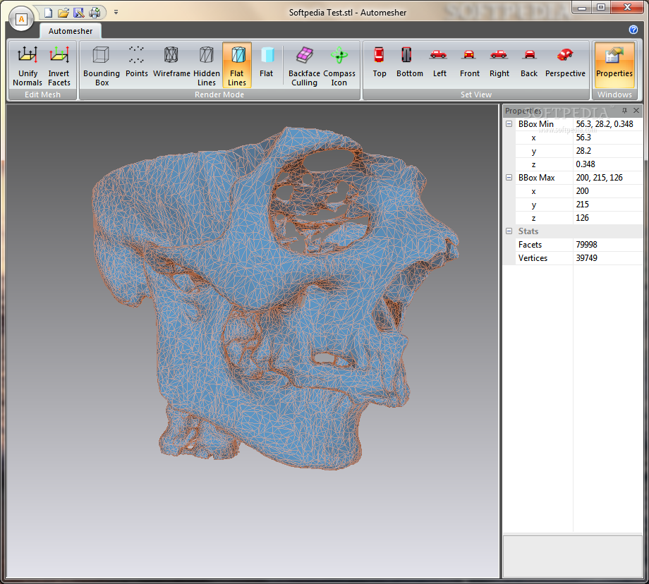
Automesher
Extend the import / export capabilities of your CAD suites with this application that supports an impressive number of 3D formats What's new in Automesher 2.0.7: Mesh reconstruction from ASC, XYZ point cloud files. Read the full changelog...
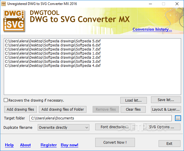
DWG to SVG Converter MX
Convert CAD drawings with the DWG, DXF, DWT and DWF format to SVG files, select the models and layouts, and configure various SVG settings What's new in DWG to SVG Converter MX 2019 6.6.8.170: Supports AutoCAD R2019 format drawing...
Live DFX2BMP
Convert CAD drawings under the DXF format to common BMP picture files without the need for a CAD application thanks to this lightweight toolMost specialized applications with solid purposes export files under their own format. This is also the...
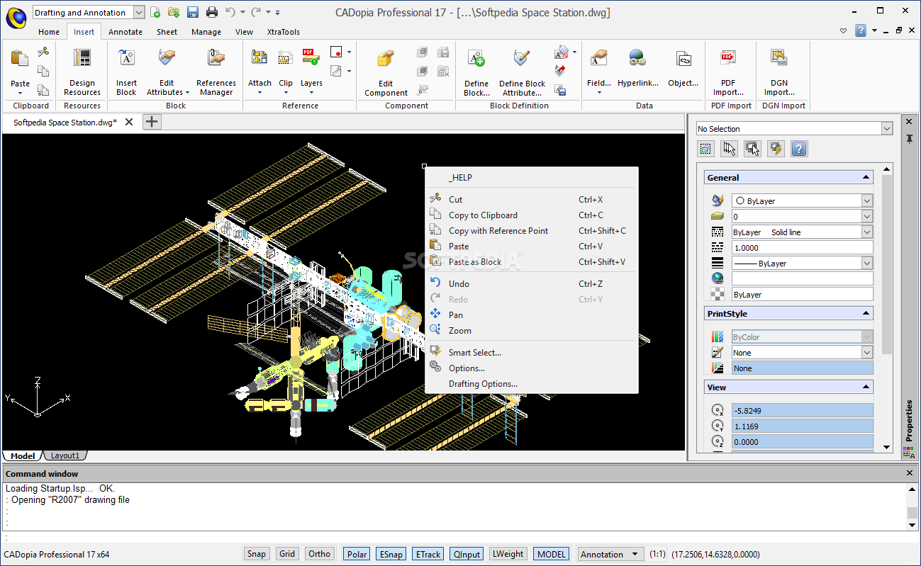
CADopia Professional
Create blueprints for ambitious construction projects or 2D/3D designs using drawing and measuring tools packed in this professional CAD application What's new in CADopia Professional 19.1.2029: New: DWG 2018 Support Digital Signature for your drawings Layer Manager Palette and...

Mantissa
Mantissa is a collection of various mathematical tools aimed towards for simulationMantissa (Mathematical Algorithms for Numerical Tasks In Space System Applications) contains various algorithms useful for dynamics simulation and 3D geometry computation.The library error messages in exceptions are internationalized...
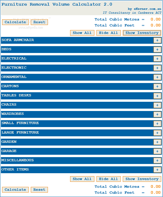
Furniture Removal Volume Calculator
Calculate the cubic meters or cubic feet required to transport your belongings, such as sofas/armchairs, beds, tables/desks, chairs, wardrobes, and small/large furniture What's new in Furniture Removal Volume Calculator 2.0: Added printable inventory list. Added onkeyup handler for auto...
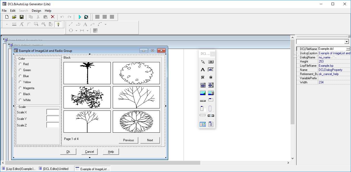
DCL&Lisp Generator Lite
Automatically generate AutoLisp code where you define the components and dialogs minutely and use it in AutoCAD via this applicationWhile it is true that AutoLisp includes a dialog component that is defined separately in a DCL file, unfortunately, the...
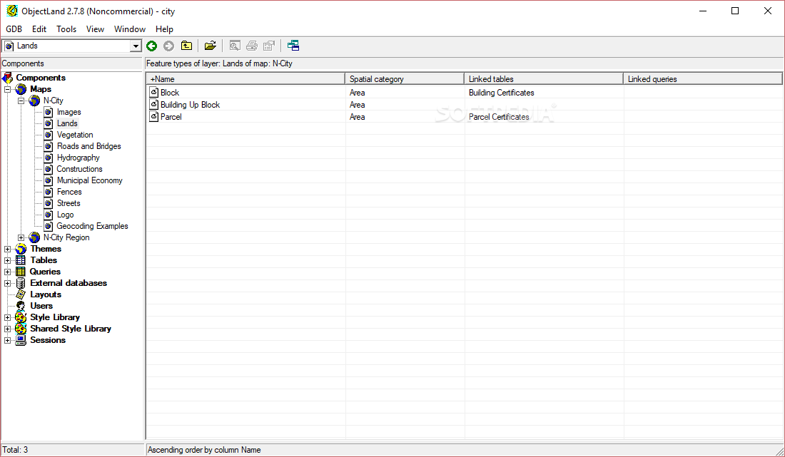
GIS ObjectLand
A universal Geographic Information System that can use spatial data from internal or external databases like MS SQL or Oracle serversNOTE: This application is free for non-commercial use.If you're working in a field that involves relying on a lot...
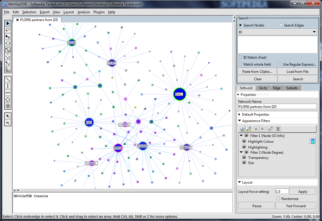
NAViGaTOR
Protein-protein interaction networks visualization software. What's new in NAViGaTOR 2.2.1: New I2D plugin with ability to query for extra data MITAB file handler User interface changes PSI-MI XML file format fixes for node identifiers Read the full changelog...
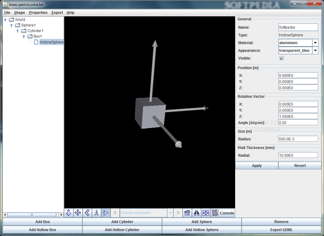
Geometry Definition Tool for SPENVIS
Define 3D geometry with easeGeometry Definition Tool for SPENVIS was built as an interactive graphical utility that is able to define simple 3D geometries.The tool allows you to export your projects as GDML files, a format used by Geant4...
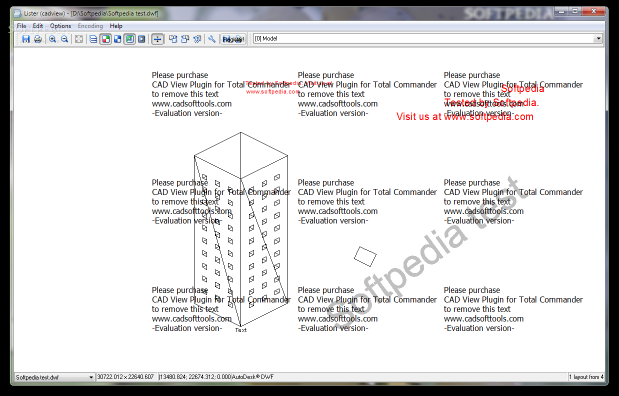
CAD View Plugin for Total Commander
A plugin for Total Commander that supports DWG, DXF, HPGL / HPGL2, SVG, CGM.CAD View Plugin for Total Commander is a small plugin for Total Commander that allows you to view CAD files drawings and export them to BMP,...

InnerSoft CAD for AutoCAD
AutoCAD plugin that facilitates fast data exporting to Excel and features tools for performing measurements in CAD-based projectsInnerSoft CAD for AutoCAD is a plugin for AutoCAD that aims to ease the process of manually exporting data from the popular...
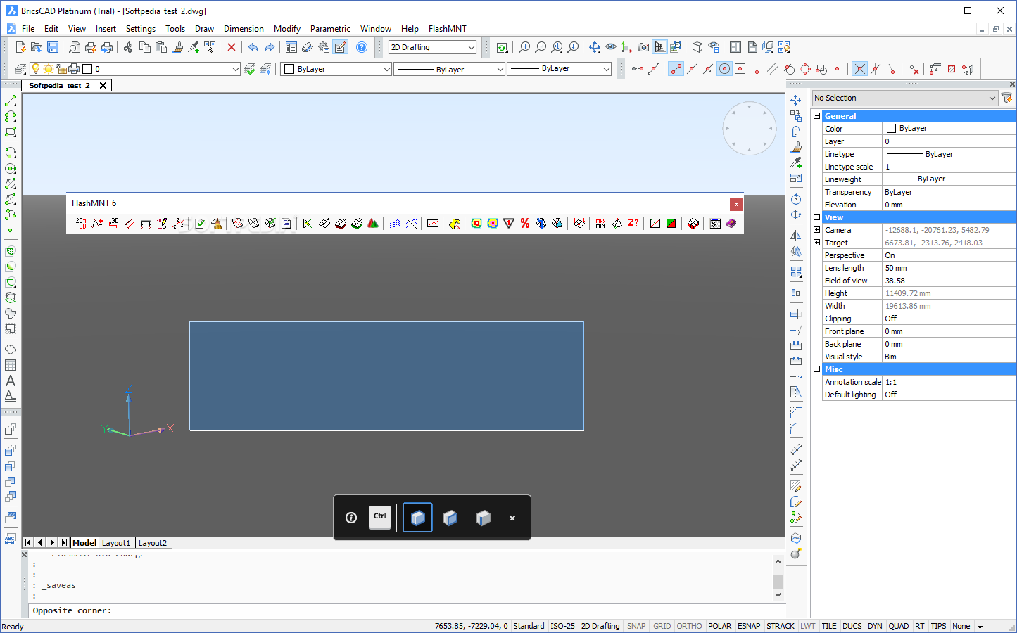
FlashMNT for AutoCAD and BricsCAD
Create 3D Digital Terrain Models and similar meshes that entail calculating areas and volumes without too much hassle using this add-onFrom military applications and other human-made structures to overseeing issues such as water infiltration, overland flow, floods, vegetation distribution...
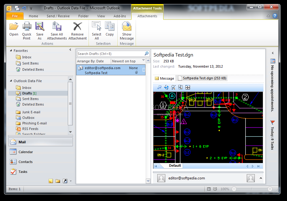
Bentley DGN Reader for Windows 7
This program is designed to help you share DGN files with other users by allowing them to preview them within Windows Explorer or other applicationsBentley DGN Reader for Windows 7 is a shell extension that enables you to preview...
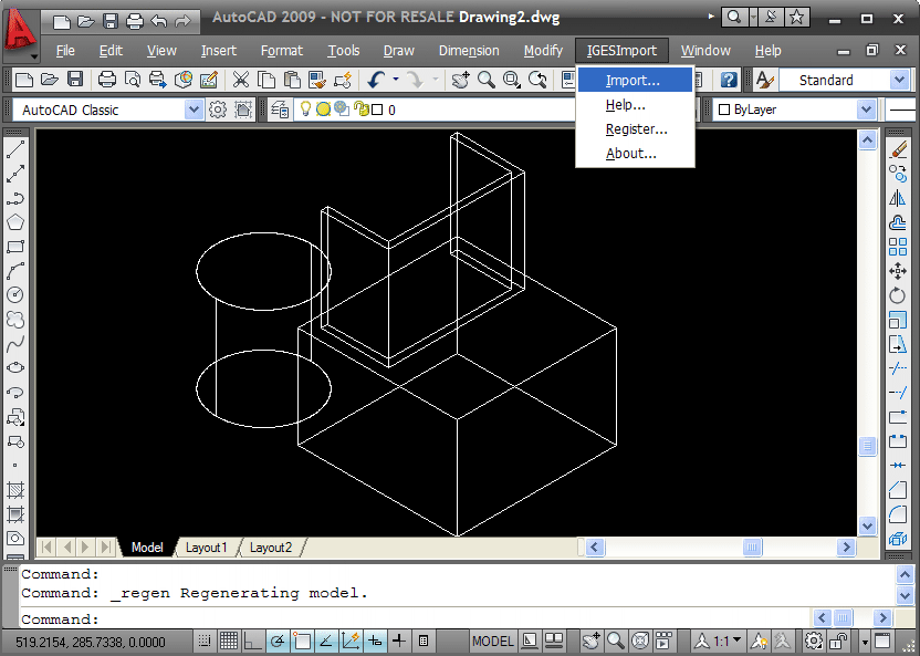
IGES Import for AutoCAD
IGES file import plug-in for AutoCADIGES Import for AutoCAD is a plug-in for AutoCAD 2002, 2000i, 2004 and 2000. This plug-in gives AutoCAD the ability to import geometric data from ASCII IGES files.The Initial Graphics Exchange Specification (.IGES) file...

SAT Import for AutoCAD
SAT file import plug-in for AutoCADSAT Import for AutoCAD is an easy to use ACIS SAT and SAB file importer plug-in for AutoCAD. This plug-in gives AutoCAD the ability to import 3D solid models from ACIS SAT and SAB...
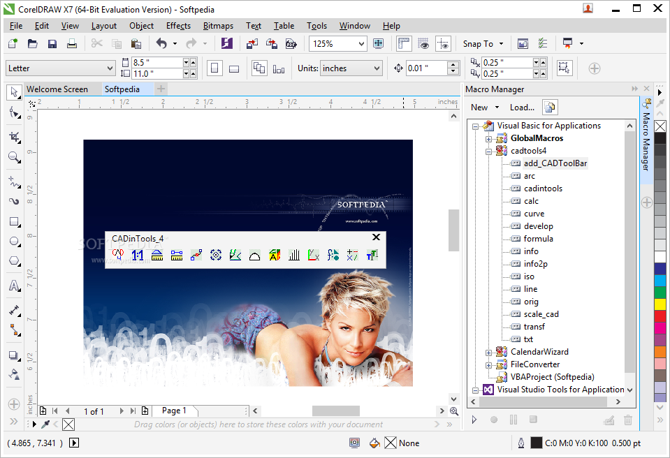
CADinTools Macros for CorelDRAW
A set of additional tools dedicated to performing CAD measurements in CorelDRAW or Corel Designer, aiming to be of assistance to architects and engineersCADinTools Macros aims to ease the work of engineers, designers and architects who need to perform...
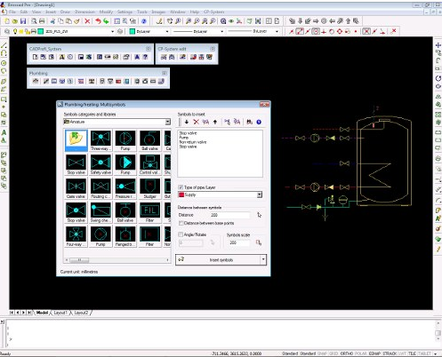
CP-System Building Design for AutoCAD
A professional tool created for AutoCAD users in order to perform mechanical HVAC design, electrical layout, plumbing or structural detail drawing What's new in CP-System Building Design for AutoCAD 9.07: New Release for AutoCAD, progeCAD, AutoCAD LT (with LTX),...
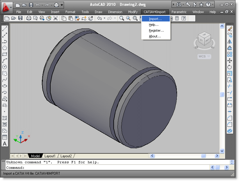
CATIA V4 Import for AutoCAD
CATIA V4 file import plug-in for AutoCADCATIA V4 Import for AutoCAD is a useful plug-in for AutoCAD. This plug-in gives AutoCAD the ability to import data from CATIA V4 part and assembly files. CATIA V4 Import for AutoCAD creates...