Waypoint+ Alternatives for Windows
Do you want to find the best Waypoint+ alternatives for Windows? We have listed 20 Science Cad that are similar to Waypoint+. Pick one from this list to be your new Waypoint+ app on your computers. These apps are ranked by their popularity, so you can use any of the top alternatives to Waypoint+ on your computers.
Top 20 Software Like Waypoint+ - Best Picks for 2026
The best free and paid Waypoint+ alternatives for windows according to actual users and industry experts. Choose one from 20 similar apps like Waypoint+ 2026.
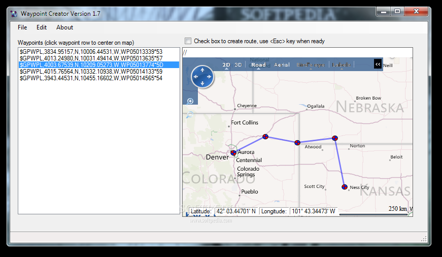
Waypoint Creator
Create your waypoint list with this compact programWaypoint Creator is a handy little program for creating waypoints. It uses Microsoft's Virtual Earth technology for map display and handling. You just need to click a map location in order to...
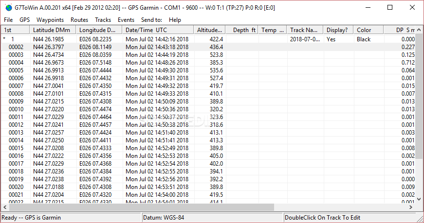
G7ToWin
A comprehensive GPS utility that allows you to create waypoints and upload them to your Garmin device in a simple and fast manner What's new in G7ToWin A.00.201: Fixed a bug involving reading of .cup files. Read the...
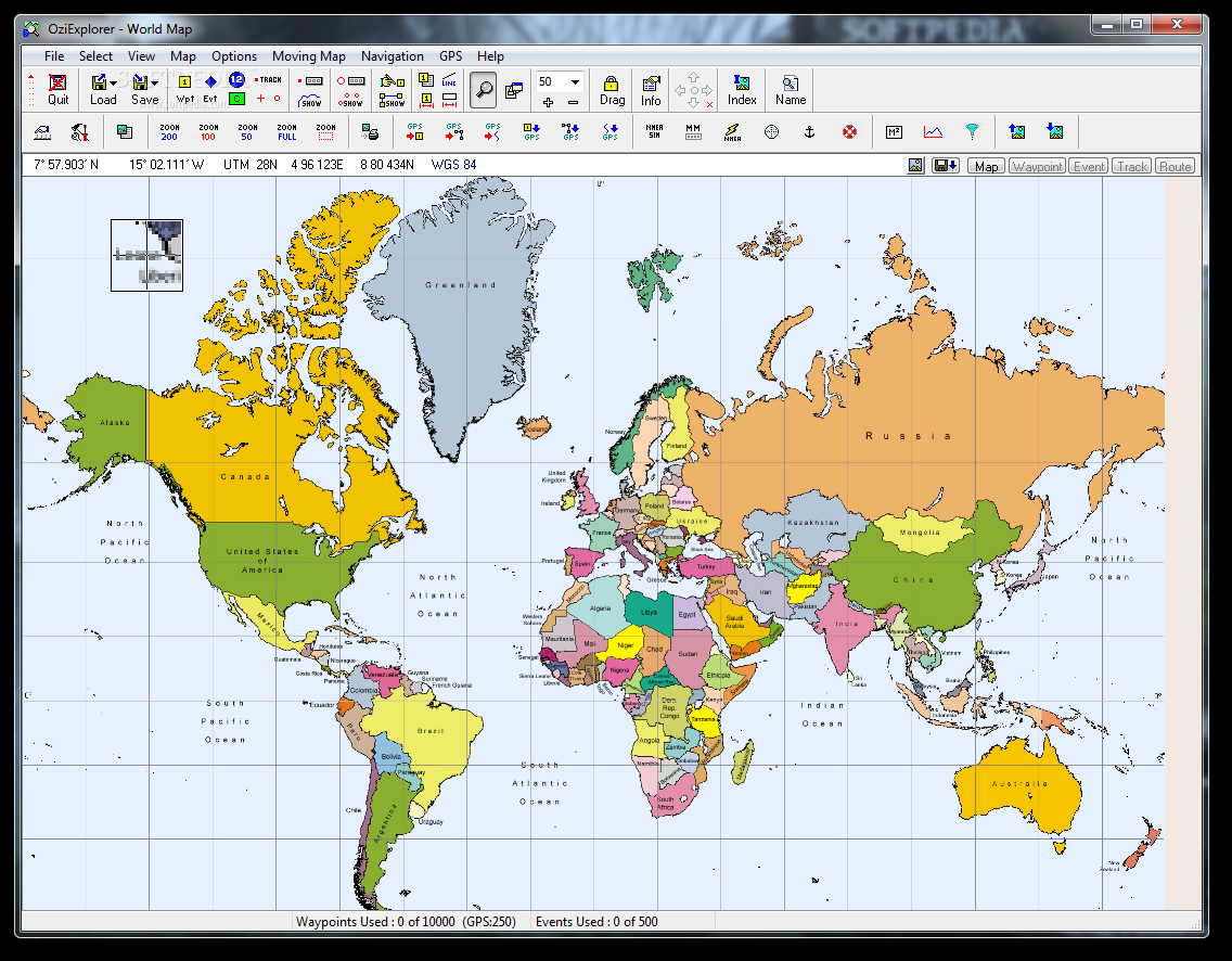
OziExplorer
GPS Interface program with live tracking on your Laptop that allows you to plan your trip ahead on a digital map (scanned or purchased) What's new in OziExplorer 3.95.6f: Added "Selection Control" button to the Track Control Toolbar. Added...
MassMotion
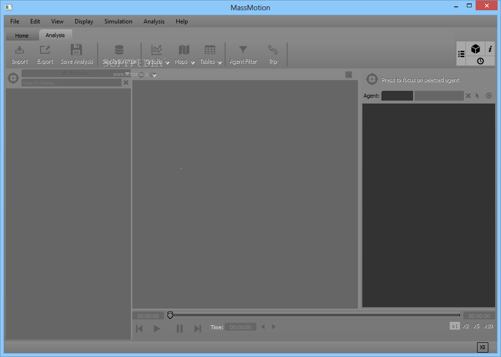
A complex application that enables you to build 3D environments then study crowd movement patterns and simulate pedestrian traffic What's new in MassMotion 9.0.17: SDK: Added ability to query an agent's previous waypoint. SDK: Added ability to control simulation...
CompeGPS AIR
The software that will let you obtain the maximum efficiency and fun before, during and after your flights.CompeGPS is a software application that provides you with maximum fun and efficiency during and after your flights. The great variety of...
GPS TrackMaker
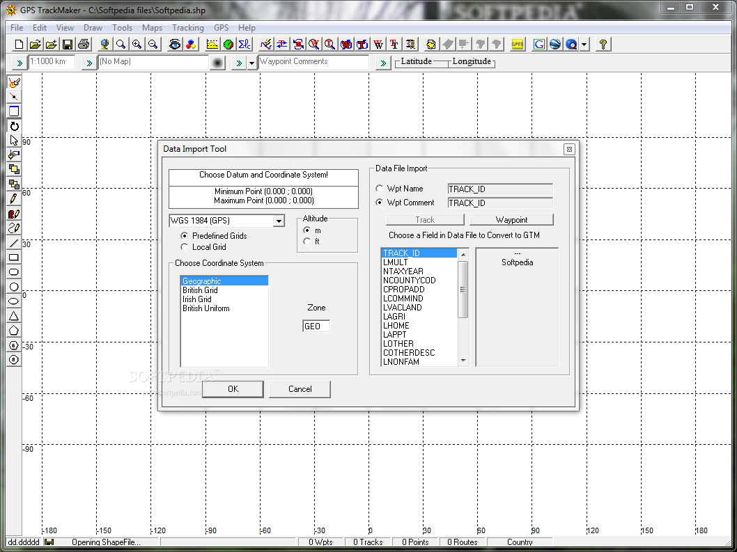
A comprehensive software solution that you can easily use to plot courses, edit waypoints and tracklogs in a simple and fast mannerGPS TrackMaker is an application that you can use to create and transfer waypoints, tracklogs and routes using...
GPSU Olex File Converter
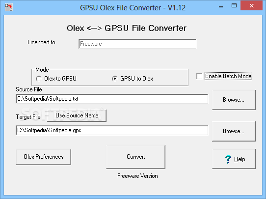
Seamlessly convert files from Olex to GPS Utility format and vice versa, select single or batch mode, and customize Olex preferencesGPSU Olex File Converter is a speedy and easy-to-use software application that gives you the possibility to convert files...
GPS Utility
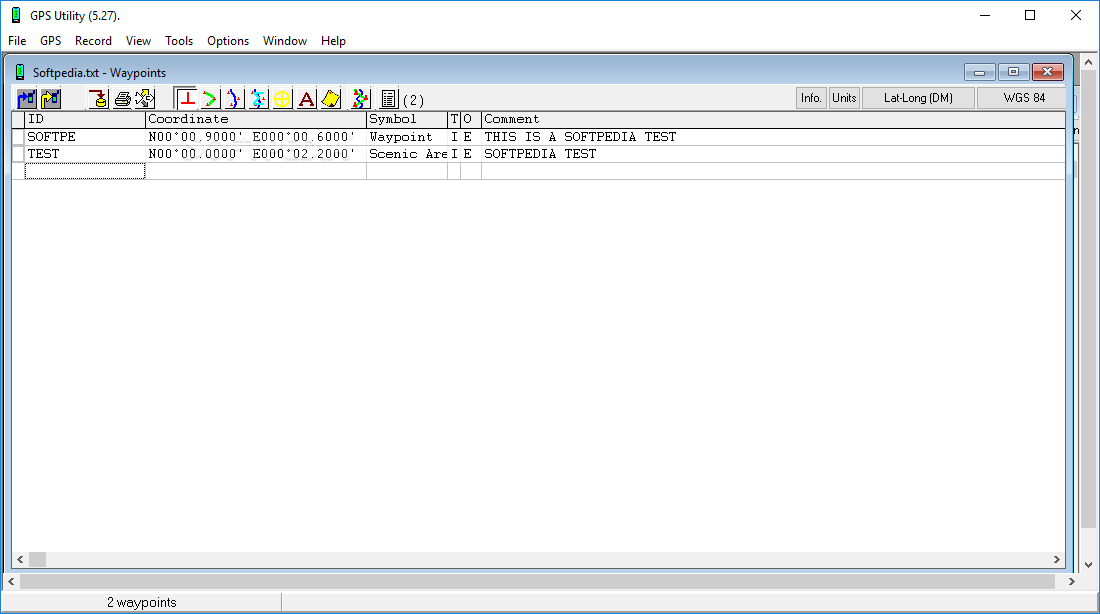
With this simple and intuitive application, you have the possibility of managing waypoints, routes as well as trackpoint information What's new in GPS Utility 5.36: This version includes the following new function and program fixes: Import of Koden *.BIN...
MARiO
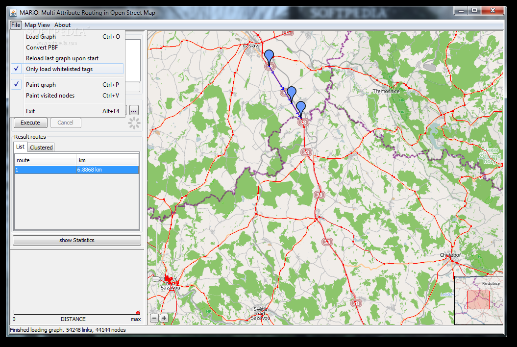
Test routing algorithms with this tool. What's new in MARiO 2: Save recently Used Graph-Path for load Graph Dialog some GUI improvements new algorithm that allows route search with other attributes discontinue support of nodes.txt and ways.txt and use...
SpaceCAD
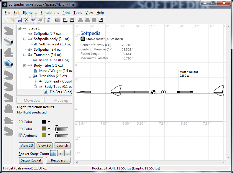
Design the perfect rocket ship and put it to the test before taking it into the field with this lightweight but thorough applicationBefore taking any project out in the field it's best to design it using a computer application...
Ashampoo 3D CAD Architecture
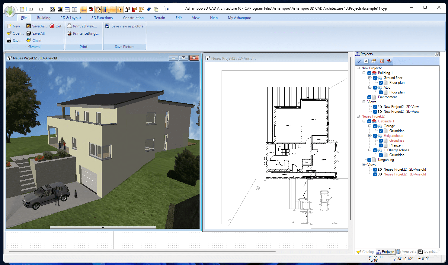
An extensive CAD software solution for exact and realistic planning of construction projects, so that users can preview their designs before implementing them What's new in Ashampoo 3D CAD Architecture 7.0.0: Product overview: New 3D objects More than 350...
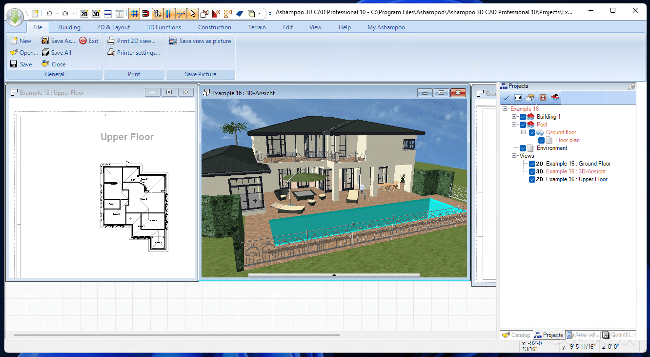
Ashampoo 3D CAD Professional
Build and edit both 2D and 3D objects, with this comprehensive CAD utility that is suitable for professional architects and engineers What's new in Ashampoo 3D CAD Professional 7.0.0: Product overview: New 3D objects More than 350 new 2D...
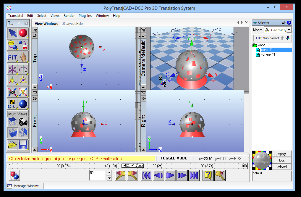
PolyTrans|CAD+DCC Pro 3D Translation System
Comprehensive app for translating CAD files, featuring extensive file type support, manipulation tools, editing options for scenes and objects, and moreGeared toward professionals,PolyTrans|CAD+DCC Pro 3D Translation System is a comprehensive software solution designed to help you translate CAD files.It...
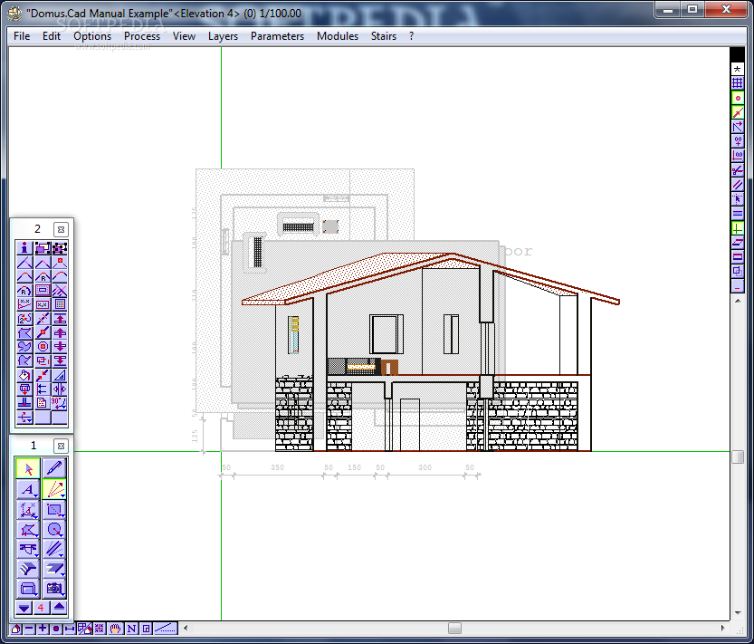
Domus.Cad
3D Architectural Parametric CAD -3D design with the same simplicity as a traditional 2D design What's new in Domus.Cad 15.05: Quadrangular and triangular mesh Automatic rototranslation Banisters, railings, grids Automatic floor and roof structures Read the full changelog...
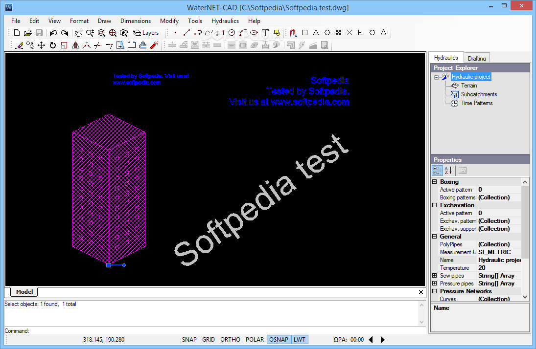
WaterNET-CAD
This complex professional application was developed to help you create pipe network designs for sewer, vacuum sewer or water distributionWaterNET-CAD is an advanced and reliable software solution whose main function resides in offering you the ability to design complex...
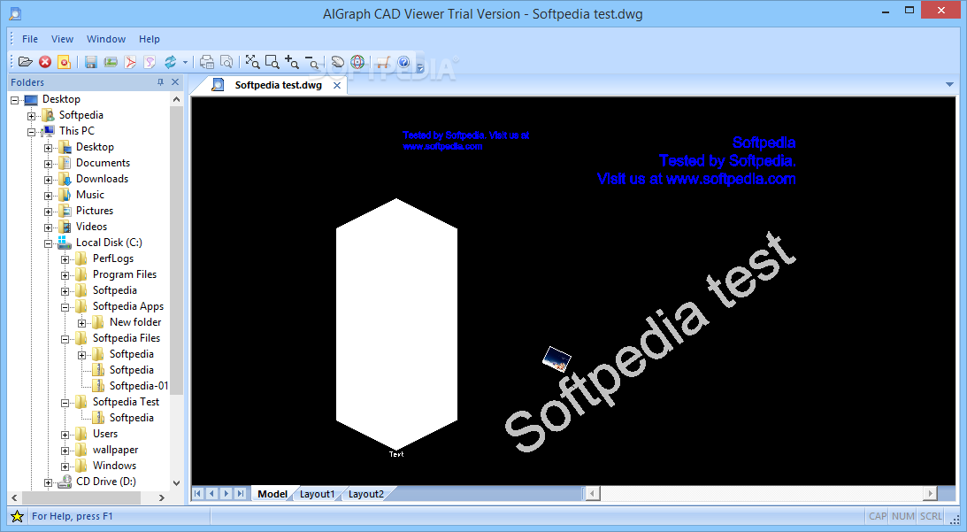
AIGraph CAD Viewer
A simple and easy to use application whose main purpose is to help you view CAD files as well as convert them to various other formatsNote:This software solution is no longer available for purchase but users can still download...
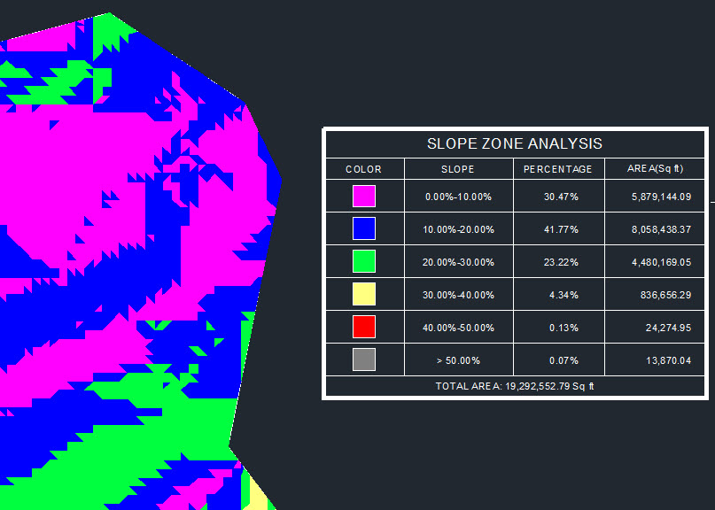
CAD-Earth
Easily export / import CAD screenshots, objects, maps and terrain meshes between Google Earth and major CAD programs and create dynamic contour profiles What's new in CAD-Earth 3.0.2: Import Google Earth image to CAD Export CAD screenshot to Google...
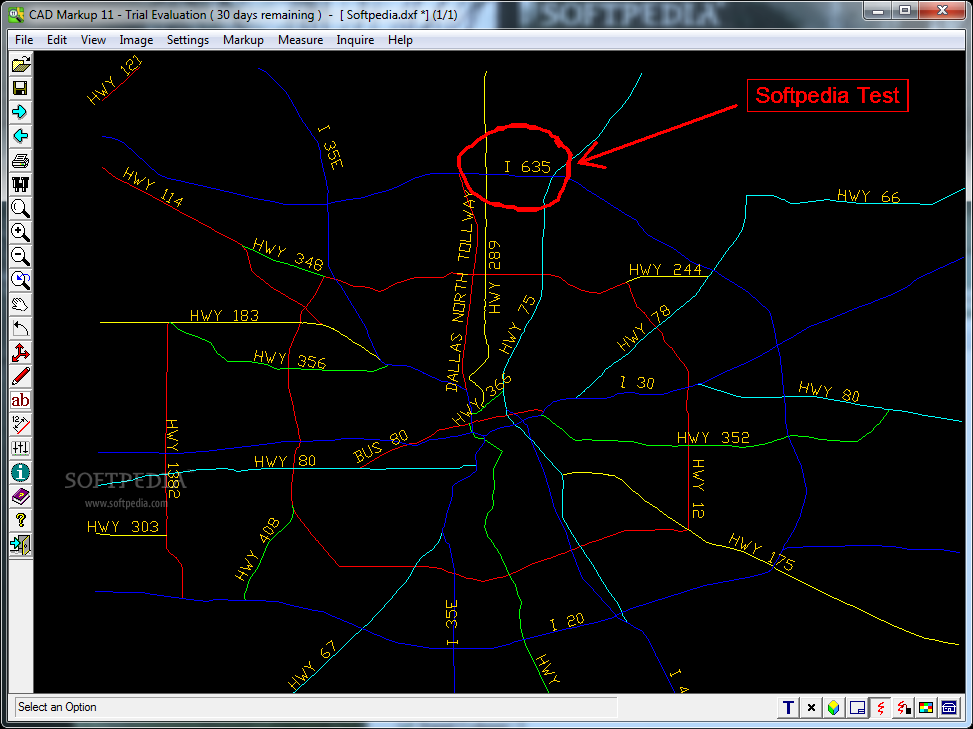
CAD Markup
Allows you to annotate CAD files and export them to image files.CAD Markup is a useful application for the engineers and users who need to make annotations on CAD files. The program can open both vector and raster file...
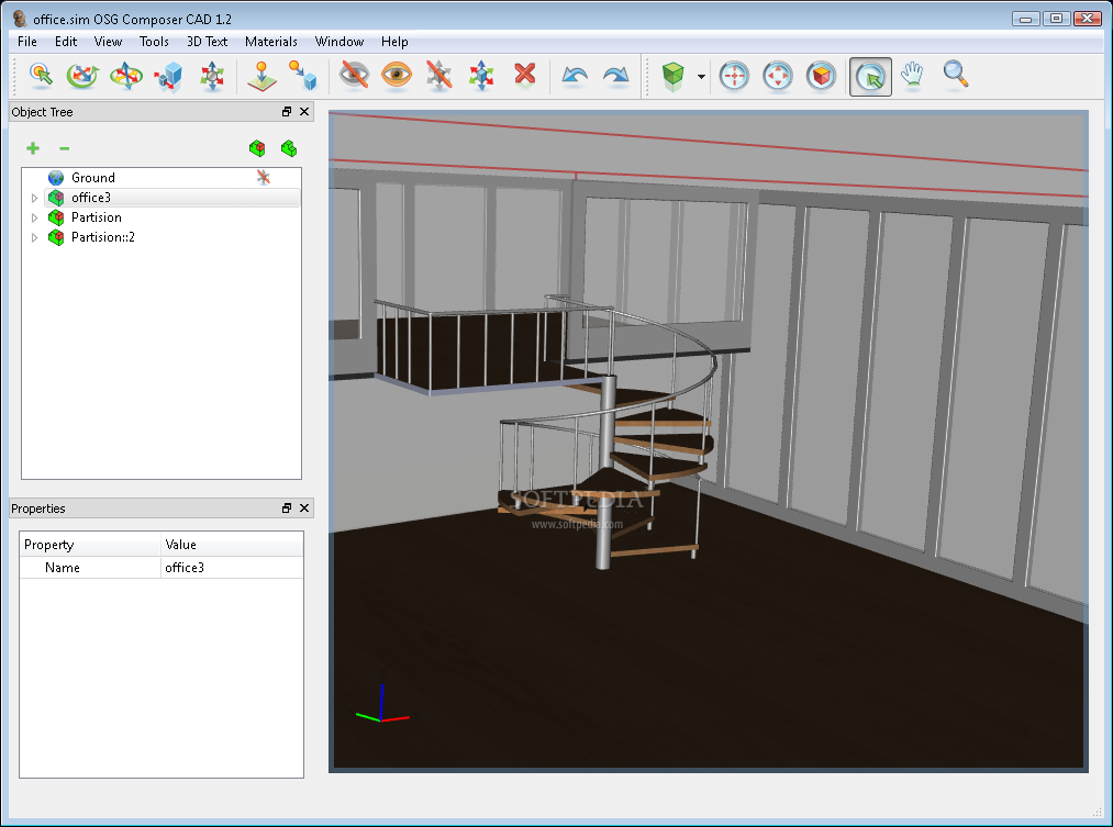
OSG Composer CAD
A tool that facilitates the creation of advanced 3D scenesOSG Composer is powerful yet easy software, used for building 3D scenes. OSG Composer is designed to be very easy to use, with a short learning curve, without limiting user...